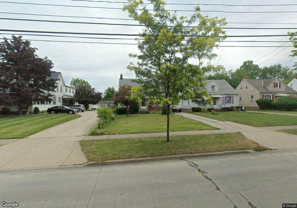
5647 Dunham Rd Maple Heights, OH 44137
Estimated Value: $102,000 - $133,000
3
Beds
1
Bath
1,426
Sq Ft
$85/Sq Ft
Est. Value
About This Home
This home is located at 5647 Dunham Rd, Maple Heights, OH 44137 and is currently estimated at $120,610, approximately $84 per square foot. 5647 Dunham Rd is a home located in Cuyahoga County with nearby schools including Abraham Lincoln Elementary School, Rockside/ J.F. Kennedy School, and Barack Obama School.
Ownership History
Date
Name
Owned For
Owner Type
Purchase Details
Closed on
Oct 5, 2011
Sold by
Ican Real Estate Llc
Bought by
Stupka Mark and Stupka Renee
Current Estimated Value
Purchase Details
Closed on
Dec 30, 2009
Sold by
Echan Norman S and Echan Edward M
Bought by
Ican Real Estate Llc
Purchase Details
Closed on
Jun 9, 1989
Sold by
Echan Edward N
Bought by
Echan Margaret F
Purchase Details
Closed on
Apr 1, 1985
Sold by
Echan Edward N
Bought by
Echan Edward N
Purchase Details
Closed on
Jan 1, 1975
Bought by
Echan Edward N
Create a Home Valuation Report for This Property
The Home Valuation Report is an in-depth analysis detailing your home's value as well as a comparison with similar homes in the area
Home Values in the Area
Average Home Value in this Area
Purchase History
| Date | Buyer | Sale Price | Title Company |
|---|---|---|---|
| Stupka Mark | $49,900 | Chicago Title Insurance Co | |
| Ican Real Estate Llc | -- | Attorney | |
| Echan Margaret F | -- | -- | |
| Echan Edward N | -- | -- | |
| Echan Edward N | -- | -- |
Source: Public Records
Tax History
| Year | Tax Paid | Tax Assessment Tax Assessment Total Assessment is a certain percentage of the fair market value that is determined by local assessors to be the total taxable value of land and additions on the property. | Land | Improvement |
|---|---|---|---|---|
| 2024 | $3,174 | $35,000 | $7,420 | $27,580 |
| 2023 | $2,592 | $24,540 | $6,090 | $18,450 |
| 2022 | $2,583 | $24,540 | $6,090 | $18,450 |
| 2021 | $2,755 | $24,540 | $6,090 | $18,450 |
| 2020 | $2,349 | $18,590 | $4,620 | $13,970 |
| 2019 | $2,337 | $53,100 | $13,200 | $39,900 |
| 2018 | $2,208 | $18,590 | $4,620 | $13,970 |
| 2017 | $2,256 | $17,540 | $3,820 | $13,720 |
| 2016 | $2,182 | $17,540 | $3,820 | $13,720 |
| 2015 | $6,802 | $17,540 | $3,820 | $13,720 |
| 2014 | $6,802 | $18,060 | $3,920 | $14,140 |
Source: Public Records
Map
Nearby Homes
- 15313 Fernway Dr
- 15817 Northwood Ave
- 14413 Krems Ave
- 14214 Tabor Ave
- 14203 Tabor Ave
- 14808 James Ave
- 16406 Home St
- 5650 Lafayette Ave
- 13905 Thraves Ave
- 14012 Wheeler Rd
- 14320 Janice Dr
- 13804 Rockside Rd
- 13616 Oakview Blvd
- 6045 Dunham Rd
- 15305 Steinway Blvd
- 5370 Lee Rd Unit 302
- 5382 Lee Rd Unit 102
- 5382 Lee Rd Unit 204
- 5382 Lee Rd Unit 202
- 13719 Wolf Ave
- 5651 Dunham Rd
- 5641 Dunham Rd
- 5655 Dunham Rd
- 5637 Dunham Rd
- 5659 Dunham Rd
- 5590 Sunny Lane Rd
- 5600 Sunny Lane Rd
- 5610 Sunny Lane Rd
- 5633 Dunham Rd
- 5580 Sunny Lane Rd
- 5663 Dunham Rd
- 5620 Sunny Lane Rd
- 5570 Sunny Lane Rd
- 5623 Dunham Rd
- 5667 Dunham Rd
- 5630 Sunny Lane Rd
- 5640 Dunham Rd
- 5638 Dunham Rd
- 5648 Dunham Rd
- 5619 Dunham Rd
Your Personal Tour Guide
Ask me questions while you tour the home.