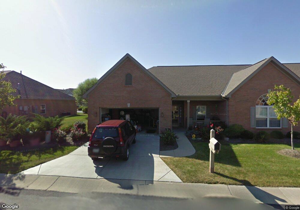
5647 Harbourside Dr Unit G55 Mason, OH 45040
Deerfield Township NeighborhoodEstimated Value: $351,000 - $735,000
--
Bed
--
Bath
--
Sq Ft
261
Sq Ft Lot
About This Home
This home is located at 5647 Harbourside Dr Unit G55, Mason, OH 45040 and is currently estimated at $543,000. 5647 Harbourside Dr Unit G55 is a home located in Warren County with nearby schools including Mason Intermediate Elementary School, Mason Middle School, and William Mason High School.
Ownership History
Date
Name
Owned For
Owner Type
Purchase Details
Closed on
Dec 31, 2018
Sold by
Brown Allen C
Bought by
Adaa Llc
Current Estimated Value
Purchase Details
Closed on
Feb 12, 2018
Sold by
Brown Allen C
Bought by
Brown Allen C and Brown B
Purchase Details
Closed on
Feb 12, 2017
Sold by
Brown Allen C
Bought by
Brown Allen C and Brown B
Purchase Details
Closed on
Nov 16, 2012
Sold by
Biedenkopf John R and Biedenkopf Floene S
Bought by
Brown Allen C and Brown Deborah A
Purchase Details
Closed on
Sep 8, 2003
Sold by
Harbour Watch Llc
Bought by
Biedenkopf John R and Biedenkopf Floence S
Create a Home Valuation Report for This Property
The Home Valuation Report is an in-depth analysis detailing your home's value as well as a comparison with similar homes in the area
Home Values in the Area
Average Home Value in this Area
Purchase History
| Date | Buyer | Sale Price | Title Company |
|---|---|---|---|
| Adaa Llc | -- | None Available | |
| Brown Allen C | -- | -- | |
| Brown Allen C | -- | -- | |
| Brown Allen C | -- | None Available | |
| Biedenkopf John R | $4,000 | -- |
Source: Public Records
Tax History Compared to Growth
Tax History
| Year | Tax Paid | Tax Assessment Tax Assessment Total Assessment is a certain percentage of the fair market value that is determined by local assessors to be the total taxable value of land and additions on the property. | Land | Improvement |
|---|---|---|---|---|
| 2024 | $183 | $4,210 | $180 | $4,030 |
| 2023 | $195 | $3,748 | $217 | $3,531 |
| 2022 | $195 | $3,749 | $217 | $3,532 |
| 2021 | $185 | $3,749 | $217 | $3,532 |
| 2020 | $178 | $3,045 | $175 | $2,870 |
| 2019 | $165 | $3,045 | $175 | $2,870 |
| 2018 | $166 | $3,045 | $175 | $2,870 |
| 2017 | $162 | $2,755 | $158 | $2,597 |
| 2016 | $167 | $2,755 | $158 | $2,597 |
| 2015 | $167 | $2,755 | $158 | $2,597 |
| 2014 | -- | $2,570 | $150 | $2,430 |
| 2013 | $170 | $3,050 | $180 | $2,870 |
Source: Public Records
Map
Nearby Homes
- 5626 Baywatch Way
- 5661 Baywatch Way
- 7693 Misty Springs Ct
- 7725 Livingston Dr
- 8421 Cameron Ct
- 7648 Waterfront Way
- 7660 Waterfront Way
- 7692 Waterfront Way
- 7600 Waterfront Way
- 5339 Mapledale Way
- 5369 N Shore Place
- 6266 Trailwood Ct
- 8659 Coveview Ct
- 7911 Meadowbrook Dr
- 7839 Meadowbrook Dr
- 5532 Winding Cape Way
- 5641 Melbury Ct
- 6439 Fox & Hound Ct
- 7858 Yellowwood Dr
- 4765 Mallard Creek Dr
- 5647 Harbourside Dr Unit 101
- 5647 Harbourside Dr Unit 101
- 5647 Harbourside Dr
- 5651 Harbourside Dr Unit 102
- 5651 Harbourside Dr
- 5655 Harbourside Dr Unit 103
- 5655 Harbourside Dr
- 5625 Harbourside Dr Unit 10104
- 5625 Harbourside Dr Unit G250
- 5625 Harbourside Dr Unit 104
- 5625 Harbourside Dr
- 5646 Harbourside Dr
- 5646 Harbourside Dr
- 5650 Harbourside Dr
- 5650 Harbourside Dr
- 5661 Dockside Dr
- 5654 Harbourside Dr
- 5654 Harbourside Dr
- 5661 Harbourside Dr Unit 104
- 5661 Harbourside Dr Unit G246