565 232nd Ave Somerset, WI 54025
Estimated Value: $447,627 - $535,000
3
Beds
2
Baths
--
Sq Ft
6.52
Acres
About This Home
This home is located at 565 232nd Ave, Somerset, WI 54025 and is currently estimated at $489,907. 565 232nd Ave is a home located in St. Croix County with nearby schools including Somerset Elementary School, Somerset Middle School, and Somerset High School.
Ownership History
Date
Name
Owned For
Owner Type
Purchase Details
Closed on
Sep 14, 2016
Sold by
Kintner Martin J
Bought by
Denzer Craig O and Denzer Mary L
Current Estimated Value
Home Financials for this Owner
Home Financials are based on the most recent Mortgage that was taken out on this home.
Original Mortgage
$255,290
Outstanding Balance
$203,916
Interest Rate
3.43%
Mortgage Type
FHA
Estimated Equity
$285,991
Purchase Details
Closed on
Sep 12, 2008
Sold by
Tornio Dennis A and Tornio Nancy C
Bought by
Kintner Martin J
Create a Home Valuation Report for This Property
The Home Valuation Report is an in-depth analysis detailing your home's value as well as a comparison with similar homes in the area
Home Values in the Area
Average Home Value in this Area
Purchase History
| Date | Buyer | Sale Price | Title Company |
|---|---|---|---|
| Denzer Craig O | $260,000 | Attorney | |
| Kintner Martin J | $257,400 | Title One Premier Group |
Source: Public Records
Mortgage History
| Date | Status | Borrower | Loan Amount |
|---|---|---|---|
| Open | Denzer Craig O | $255,290 |
Source: Public Records
Tax History Compared to Growth
Tax History
| Year | Tax Paid | Tax Assessment Tax Assessment Total Assessment is a certain percentage of the fair market value that is determined by local assessors to be the total taxable value of land and additions on the property. | Land | Improvement |
|---|---|---|---|---|
| 2024 | $34 | $349,600 | $111,100 | $238,500 |
| 2023 | $3,619 | $349,600 | $111,100 | $238,500 |
| 2022 | $3,528 | $349,600 | $111,100 | $238,500 |
| 2021 | $3,530 | $240,000 | $72,600 | $167,400 |
| 2020 | $3,545 | $240,000 | $72,600 | $167,400 |
| 2019 | $3,252 | $240,000 | $72,600 | $167,400 |
| 2018 | $3,202 | $240,000 | $72,600 | $167,400 |
| 2017 | $2,816 | $240,000 | $72,600 | $167,400 |
| 2016 | $2,816 | $169,900 | $39,100 | $130,800 |
| 2015 | $2,696 | $169,900 | $39,100 | $130,800 |
| 2014 | $2,557 | $169,900 | $39,100 | $130,800 |
| 2013 | $2,564 | $169,900 | $39,100 | $130,800 |
Source: Public Records
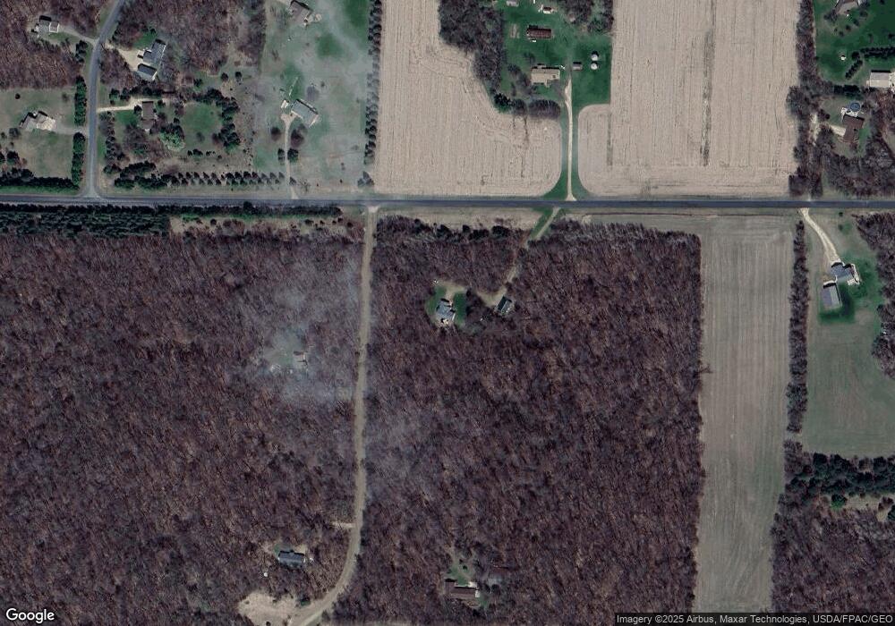
Map
Nearby Homes
- 2276 44th St
- 2771 County Line Ave
- Lot #1 xxx 74th St
- Lot #19 xxx 74th St
- Lot #14 xxx 74th St
- 2136 62nd St
- 462 210th Ave
- 413 210th Ave
- TBD Delong Rd
- 6XX 205th Ave
- 2113 80th St
- 1986 57th St
- 480 Maple St
- 16993 197th St N
- 1932 64th St
- 931 218th Ave
- 357 Harriman St
- 315 Harriman St
- 481 Martin Way
- 441 Charles Ln