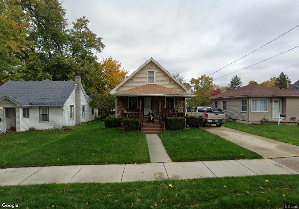
565 Denver St Lansing, MI 48910
Old Everett NeighborhoodEstimated Value: $117,000 - $138,000
--
Bed
--
Bath
893
Sq Ft
$141/Sq Ft
Est. Value
About This Home
This home is located at 565 Denver St, Lansing, MI 48910 and is currently estimated at $126,299, approximately $141 per square foot. 565 Denver St is a home located in Ingham County with nearby schools including Lyons Elementary School, Attwood School, and Everett High School.
Ownership History
Date
Name
Owned For
Owner Type
Purchase Details
Closed on
Sep 17, 2004
Sold by
Goward Michelle M and Goward Thomas N
Bought by
Goward Thomas N and Goward Michelle M
Current Estimated Value
Purchase Details
Closed on
Jun 16, 2000
Sold by
Hiner Marion L and Hiner Maria L
Bought by
Hiner Michelle M
Home Financials for this Owner
Home Financials are based on the most recent Mortgage that was taken out on this home.
Original Mortgage
$44,000
Interest Rate
11.5%
Mortgage Type
Purchase Money Mortgage
Create a Home Valuation Report for This Property
The Home Valuation Report is an in-depth analysis detailing your home's value as well as a comparison with similar homes in the area
Home Values in the Area
Average Home Value in this Area
Purchase History
| Date | Buyer | Sale Price | Title Company |
|---|---|---|---|
| Goward Thomas N | -- | -- | |
| Goward Michelle | -- | Title Direct | |
| Hiner Michelle M | $53,500 | -- |
Source: Public Records
Mortgage History
| Date | Status | Borrower | Loan Amount |
|---|---|---|---|
| Closed | Hiner Michelle M | $44,000 |
Source: Public Records
Tax History Compared to Growth
Tax History
| Year | Tax Paid | Tax Assessment Tax Assessment Total Assessment is a certain percentage of the fair market value that is determined by local assessors to be the total taxable value of land and additions on the property. | Land | Improvement |
|---|---|---|---|---|
| 2025 | $2,172 | $55,600 | $7,100 | $48,500 |
| 2024 | $17 | $50,400 | $7,100 | $43,300 |
| 2023 | $2,038 | $44,500 | $7,100 | $37,400 |
| 2022 | $1,840 | $39,400 | $6,500 | $32,900 |
| 2021 | $1,802 | $36,600 | $4,300 | $32,300 |
| 2020 | $1,791 | $35,600 | $4,300 | $31,300 |
| 2019 | $2,990 | $31,000 | $4,300 | $26,700 |
| 2018 | $1,609 | $27,800 | $4,300 | $23,500 |
| 2017 | $1,540 | $27,800 | $4,300 | $23,500 |
| 2016 | $2,656 | $27,300 | $4,300 | $23,000 |
| 2015 | $2,656 | $26,100 | $8,538 | $17,562 |
| 2014 | $2,656 | $25,600 | $6,641 | $18,959 |
Source: Public Records
Map
Nearby Homes
- 3145 S Cedar St
- 610 N Dexter Dr
- 413 E Hodge Ave
- 626 Tisdale Ave
- 601 Tisdale Ave
- 3216 Ellen Ave
- 3114 Alden Dr
- 701 Tisdale Ave
- 3101 Plymouth Dr
- 538 Pacific Ave
- 100 Dunlap St
- 520 Riley St
- 2208 Lyons Ave
- 2340 S Pennsylvania Ave
- 2230 Maplewood Ave
- 3319 Jewell Ave
- 904 Pacific Ave
- 2309 S Pennsylvania Ave
- 704 Mckim Ave
- 2107 Teel Ave