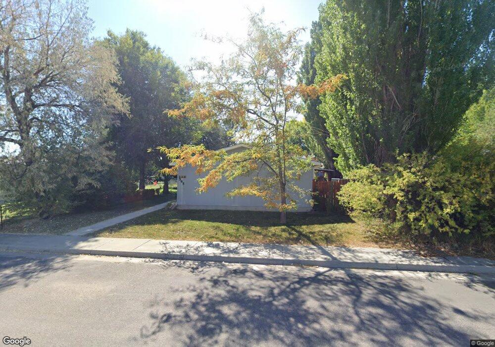
565 Johnson St Lander, WY 82520
Estimated Value: $309,685 - $356,000
3
Beds
2
Baths
1,604
Sq Ft
$204/Sq Ft
Est. Value
About This Home
This home is located at 565 Johnson St, Lander, WY 82520 and is currently estimated at $327,671, approximately $204 per square foot. 565 Johnson St is a home located in Fremont County with nearby schools including Lander Valley High School.
Ownership History
Date
Name
Owned For
Owner Type
Purchase Details
Closed on
Aug 27, 2010
Sold by
Schroeder Jerry L and Schroeder Theresa
Bought by
Halsey Amy J
Current Estimated Value
Purchase Details
Closed on
May 27, 2008
Sold by
Knight Pat and Knight Trudy
Bought by
Countryman Betty and Countryman John
Purchase Details
Closed on
May 3, 2008
Sold by
Countrymman Bett4y A and Countryman Johnn
Bought by
Schroedar Jerry L and Schroeder Theresa
Create a Home Valuation Report for This Property
The Home Valuation Report is an in-depth analysis detailing your home's value as well as a comparison with similar homes in the area
Home Values in the Area
Average Home Value in this Area
Purchase History
| Date | Buyer | Sale Price | Title Company |
|---|---|---|---|
| Halsey Amy J | -- | Wyoming Title Service | |
| Countryman Betty | -- | Fremont County Title | |
| Schroedar Jerry L | -- | Fremont County Title |
Source: Public Records
Tax History
| Year | Tax Paid | Tax Assessment Tax Assessment Total Assessment is a certain percentage of the fair market value that is determined by local assessors to be the total taxable value of land and additions on the property. | Land | Improvement |
|---|---|---|---|---|
| 2025 | $1,832 | $19,308 | $5,346 | $13,962 |
| 2024 | $1,832 | $23,739 | $5,346 | $18,393 |
| 2023 | $1,720 | $22,469 | $4,771 | $17,698 |
| 2022 | $1,493 | $19,933 | $4,771 | $15,162 |
| 2021 | $1,371 | $17,715 | $4,685 | $13,030 |
| 2020 | $1,294 | $16,744 | $4,685 | $12,059 |
| 2019 | $1,258 | $16,018 | $4,685 | $11,333 |
| 2018 | $1,210 | $15,246 | $4,647 | $10,599 |
| 2017 | $1,197 | $15,044 | $4,647 | $10,397 |
| 2016 | $1,504 | $18,935 | $4,647 | $14,288 |
| 2015 | $1,325 | $16,862 | $4,647 | $12,215 |
| 2014 | $1,301 | $16,584 | $4,647 | $11,937 |
Source: Public Records
Map
Nearby Homes
- 980 Riverview Dr
- 764 N 4th St
- 537 Market St
- 1105 N 2nd St
- 385 Wood St
- 787 Victory Ln
- 766 Victory Ln
- 442 Eugene St
- 106 Rail Ln
- 360 N 9th St
- 625 Cottonwood Ln
- 1530 W Main St
- 617 Main St Unit LotWP001
- 824 Main St
- 835 Garfield St
- 180 S 10th St
- 1100 Pronghorn Dr
- 1072 Pronghorn Dr
- 1062 Pronghorn Dr
- 1176 Garfield St
Your Personal Tour Guide
Ask me questions while you tour the home.