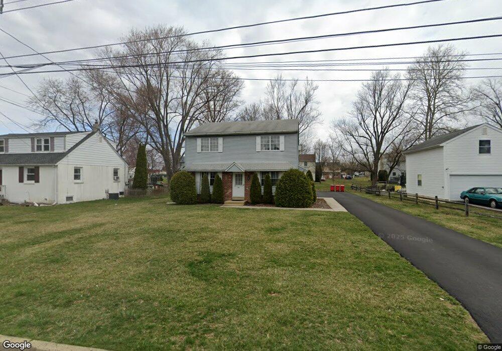
565 Maple St Warminster, PA 18974
Estimated Value: $467,000 - $525,000
--
Bed
3
Baths
1,920
Sq Ft
$257/Sq Ft
Est. Value
About This Home
This home is located at 565 Maple St, Warminster, PA 18974 and is currently estimated at $493,831, approximately $257 per square foot. 565 Maple St is a home located in Bucks County with nearby schools including McDonald Elementary School, Log College Middle School, and William Tennent High School.
Ownership History
Date
Name
Owned For
Owner Type
Purchase Details
Closed on
Apr 22, 2014
Sold by
Wendig Robert E and Wendig Nancy P
Bought by
Wendig Robert E
Current Estimated Value
Home Financials for this Owner
Home Financials are based on the most recent Mortgage that was taken out on this home.
Original Mortgage
$82,500
Outstanding Balance
$62,880
Interest Rate
4.41%
Mortgage Type
New Conventional
Estimated Equity
$430,951
Purchase Details
Closed on
Mar 29, 1983
Bought by
Wendig Robert E and Wendig Nancy P
Create a Home Valuation Report for This Property
The Home Valuation Report is an in-depth analysis detailing your home's value as well as a comparison with similar homes in the area
Home Values in the Area
Average Home Value in this Area
Purchase History
| Date | Buyer | Sale Price | Title Company |
|---|---|---|---|
| Wendig Robert E | -- | None Available | |
| Wendig Robert E | $82,000 | -- |
Source: Public Records
Mortgage History
| Date | Status | Borrower | Loan Amount |
|---|---|---|---|
| Open | Wendig Robert E | $82,500 |
Source: Public Records
Tax History Compared to Growth
Tax History
| Year | Tax Paid | Tax Assessment Tax Assessment Total Assessment is a certain percentage of the fair market value that is determined by local assessors to be the total taxable value of land and additions on the property. | Land | Improvement |
|---|---|---|---|---|
| 2025 | $6,416 | $30,400 | $5,440 | $24,960 |
| 2024 | $6,416 | $30,400 | $5,440 | $24,960 |
| 2023 | $6,219 | $30,400 | $5,440 | $24,960 |
| 2022 | $6,086 | $30,400 | $5,440 | $24,960 |
| 2021 | $5,944 | $30,400 | $5,440 | $24,960 |
| 2020 | $5,861 | $30,400 | $5,440 | $24,960 |
| 2019 | $5,549 | $30,400 | $5,440 | $24,960 |
| 2018 | $5,417 | $30,400 | $5,440 | $24,960 |
| 2017 | $5,258 | $30,400 | $5,440 | $24,960 |
| 2016 | $5,258 | $30,400 | $5,440 | $24,960 |
| 2015 | $5,644 | $30,400 | $5,440 | $24,960 |
| 2014 | $5,644 | $30,400 | $5,440 | $24,960 |
Source: Public Records
Map
Nearby Homes
- 446 Maple St
- 0 York Rd
- 724 Cypress Rd
- 713 Mason Dr
- 425 Grape St
- 735 Claire Rd
- 632 Longfellow Ct
- 200 Maple St
- 472 4th Ave
- 990 Meadow Glen Rd
- 491 Prospect Rd
- 408 Brandywine Ct Unit YV408
- 422 Brandywine Ct Unit YV422
- L:26 Street Rd
- 905 Holden Ct
- 1075 Roberts Rd
- 1002 Windsor Rd
- 942 Stein Ct
- 675 Cheryl Dr
- 14 Norwyn Rd