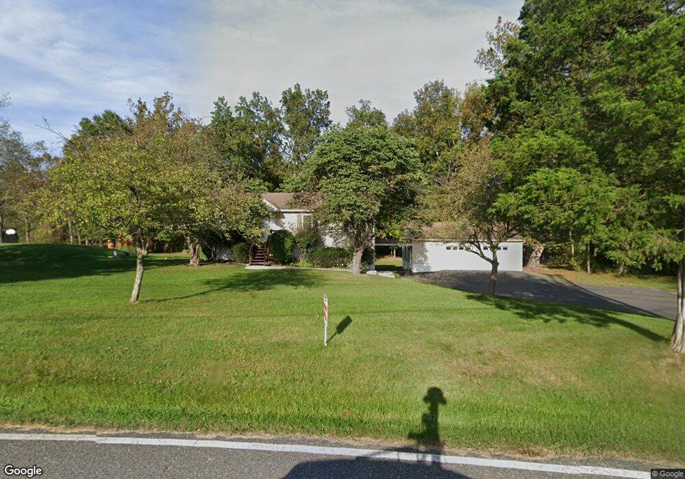
565 Miles Rd Gilbertsville, PA 19525
Estimated Value: $411,000 - $434,000
3
Beds
2
Baths
1,092
Sq Ft
$384/Sq Ft
Est. Value
About This Home
This home is located at 565 Miles Rd, Gilbertsville, PA 19525 and is currently estimated at $419,228, approximately $383 per square foot. 565 Miles Rd is a home located in Montgomery County with nearby schools including Boyertown Area Senior High School and Creative Minds Montessori School.
Ownership History
Date
Name
Owned For
Owner Type
Purchase Details
Closed on
Nov 4, 2021
Sold by
Meehan Anita M
Bought by
Lucas Brian J
Current Estimated Value
Home Financials for this Owner
Home Financials are based on the most recent Mortgage that was taken out on this home.
Original Mortgage
$305,453
Outstanding Balance
$280,474
Interest Rate
3.14%
Mortgage Type
New Conventional
Estimated Equity
$138,754
Purchase Details
Closed on
Nov 7, 1986
Bought by
Mulstay Richard E and Meehan Anita M
Create a Home Valuation Report for This Property
The Home Valuation Report is an in-depth analysis detailing your home's value as well as a comparison with similar homes in the area
Home Values in the Area
Average Home Value in this Area
Purchase History
| Date | Buyer | Sale Price | Title Company |
|---|---|---|---|
| Lucas Brian J | $314,900 | None Available | |
| Mulstay Richard E | $32,000 | -- |
Source: Public Records
Mortgage History
| Date | Status | Borrower | Loan Amount |
|---|---|---|---|
| Open | Lucas Brian J | $305,453 |
Source: Public Records
Tax History Compared to Growth
Tax History
| Year | Tax Paid | Tax Assessment Tax Assessment Total Assessment is a certain percentage of the fair market value that is determined by local assessors to be the total taxable value of land and additions on the property. | Land | Improvement |
|---|---|---|---|---|
| 2025 | $5,680 | $151,130 | -- | -- |
| 2024 | $5,680 | $151,130 | -- | -- |
| 2023 | $5,460 | $151,130 | $0 | $0 |
| 2022 | $5,281 | $151,130 | $0 | $0 |
| 2021 | $5,110 | $151,130 | $0 | $0 |
| 2020 | $4,952 | $151,130 | $0 | $0 |
| 2019 | $4,807 | $151,130 | $0 | $0 |
| 2018 | $836 | $151,130 | $0 | $0 |
| 2017 | $4,504 | $151,130 | $0 | $0 |
| 2016 | $4,445 | $151,130 | $0 | $0 |
| 2015 | $4,247 | $151,130 | $0 | $0 |
| 2014 | $4,247 | $151,130 | $0 | $0 |
Source: Public Records
Map
Nearby Homes
- 2951 N Charlotte St
- 113 Lilac Ln
- 2803 N Charlotte St
- 3146 Middle Creek Rd
- 140 Sandpiper Ct
- 101 Kati Ct
- 1747 Swamp Pike
- 2575 Romig Rd
- 2911 Federal Dr
- 2933 New Hanover Square Rd
- 2742 N Charlotte St
- 1675 Swamp Pike
- 2905 Burton Dr
- 1627 Swamp Pike
- 1565 E Philadelphia Ave
- 1552 Swamp Pike
- 2312 Cassard Cir
- 2518 Rhoads Rd
- 0 Hoffmansville Rd
- 2499 Wagner Rd
- 551 Miles Rd
- 558 Miles Rd
- 581 Miles Rd
- 577 Miles Rd
- 592 Miles Rd
- 588 Miles Rd
- 530 Miles Rd
- 522 Miles Rd
- 3075 Lutheran Rd
- 614 Miles Rd
- 3379 Church Rd
- 3051 Lutheran Rd
- 3094 N Charlotte St
- 3094 3094 Layfield Rd
- 3094 Layfield Rd
- 3116 Layfield Rd
- 3160 N Charlotte St
- 3154 N Charlotte St
- 3100 N Charlotte St
- 3141 N Charlotte St