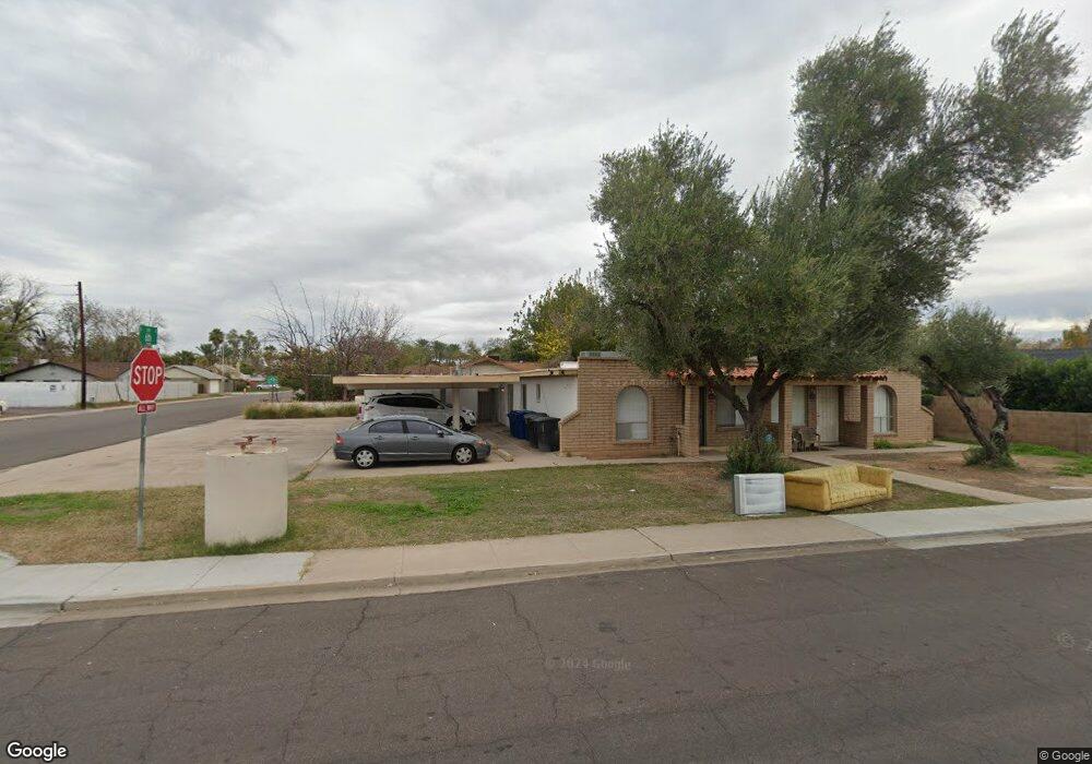
565 N Cherry Mesa, AZ 85201
Riverview NeighborhoodEstimated Value: $404,000 - $635,000
Studio
--
Bath
2,854
Sq Ft
$193/Sq Ft
Est. Value
About This Home
This home is located at 565 N Cherry, Mesa, AZ 85201 and is currently estimated at $550,297, approximately $192 per square foot. 565 N Cherry is a home located in Maricopa County with nearby schools including Franklin at Brimhall Elementary School, Emerson Elementary School, and Franklin West Elementary School.
Ownership History
Date
Name
Owned For
Owner Type
Purchase Details
Closed on
May 19, 2020
Sold by
Llcl 561 N Cherry Street
Bought by
Rowlye Cint and Rowlye Kim
Current Estimated Value
Purchase Details
Closed on
Jan 28, 2003
Sold by
Ar Shield 2 Llc
Bought by
Rowley Clint and Gunn Rowley Kimberly
Home Financials for this Owner
Home Financials are based on the most recent Mortgage that was taken out on this home.
Original Mortgage
$201,832
Interest Rate
5.97%
Mortgage Type
FHA
Purchase Details
Closed on
Oct 13, 1999
Sold by
Lum Phyllis and Lum P
Bought by
Heins Ralph C and Heins Ann L
Home Financials for this Owner
Home Financials are based on the most recent Mortgage that was taken out on this home.
Original Mortgage
$127,300
Interest Rate
7.82%
Mortgage Type
New Conventional
Create a Home Valuation Report for This Property
The Home Valuation Report is an in-depth analysis detailing your home's value as well as a comparison with similar homes in the area
Home Values in the Area
Average Home Value in this Area
Purchase History
| Date | Buyer | Sale Price | Title Company |
|---|---|---|---|
| Rowlye Cint | -- | Accommodation | |
| Rowley Clint | $205,000 | Lawyers Title Of Arizona Inc | |
| Heins Ralph C | $145,900 | Security Title Agency |
Source: Public Records
Mortgage History
| Date | Status | Borrower | Loan Amount |
|---|---|---|---|
| Previous Owner | Rowley Clint | $201,832 | |
| Previous Owner | Heins Ralph C | $127,300 |
Source: Public Records
Tax History
| Year | Tax Paid | Tax Assessment Tax Assessment Total Assessment is a certain percentage of the fair market value that is determined by local assessors to be the total taxable value of land and additions on the property. | Land | Improvement |
|---|---|---|---|---|
| 2025 | $1,339 | $13,576 | -- | -- |
| 2024 | $1,344 | $12,930 | -- | -- |
| 2023 | $1,344 | $45,850 | $9,170 | $36,680 |
| 2022 | $1,316 | $30,770 | $6,150 | $24,620 |
| 2021 | $1,332 | $26,830 | $5,360 | $21,470 |
| 2020 | $1,314 | $24,450 | $4,890 | $19,560 |
| 2019 | $1,228 | $20,960 | $4,190 | $16,770 |
| 2018 | $1,179 | $16,960 | $3,390 | $13,570 |
| 2017 | $1,144 | $15,330 | $3,060 | $12,270 |
| 2016 | $1,122 | $14,570 | $2,910 | $11,660 |
Source: Public Records
Map
Nearby Homes
- 455 W 5th Place
- 555 W University Dr
- 606 N Country Club Dr
- 453 W University Dr
- 837 N Revere Unit E
- 453 W 3rd Place
- 861 N Revere Unit E
- 805 N Westwood
- 921 W University Dr Unit 1030
- 921 W University Dr Unit 1232
- 1061 W 5th St
- 1051 W Dixon St
- 236 N Country Club Dr
- 1105 W 6th Place
- 141 N Date Unit 63
- 532 N Grand
- 923 N Country Club Dr
- 1027 N Revere
- 1042 W 9th Place
- 1134 W 2nd St
Your Personal Tour Guide
Ask me questions while you tour the home.