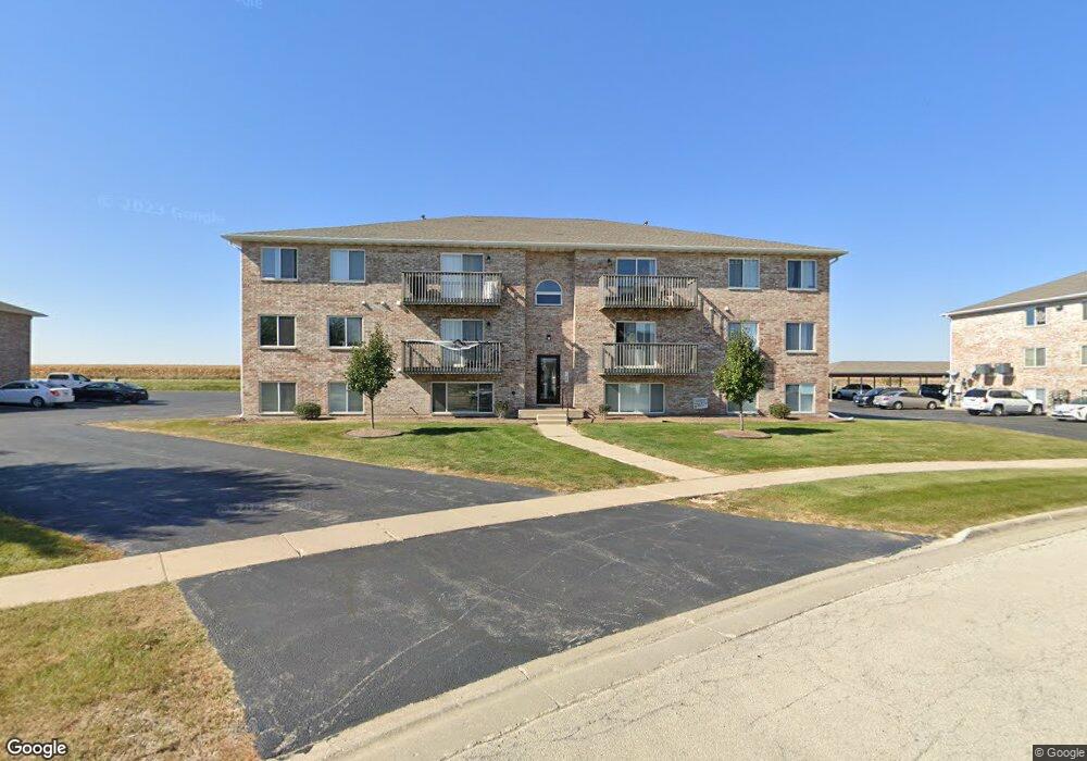
565 N Strack St Cortland, IL 60112
Estimated Value: $143,000 - $177,000
1
Bed
2
Baths
999
Sq Ft
$161/Sq Ft
Est. Value
About This Home
This home is located at 565 N Strack St, Cortland, IL 60112 and is currently estimated at $160,949, approximately $161 per square foot. 565 N Strack St is a home located in DeKalb County with nearby schools including Sycamore High School, St Mary's Catholic School, and Cornerstone Christian Academy.
Ownership History
Date
Name
Owned For
Owner Type
Purchase Details
Closed on
Feb 16, 2007
Sold by
Tsiftilis George
Bought by
Schoolfield Matthew
Current Estimated Value
Home Financials for this Owner
Home Financials are based on the most recent Mortgage that was taken out on this home.
Original Mortgage
$99,000
Outstanding Balance
$59,527
Interest Rate
6.23%
Mortgage Type
New Conventional
Estimated Equity
$101,422
Create a Home Valuation Report for This Property
The Home Valuation Report is an in-depth analysis detailing your home's value as well as a comparison with similar homes in the area
Home Values in the Area
Average Home Value in this Area
Purchase History
| Date | Buyer | Sale Price | Title Company |
|---|---|---|---|
| Schoolfield Matthew | $99,000 | -- |
Source: Public Records
Mortgage History
| Date | Status | Borrower | Loan Amount |
|---|---|---|---|
| Open | Schoolfield Matthew | $99,000 |
Source: Public Records
Tax History
| Year | Tax Paid | Tax Assessment Tax Assessment Total Assessment is a certain percentage of the fair market value that is determined by local assessors to be the total taxable value of land and additions on the property. | Land | Improvement |
|---|---|---|---|---|
| 2024 | $2,848 | $38,831 | $3,641 | $35,190 |
| 2023 | $2,800 | $36,328 | $3,406 | $32,922 |
| 2022 | $2,800 | $34,671 | $3,251 | $31,420 |
| 2021 | $2,643 | $33,010 | $3,095 | $29,915 |
| 2020 | $2,580 | $31,980 | $2,998 | $28,982 |
| 2019 | $2,462 | $30,638 | $2,872 | $27,766 |
| 2018 | $2,342 | $28,975 | $2,716 | $26,259 |
| 2017 | $2,249 | $27,585 | $2,586 | $24,999 |
| 2016 | $2,144 | $25,925 | $2,430 | $23,495 |
| 2015 | -- | $24,345 | $2,282 | $22,063 |
| 2014 | -- | $23,431 | $2,196 | $21,235 |
| 2013 | -- | $24,281 | $2,276 | $22,005 |
Source: Public Records
Map
Nearby Homes
- 475 N Charles St Unit 4
- 94 W Crabapple Ave
- 336 N Charles St
- 424 N Aspen Dr
- 360 N Charles St
- 324 N Blue Jay St
- 348 N Blue Jay St
- 347 N Aspen Dr
- 335 N Aspen Dr
- 329 N Aspen Dr
- LOT E7 W Bluebell Ave
- 20 W Sandalwood Ave
- 20 Sandalwood Ave
- 300 N Aspen Dr
- 95 Lots Chestnut Grove
- 103 E Daisy Ave
- TBD Pleasant St
- 1492 Waterside Dr Unit 1
- 1461 Waterside Dr
- 7PARCELS N Peace Rd
- 565 N Strack St Unit 303
- 565 N Strack St Unit 302
- 565 N Strack St
- 565 N Strack St
- 565 N Strack St Unit 203
- 565 N Strack St Unit 202
- 565 N Strack St
- 565 N Strack St Unit 104
- 565 N Strack St
- 565 N Strack St
- 565 N Strack St
- 575 N Strack St
- 575 N Strack St
- 575 N Strack St
- 575 N Strack St
- 575 N Strack St
- 575 N Strack St
- 575 N Strack St
- 575 N Strack St
- 575 N Strack St
Your Personal Tour Guide
Ask me questions while you tour the home.