565 Roy Dean Rd Buchanan, GA 30113
Estimated Value: $100,713 - $278,000
2
Beds
1
Bath
1,029
Sq Ft
$201/Sq Ft
Est. Value
About This Home
This home is located at 565 Roy Dean Rd, Buchanan, GA 30113 and is currently estimated at $206,428, approximately $200 per square foot. 565 Roy Dean Rd is a home located in Haralson County with nearby schools including Haralson County High School.
Ownership History
Date
Name
Owned For
Owner Type
Purchase Details
Closed on
Feb 23, 2018
Sold by
Buchli Tammy Hobbs
Bought by
Hobbs Sammy Andrew and Hobbs Deborah Kay
Current Estimated Value
Purchase Details
Closed on
Apr 2, 2010
Sold by
Hobbs Benjamin Franklin
Bought by
Buchli Tammy Hobbs
Purchase Details
Closed on
Jan 13, 1976
Sold by
Hobbs Hobbs B and Hobbs Christine
Bought by
Hobbs B F
Purchase Details
Closed on
Sep 1, 1969
Sold by
Gardiner W B
Bought by
Hobbs Hobbs B and Hobbs Christine
Create a Home Valuation Report for This Property
The Home Valuation Report is an in-depth analysis detailing your home's value as well as a comparison with similar homes in the area
Purchase History
| Date | Buyer | Sale Price | Title Company |
|---|---|---|---|
| Hobbs Sammy Andrew | -- | -- | |
| Buchli Tammy Hobbs | -- | -- | |
| Hobbs B F | -- | -- | |
| Hobbs Hobbs B | $5,000 | -- |
Source: Public Records
Tax History
| Year | Tax Paid | Tax Assessment Tax Assessment Total Assessment is a certain percentage of the fair market value that is determined by local assessors to be the total taxable value of land and additions on the property. | Land | Improvement |
|---|---|---|---|---|
| 2025 | $389 | $49,105 | $17,123 | $31,983 |
| 2024 | $389 | $14,997 | $5,955 | $9,042 |
| 2023 | $395 | $15,249 | $4,949 | $10,300 |
| 2022 | $351 | $13,107 | $4,949 | $8,158 |
| 2021 | $355 | $12,724 | $4,949 | $7,775 |
| 2020 | $374 | $13,314 | $4,949 | $8,365 |
| 2019 | $366 | $12,552 | $4,949 | $7,603 |
| 2018 | $371 | $12,552 | $4,949 | $7,603 |
| 2017 | $382 | $11,754 | $4,949 | $6,805 |
| 2016 | $472 | $15,408 | $4,398 | $11,010 |
| 2015 | $471 | $15,351 | $4,398 | $10,953 |
| 2014 | $470 | $15,557 | $4,398 | $11,158 |
Source: Public Records
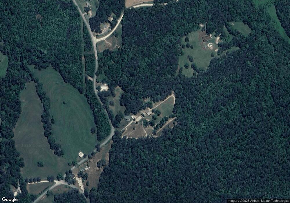
Map
Nearby Homes
- 1475 Ben Davis Rd
- 1470 Ben Davis Rd
- 73 Friendship Church Rd
- 0000 Corinth-Five Points Rd
- 262 Corinth-Five Points Rd
- 0 Corinth Five Points Rd Unit 10704513
- 1225 Coppermine Rd
- 327 Jeffers Rd
- 420 Ed Church Rd
- 62 Joe Rowell Rd
- 00 Coppermine Rd Trac #1
- 0 Hutcheson Road Off
- 5960 Georgia Highway 120
- 735 Seabreeze Lake Rd
- 731 Seabreeze Lake Rd
- 40 Cherokee Cir
- 6 Cherokee Cir
- 50 Dogwood Trail
- 33 Tolbert Rd
- 901 Tallapoosa East Church Rd
- 575 Roy Dean Rd
- 623 Roy Dean Rd
- 898 Ben Davis Rd
- 1011 Ben Davis Rd
- 838 Ben Davis Rd
- 701 Friendship Church Rd
- 701 Friendship Church Rd
- 554 Friendship Church Rd
- 594 Friendship Church Rd
- 66 Maple Ridge Ln
- 593 Friendship Church Rd
- 591 Friendship Church Rd
- 812 Friendship Church Rd
- 550 Ben Davis Rd
- 0 Roy Dean Rd Unit 24150079
- 0 Roy Dean Rd Unit 10564383
- 0 Roy Dean Rd Unit 13.94 acres 8812040
- 046.08 Roy Dean Rd
- 978 Friendship Church Rd
- 572 Friendship Church Rd
Your Personal Tour Guide
Ask me questions while you tour the home.