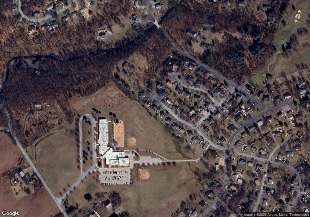
565 Sam Snead Cir Etters, PA 17319
Estimated Value: $324,000 - $349,000
3
Beds
3
Baths
1,860
Sq Ft
$182/Sq Ft
Est. Value
About This Home
This home is located at 565 Sam Snead Cir, Etters, PA 17319 and is currently estimated at $338,734, approximately $182 per square foot. 565 Sam Snead Cir is a home located in York County with nearby schools including Red Mill Elementary School, Crossroads Middle School, and Red Land Senior High School.
Ownership History
Date
Name
Owned For
Owner Type
Purchase Details
Closed on
Nov 14, 2002
Sold by
Condon Kirk D and Condon Lizabeth E
Bought by
Snerr Steven A and Snerr Jennifer E
Current Estimated Value
Purchase Details
Closed on
Nov 13, 1995
Bought by
Condon Kirk D and Condon Lizabeth E
Create a Home Valuation Report for This Property
The Home Valuation Report is an in-depth analysis detailing your home's value as well as a comparison with similar homes in the area
Home Values in the Area
Average Home Value in this Area
Purchase History
| Date | Buyer | Sale Price | Title Company |
|---|---|---|---|
| Snerr Steven A | $169,000 | -- | |
| Condon Kirk D | -- | -- |
Source: Public Records
Tax History Compared to Growth
Tax History
| Year | Tax Paid | Tax Assessment Tax Assessment Total Assessment is a certain percentage of the fair market value that is determined by local assessors to be the total taxable value of land and additions on the property. | Land | Improvement |
|---|---|---|---|---|
| 2025 | $4,646 | $167,710 | $38,230 | $129,480 |
| 2024 | $6,073 | $167,710 | $38,230 | $129,480 |
| 2023 | $4,153 | $167,710 | $38,230 | $129,480 |
| 2022 | $4,140 | $167,710 | $38,230 | $129,480 |
| 2021 | $3,902 | $167,710 | $38,230 | $129,480 |
| 2020 | $3,856 | $167,710 | $38,230 | $129,480 |
| 2019 | $3,757 | $167,710 | $38,230 | $129,480 |
| 2018 | $3,727 | $167,710 | $38,230 | $129,480 |
| 2017 | $3,627 | $167,710 | $38,230 | $129,480 |
| 2016 | $0 | $167,710 | $38,230 | $129,480 |
| 2015 | -- | $167,710 | $38,230 | $129,480 |
| 2014 | -- | $167,710 | $38,230 | $129,480 |
Source: Public Records
Map
Nearby Homes
- 30 Highland Cir
- 25 Mulligan Dr
- 25 Killinger Rd
- 10 Fargreen Ct Unit 1E
- 300 Juniper Dr
- 321 Juniper Dr
- 244 Juniper Dr
- 200 Juniper Dr
- 0 Vista Cir
- 28 White Dogwood Dr
- 60 S Ben Hogan Dr
- 73 Rose of Sharon Dr
- 60 Red Barberry Dr
- 2 Russian Olive Dr
- 45 Red Barberry Dr
- 24 Rose of Sharon Dr
- 21 N Conley Ln
- 44 N Conley Ln
- 17 Mall Rd
- 15 Winterberry Ln
- 555 Sam Snead Cir
- 575 Sam Snead Cir
- 545 Sam Snead Cir
- 560 Sam Snead Cir
- 570 Sam Snead Cir
- 550 Sam Snead Cir
- 585 Sam Snead Cir
- 535 Sam Snead Cir
- 580 Sam Snead Cir
- 590 Sam Snead Cir
- 540 Sam Snead Cir
- 25 Kohler Ln
- 35 Kohler Ln
- 525 Sam Snead Cir
- 15 Kohler Ln
- 245 Birdie Ln
- 45 Kohler Ln
- 515 Sam Snead Cir
- 5 Kohler Ln
- 235 Birdie Ln
