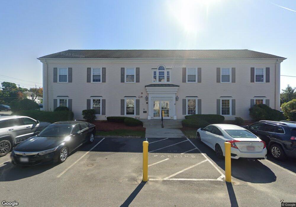
565 Turnpike St Unit 64 North Andover, MA 01845
Estimated Value: $270,958
--
Bed
--
Bath
994
Sq Ft
$273/Sq Ft
Est. Value
About This Home
This home is located at 565 Turnpike St Unit 64, North Andover, MA 01845 and is currently estimated at $270,958, approximately $272 per square foot. 565 Turnpike St Unit 64 is a home located in Essex County with nearby schools including Franklin Elementary School, North Andover Middle School, and North Andover High School.
Ownership History
Date
Name
Owned For
Owner Type
Purchase Details
Closed on
Oct 5, 2020
Sold by
Rissin Ft
Bought by
Magpie Realty Llc
Current Estimated Value
Purchase Details
Closed on
Feb 26, 2013
Sold by
Rissin Louis
Bought by
Rissin Ft
Purchase Details
Closed on
Sep 30, 1991
Sold by
Mercho Invest Corp
Bought by
Rissin Louis
Home Financials for this Owner
Home Financials are based on the most recent Mortgage that was taken out on this home.
Original Mortgage
$65,000
Interest Rate
9.1%
Mortgage Type
Commercial
Create a Home Valuation Report for This Property
The Home Valuation Report is an in-depth analysis detailing your home's value as well as a comparison with similar homes in the area
Home Values in the Area
Average Home Value in this Area
Purchase History
| Date | Buyer | Sale Price | Title Company |
|---|---|---|---|
| Magpie Realty Llc | $190,000 | None Available | |
| Rissin Ft | -- | -- | |
| Rissin Louis | $92,500 | -- |
Source: Public Records
Mortgage History
| Date | Status | Borrower | Loan Amount |
|---|---|---|---|
| Previous Owner | Rissin Louis | $65,000 |
Source: Public Records
Tax History Compared to Growth
Tax History
| Year | Tax Paid | Tax Assessment Tax Assessment Total Assessment is a certain percentage of the fair market value that is determined by local assessors to be the total taxable value of land and additions on the property. | Land | Improvement |
|---|---|---|---|---|
| 2025 | $2,300 | $145,400 | $0 | $145,400 |
| 2024 | $2,228 | $142,800 | $0 | $142,800 |
| 2023 | $2,750 | $159,400 | $0 | $159,400 |
| 2022 | $3,087 | $164,800 | $0 | $164,800 |
| 2021 | $2,805 | $145,400 | $0 | $145,400 |
| 2020 | $2,694 | $145,400 | $0 | $145,400 |
| 2019 | $2,789 | $145,400 | $0 | $145,400 |
| 2018 | $3,103 | $145,400 | $0 | $145,400 |
| 2017 | $3,110 | $152,100 | $0 | $152,100 |
| 2016 | $3,459 | $169,000 | $0 | $169,000 |
| 2015 | $3,003 | $148,000 | $0 | $148,000 |
Source: Public Records
Map
Nearby Homes
- 124 Hillside Rd
- 204 Chestnut St
- 34 Rosemont Dr
- 180 Chestnut St
- 58 Berkeley Rd
- 80 Sandra Ln
- 174 Chestnut St Unit 14
- 495 Johnson St
- 7 Heather Dr
- 74 Hewitt Ave
- 105 Elm St Unit A
- 316 Johnson St
- 170 Haverhill St Unit 138
- 1 Longwood Dr Unit 105
- 13 Kingston St Unit 94
- 50 A Whittier St Unit 1
- 7 Kingston St
- 61 Elm St Unit 61
- 26 Woodberry Ln
- 156 High St
- 565 Turnpike St Unit 65
- 565 Turnpike St Unit 76A
- 565 Turnpike St Unit 63-B2
- 565 Turnpike St Unit 63-B1
- 565 Turnpike St Unit 66
- 565 Turnpike St Unit 61
- 565 Turnpike St Unit 63-A
- 565 Turnpike St Unit 73
- 565 Turnpike St Unit 71
- 565 Turnpike St Unit 72
- 565 Turnpike St Unit 84
- 565 Turnpike St Unit 86 & 87
- 565 Turnpike St Unit 62
- 565 Turnpike St
- 565 Turnpike St Unit 80
- 565 Turnpike St Unit 77
- 565 Turnpike St Unit 75
- 555 Turnpike St Unit 47
- 555 Turnpike St Unit 41
- 575 Turnpike St Unit 15A