5651 E Commodore Dr Port Clinton, OH 43452
Estimated Value: $407,072 - $474,000
1
Bed
2
Baths
1,525
Sq Ft
$290/Sq Ft
Est. Value
About This Home
This home is located at 5651 E Commodore Dr, Port Clinton, OH 43452 and is currently estimated at $442,018, approximately $289 per square foot. 5651 E Commodore Dr is a home located in Ottawa County with nearby schools including Bataan Memorial Primary School, Bataan Memorial Intermediate School, and Port Clinton Middle School.
Ownership History
Date
Name
Owned For
Owner Type
Purchase Details
Closed on
May 9, 1996
Sold by
Gasper Barbara E
Bought by
Corsillo Judith L and Corsillo Joseph S
Current Estimated Value
Purchase Details
Closed on
Aug 7, 1992
Sold by
Erben Marian E
Bought by
Erben Marian E
Purchase Details
Closed on
Mar 12, 1992
Sold by
Erben Edward C and Erben Marian E
Bought by
Erben Marian E
Create a Home Valuation Report for This Property
The Home Valuation Report is an in-depth analysis detailing your home's value as well as a comparison with similar homes in the area
Home Values in the Area
Average Home Value in this Area
Purchase History
| Date | Buyer | Sale Price | Title Company |
|---|---|---|---|
| Corsillo Judith L | $74,573 | -- | |
| Erben Marian E | -- | -- | |
| Erben Marian E | -- | -- |
Source: Public Records
Tax History Compared to Growth
Tax History
| Year | Tax Paid | Tax Assessment Tax Assessment Total Assessment is a certain percentage of the fair market value that is determined by local assessors to be the total taxable value of land and additions on the property. | Land | Improvement |
|---|---|---|---|---|
| 2024 | $3,395 | $104,699 | $49,840 | $54,859 |
| 2023 | $3,395 | $89,874 | $41,535 | $48,339 |
| 2022 | $3,202 | $89,874 | $41,535 | $48,339 |
| 2021 | $3,196 | $89,870 | $41,530 | $48,340 |
| 2020 | $3,133 | $84,740 | $34,610 | $50,130 |
| 2019 | $3,102 | $84,740 | $34,610 | $50,130 |
| 2018 | $3,299 | $84,740 | $34,610 | $50,130 |
| 2017 | $3,293 | $83,370 | $34,610 | $48,760 |
| 2016 | $3,301 | $83,370 | $34,610 | $48,760 |
| 2015 | $3,318 | $83,370 | $34,610 | $48,760 |
| 2014 | $1,129 | $56,220 | $17,910 | $38,310 |
| 2013 | $2,346 | $58,480 | $20,170 | $38,310 |
Source: Public Records
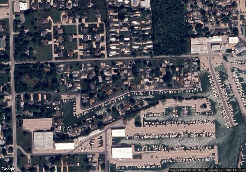
Map
Nearby Homes
- 2970 N Swift Dr
- 3046 N Searay Dr
- 5411 E Channel Dr
- 2822 N Noreaster Cove Dr
- 2888 N Coho Dr
- 2629 NE Catawba Rd
- 2734 NE Catawba Rd
- 5601 E Pittsburgh St
- 5510 E Center Ln
- 5475 E Mabel Dr
- 2914 N Perch Row
- 3575 NE Catawba Rd Unit 29
- 3575 NE Catawba Rd Unit 5
- 2901 Villa Ct Unit C
- 4862 Tradewinds Dr
- 2750 Canterbury Cir Unit C
- 2769 Canterbury Cir
- 2769 N Canterbury Cir Unit B
- 2591 N Torino Dr
- 2855 N Canterbury Cir Unit A
- 5635 E Commodore Dr
- 5671 E Commodore Dr
- 2958 N Mallard Dr
- 2969 N Mallard Dr
- 2220 Commodore Ct
- 5685 E Commodore Dr
- 5615 E Commodore Dr
- 2958 N Hawk Dr
- 2982 N Mallard Dr
- 2934 N Hawk Dr
- 5630 E Skipper Dr
- 5667 E Eagle Dr
- 5663 E Eagle Dr
- 5670 E Skipper Dr
- 2970 N Hawk Dr
- 2970 N Hawk Dr
- 5693 E Eagle Dr
- 5683 E Eagle Dr
- 2957 N Heron Dr
- 5624 E Skipper Dr