5654 S Allen Rd Cochranton, PA 16314
Estimated Value: $81,000 - $256,000
--
Bed
--
Bath
--
Sq Ft
4.5
Acres
About This Home
This home is located at 5654 S Allen Rd, Cochranton, PA 16314 and is currently estimated at $134,137. 5654 S Allen Rd is a home with nearby schools including Cochranton Elementary School, Cochranton Junior/Senior High School, and Melody Echoes School.
Ownership History
Date
Name
Owned For
Owner Type
Purchase Details
Closed on
Jun 26, 2024
Sold by
Roney Elizabeth R and Roney Randal J
Bought by
Armstrong David E and Armstrong Tammy R
Current Estimated Value
Purchase Details
Closed on
Jun 9, 2017
Sold by
Nimeth William L and Nemeth Bobbie Jo
Bought by
Roney Randal J and Armstrong Elizabeth R
Home Financials for this Owner
Home Financials are based on the most recent Mortgage that was taken out on this home.
Original Mortgage
$56,300
Interest Rate
4.05%
Mortgage Type
Future Advance Clause Open End Mortgage
Create a Home Valuation Report for This Property
The Home Valuation Report is an in-depth analysis detailing your home's value as well as a comparison with similar homes in the area
Home Values in the Area
Average Home Value in this Area
Purchase History
| Date | Buyer | Sale Price | Title Company |
|---|---|---|---|
| Armstrong David E | $100,000 | None Listed On Document | |
| Roney Randal J | $50,000 | None Available |
Source: Public Records
Mortgage History
| Date | Status | Borrower | Loan Amount |
|---|---|---|---|
| Previous Owner | Roney Randal J | $56,300 |
Source: Public Records
Tax History Compared to Growth
Tax History
| Year | Tax Paid | Tax Assessment Tax Assessment Total Assessment is a certain percentage of the fair market value that is determined by local assessors to be the total taxable value of land and additions on the property. | Land | Improvement |
|---|---|---|---|---|
| 2025 | $521 | $18,042 | $1,350 | $16,692 |
| 2024 | $755 | $18,042 | $1,350 | $16,692 |
| 2023 | $755 | $18,042 | $1,350 | $16,692 |
| 2022 | $1,503 | $18,042 | $1,350 | $16,692 |
| 2021 | $1,470 | $18,042 | $1,350 | $16,692 |
| 2020 | $1,470 | $18,042 | $1,350 | $16,692 |
| 2019 | $1,289 | $15,826 | $1,350 | $14,476 |
| 2018 | $1,055 | $13,577 | $1,350 | $12,227 |
| 2017 | $388 | $5,050 | $1,350 | $3,700 |
| 2016 | $663 | $25,650 | $1,350 | $24,300 |
| 2015 | $663 | $25,650 | $1,350 | $24,300 |
| 2014 | -- | $25,650 | $1,350 | $24,300 |
Source: Public Records
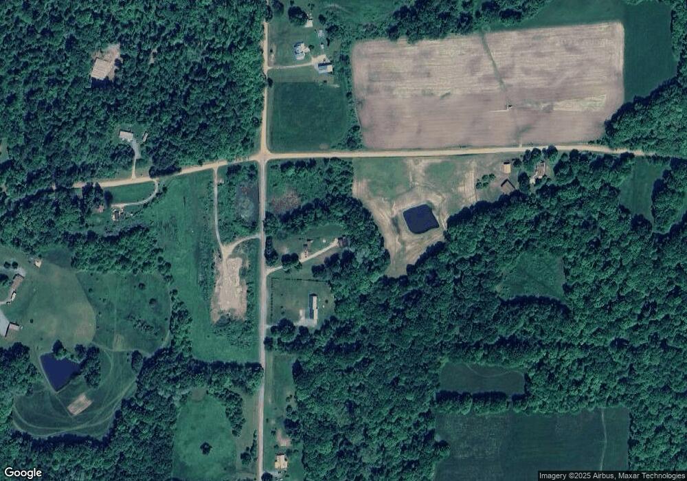
Map
Nearby Homes
- Deckard's Run Rd and Judson Rd
- 0 Deckards Run Rd and Judson Rd Unit 11536704
- 4129 Pine Dr
- 00 Deckards Run Rd
- 179 S Franklin St
- 119 W Pine St
- 315 Long Rd
- 23755 State Highway 285
- 0 Donation Hill Rd Unit 24033249
- 23078 Mallard Ln
- 16 Blair Ln
- 236 Rice Rd
- 0 Pettis Rd Unit 187939
- 8883 Luce Rd
- 6528 Mccracken Rd
- 283 Wilsey Rd
- 21412 Shick Dr
- 9685 Pettis Rd
- 24155 State Route 27
- 0 Pennsylvania 427
- 5480 S Allen Rd
- 27557 Drake Hill Rd
- 27472 Drake Hill Rd
- 27397 Deeter Rd
- 5683 Mcdaniel Rd
- 27332 Deckards Rd
- 5482 Bell Rd
- 27263 Deeter Rd
- 27496 Deckards Rd
- 27443 Deckards Rd
- 27167 Deeter Rd
- 27524 Deckards Rd
- 27214 Deeter Rd
- 27214 Deeter Rd
- 5109 Bell Rd
- 27155 Deckards Rd
- 27089 Deckards Rd
- 27015 Deeter Rd
- 6255 Highway 173
- 6323 Highway 173