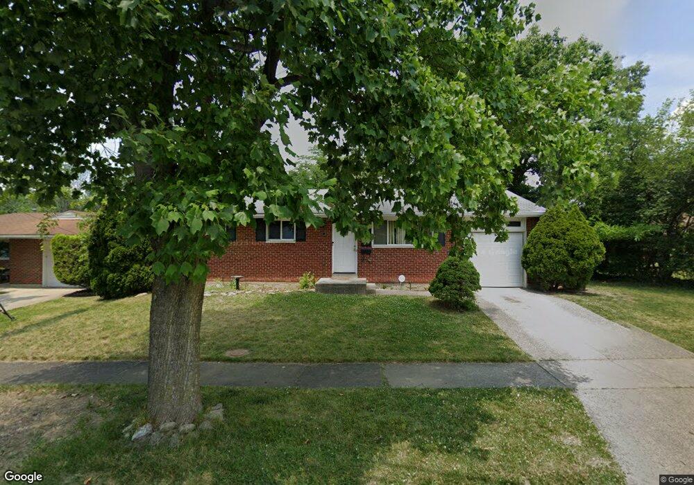
5655 Red Cedar Dr Cincinnati, OH 45224
College Hill NeighborhoodEstimated Value: $147,000 - $203,000
3
Beds
1
Bath
1,053
Sq Ft
$169/Sq Ft
Est. Value
About This Home
This home is located at 5655 Red Cedar Dr, Cincinnati, OH 45224 and is currently estimated at $177,982, approximately $169 per square foot. 5655 Red Cedar Dr is a home located in Hamilton County with nearby schools including Pleasant Hill Elementary School, Robert A. Taft Information Technology High School, and Western Hills High School.
Ownership History
Date
Name
Owned For
Owner Type
Purchase Details
Closed on
Jul 24, 1998
Sold by
Barnes Maceo C and Barnes Lillian Ida M
Bought by
Thompson Kim L
Current Estimated Value
Home Financials for this Owner
Home Financials are based on the most recent Mortgage that was taken out on this home.
Original Mortgage
$62,500
Outstanding Balance
$11,792
Interest Rate
7.03%
Estimated Equity
$166,190
Create a Home Valuation Report for This Property
The Home Valuation Report is an in-depth analysis detailing your home's value as well as a comparison with similar homes in the area
Home Values in the Area
Average Home Value in this Area
Purchase History
| Date | Buyer | Sale Price | Title Company |
|---|---|---|---|
| Thompson Kim L | $64,000 | -- |
Source: Public Records
Mortgage History
| Date | Status | Borrower | Loan Amount |
|---|---|---|---|
| Open | Thompson Kim L | $62,500 |
Source: Public Records
Tax History
| Year | Tax Paid | Tax Assessment Tax Assessment Total Assessment is a certain percentage of the fair market value that is determined by local assessors to be the total taxable value of land and additions on the property. | Land | Improvement |
|---|---|---|---|---|
| 2025 | $2,993 | $46,900 | $12,880 | $34,020 |
| 2023 | $2,994 | $46,900 | $12,880 | $34,020 |
| 2022 | $2,214 | $31,102 | $10,490 | $20,612 |
| 2021 | $2,170 | $31,102 | $10,490 | $20,612 |
| 2020 | $2,176 | $31,102 | $10,490 | $20,612 |
| 2019 | $2,097 | $27,283 | $9,202 | $18,081 |
| 2018 | $2,099 | $27,283 | $9,202 | $18,081 |
| 2017 | $2,021 | $27,283 | $9,202 | $18,081 |
| 2016 | $2,246 | $29,597 | $9,818 | $19,779 |
| 2015 | $2,009 | $29,597 | $9,818 | $19,779 |
| 2014 | $2,019 | $29,597 | $9,818 | $19,779 |
| 2013 | $2,116 | $30,513 | $10,122 | $20,391 |
Source: Public Records
Map
Nearby Homes
- 5679 Folchi Dr
- 5441 Lanius Ln
- 1140 Cedar Ave
- 5773 Lantana Ave
- 5510 Hamilton Ave
- 5940 Kenneth Ave
- 1620 Linden Dr
- 5825 Salvia Ave
- 1197 Toluca Ct
- 1649 Larch Ave
- 5974 Sunridge Dr
- 6101 Capri Dr
- 939 Venetian Terrace
- 6000 Capri Dr
- 6024 Sunridge Dr
- 6071 Lantana Ave
- 5723 Nahant Ave
- 6145 Sunridge Dr
- 5751 Belmont Ave
- 6629 Charann Ln
- 5651 Red Cedar Dr
- 5611 Leafwood Dr
- 5605 Leafwood Dr
- 5647 Red Cedar Dr
- 5619 Leafwood Dr
- 5658 Red Cedar Dr
- 5654 Red Cedar Dr
- 5648 Red Cedar Dr
- 5595 Leafwood Dr
- 5604 Leafwood Dr
- 5642 Red Cedar Dr
- 5623 Leafwood Dr
- 5610 Leafwood Dr
- 5585 Leafwood Dr
- 5614 Leafwood Dr
- 5639 Red Cedar Dr
- 5577 Leafwood Dr
- 5638 Red Cedar Dr
- 5618 Leafwood Dr
- 5571 Leafwood Dr
Your Personal Tour Guide
Ask me questions while you tour the home.