5655 W Mallory Rd Rathdrum, ID 83858
Estimated Value: $586,000 - $1,028,000
2
Beds
2
Baths
1,199
Sq Ft
$677/Sq Ft
Est. Value
About This Home
This home is located at 5655 W Mallory Rd, Rathdrum, ID 83858 and is currently estimated at $811,209, approximately $676 per square foot. 5655 W Mallory Rd is a home with nearby schools including Garwood Elementary School, Lakeland Middle School, and Lakeland Senior High School.
Ownership History
Date
Name
Owned For
Owner Type
Purchase Details
Closed on
Feb 19, 2014
Sold by
Schorzman Sammi Lynn
Bought by
Schorzman Carey L
Current Estimated Value
Purchase Details
Closed on
Jul 11, 2006
Sold by
Harn Ada Lee
Bought by
Schorzman Carey L
Home Financials for this Owner
Home Financials are based on the most recent Mortgage that was taken out on this home.
Original Mortgage
$195,000
Outstanding Balance
$115,220
Interest Rate
6.66%
Mortgage Type
New Conventional
Estimated Equity
$695,989
Create a Home Valuation Report for This Property
The Home Valuation Report is an in-depth analysis detailing your home's value as well as a comparison with similar homes in the area
Home Values in the Area
Average Home Value in this Area
Purchase History
| Date | Buyer | Sale Price | Title Company |
|---|---|---|---|
| Schorzman Carey L | -- | First American Title Kootena | |
| Schorzman Carey L | -- | -- |
Source: Public Records
Mortgage History
| Date | Status | Borrower | Loan Amount |
|---|---|---|---|
| Open | Schorzman Carey L | $195,000 |
Source: Public Records
Tax History Compared to Growth
Tax History
| Year | Tax Paid | Tax Assessment Tax Assessment Total Assessment is a certain percentage of the fair market value that is determined by local assessors to be the total taxable value of land and additions on the property. | Land | Improvement |
|---|---|---|---|---|
| 2025 | $2,106 | $757,408 | $271,108 | $486,300 |
| 2024 | $2,106 | $700,009 | $271,189 | $428,820 |
| 2023 | $2,106 | $730,029 | $301,209 | $428,820 |
| 2022 | $2,499 | $732,429 | $303,609 | $428,820 |
| 2021 | $2,480 | $475,418 | $173,928 | $301,490 |
| 2020 | $2,471 | $399,958 | $129,108 | $270,850 |
| 2019 | $2,694 | $385,098 | $132,798 | $252,300 |
| 2018 | $2,780 | $358,918 | $126,528 | $232,390 |
| 2017 | $2,624 | $342,666 | $115,466 | $227,200 |
| 2016 | $2,354 | $325,265 | $108,605 | $216,660 |
| 2015 | $2,162 | $231,683 | $16,913 | $214,770 |
| 2013 | $1,474 | $214,400 | $62,650 | $151,750 |
Source: Public Records
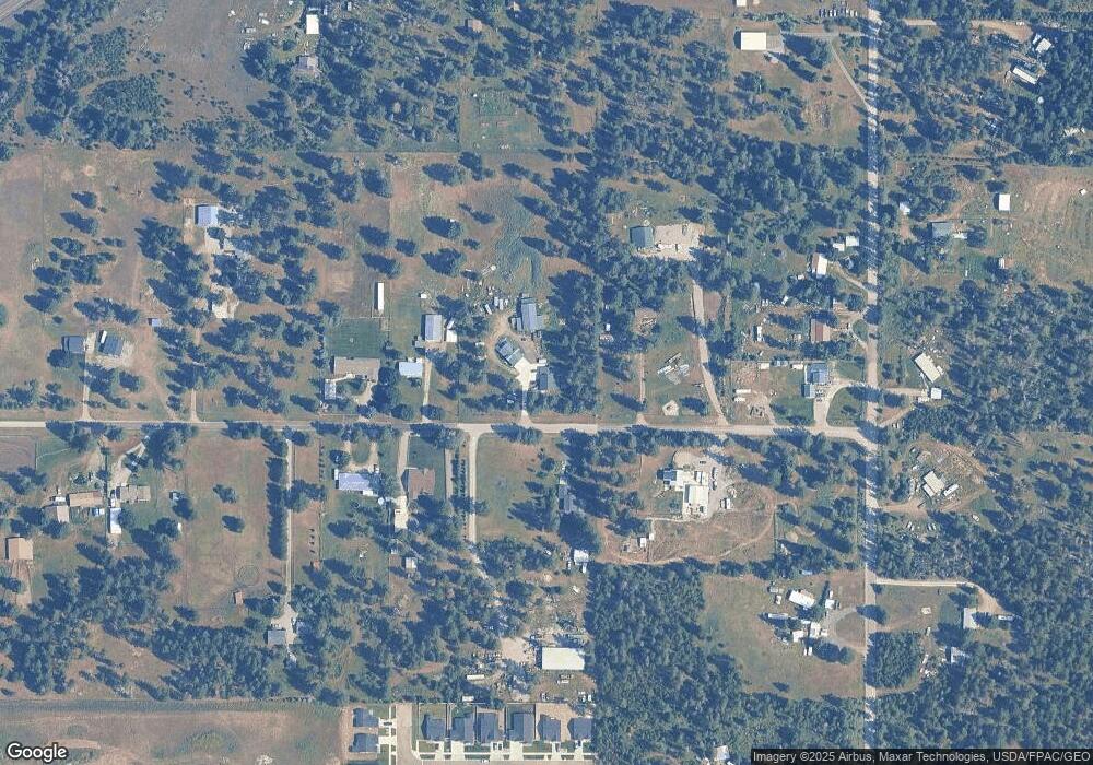
Map
Nearby Homes
- 6179 Pelican Loop
- 6139 Pelican Loop
- 6133 Pelican Loop
- 6115 Pelican Loop
- 6096 Pelican Loop
- 6093 Pelican Loop
- 6078 Pelican Loop
- 6073 Pelican Loop
- 6051 Pelican Loop
- 6033 Pelican Loop
- 6004 Pelican Loop
- 5980 Pelican Loop
- 5973 Pelican Loop
- 5955 Pelican Loop
- 5945 Pelican Loop
- 5939 Pelican Loop
- 5901 Pelican Loop
- Prairie View Plan at Westwood Pines
- Cambridge 1662 Plan at Westwood Pines
- Cambridge 1416 Plan at Westwood Pines
- 5725 W Mallory Rd
- 5565 W Mallory Rd
- 5630 W Mallory Rd
- 5717 W Mallory Rd
- 5500 W Mallory Rd
- 5740 W Mallory Rd
- 5785 W Mallory Rd
- 5762 W Mallory Rd
- 16673 N Trails End Rd
- 16745 N Trails End Rd
- 16781 N Trails End Rd
- 16527 N Trails End Rd
- 5901 W Mallory Rd
- 16684 N Trails End Rd
- 5688 W Krieg Rd
- 5828 W Mallory Rd
- 16907 N Trails End Rd
- 16907 N Trails End Rd
- 0 N Trails End Rd
- 16596 N Trails End Rd