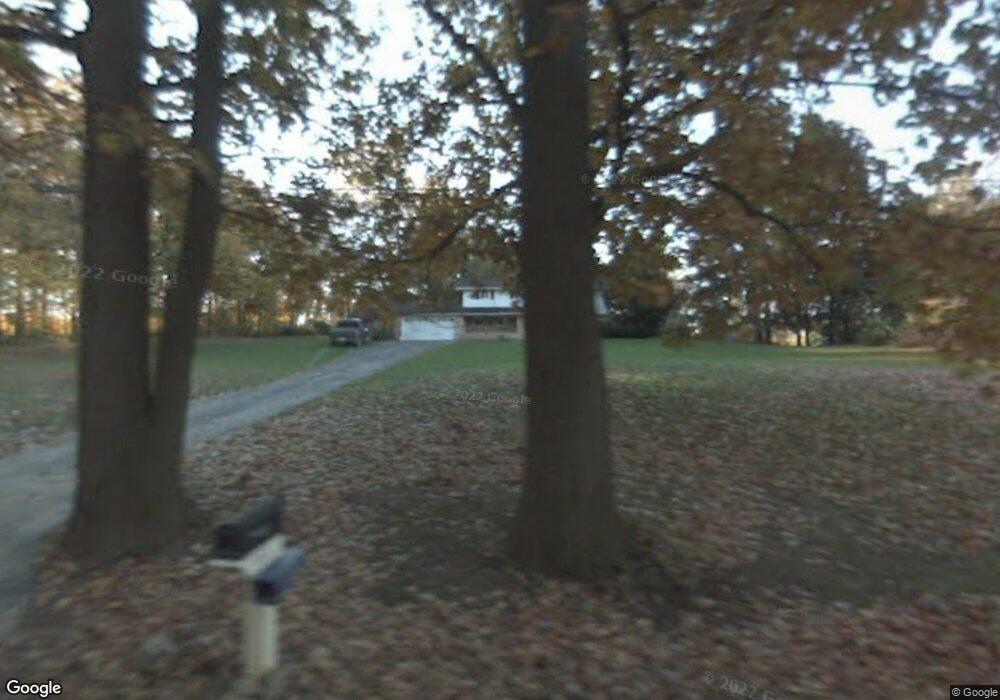
5655 W Stoll Rd Lansing, MI 48906
Estimated Value: $332,443 - $377,000
3
Beds
3
Baths
1,945
Sq Ft
$182/Sq Ft
Est. Value
About This Home
This home is located at 5655 W Stoll Rd, Lansing, MI 48906 and is currently estimated at $353,111, approximately $181 per square foot. 5655 W Stoll Rd is a home located in Clinton County with nearby schools including Waverly Senior High School.
Ownership History
Date
Name
Owned For
Owner Type
Purchase Details
Closed on
Nov 1, 2016
Sold by
Sivaraman Narayanan and Sivaraman Donna J
Bought by
Sivraraman Narayanan and Sivaraman Lisa K
Current Estimated Value
Create a Home Valuation Report for This Property
The Home Valuation Report is an in-depth analysis detailing your home's value as well as a comparison with similar homes in the area
Home Values in the Area
Average Home Value in this Area
Purchase History
| Date | Buyer | Sale Price | Title Company |
|---|---|---|---|
| Sivraraman Narayanan | -- | Michigan Investment Title In |
Source: Public Records
Tax History Compared to Growth
Tax History
| Year | Tax Paid | Tax Assessment Tax Assessment Total Assessment is a certain percentage of the fair market value that is determined by local assessors to be the total taxable value of land and additions on the property. | Land | Improvement |
|---|---|---|---|---|
| 2025 | $4,143 | $142,950 | $27,400 | $115,550 |
| 2024 | $1,242 | $133,750 | $24,850 | $108,900 |
| 2023 | $1,176 | $123,150 | $0 | $0 |
| 2022 | $3,772 | $112,400 | $19,950 | $92,450 |
| 2021 | $3,706 | $109,800 | $20,000 | $89,800 |
| 2020 | $3,633 | $104,300 | $18,650 | $85,650 |
| 2019 | $3,550 | $98,300 | $17,600 | $80,700 |
| 2018 | $3,445 | $97,350 | $16,650 | $80,700 |
| 2017 | $3,376 | $94,900 | $16,500 | $78,400 |
| 2016 | $3,376 | $92,450 | $15,600 | $76,850 |
| 2015 | $3,294 | $85,100 | $0 | $0 |
| 2011 | -- | $88,700 | $0 | $0 |
Source: Public Records
Map
Nearby Homes
- 6157 W Stoll Rd
- 15250 Nottingham Fields Pkwy
- 15260 Nottingham Fields Pkwy
- 15240 Nottingham Fields Pkwy
- 15332 Sherwood Ln
- 15312 Sherwood Ln
- 15292 Sherwood Ln
- 15347 Sherwood Ln
- 15317 Sherwood Ln
- V/L N Grove
- 15080 Loxley Ln Unit 21
- 15277 Sherwood Ln
- 15895 Turnberry St
- Lot 3a Rachael Fairfax Dr
- Lot 1a Rachael Fairfax Dr
- 7837 W Grand
- 00 Driftwood Dr
- 0 Driftwood Dr
- V/L W State Rd
- 5754 River Ridge Dr
- 5699 W Stoll Rd
- 5621 W Stoll Rd
- 5601 W Stoll Rd
- 5585 W Stoll Rd
- 5639 W Stoll Rd
- 5793 W Stoll Rd
- 5555 W Stoll Rd
- 5810 W Stoll Rd
- 5650 W Stoll Rd
- 5570 W Stoll Rd
- 5544 W Stoll Rd
- 7776 W Stoll Rd
- 5359 W Stoll Rd
- 5360 W Stoll Rd
- 5347 W Stoll Rd
- 5326 W Stoll Rd
- 5975 W Stoll Rd
- 5339 W Stoll Rd
- 0 S Lowell Rd
- 15275 S Lowell Rd