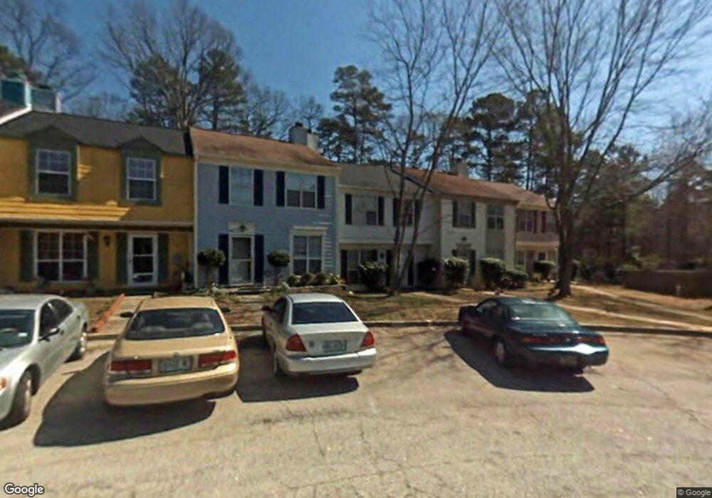
5655 Wells Cir Stone Mountain, GA 30087
Estimated Value: $165,000 - $176,204
3
Beds
3
Baths
1,160
Sq Ft
$148/Sq Ft
Est. Value
About This Home
This home is located at 5655 Wells Cir, Stone Mountain, GA 30087 and is currently estimated at $171,301, approximately $147 per square foot. 5655 Wells Cir is a home located in DeKalb County with nearby schools including Shadow Rock Elementary School, Redan Middle School, and Redan High School.
Ownership History
Date
Name
Owned For
Owner Type
Purchase Details
Closed on
Nov 30, 1999
Sold by
Clark Howard L
Bought by
Baker Shawnda
Current Estimated Value
Home Financials for this Owner
Home Financials are based on the most recent Mortgage that was taken out on this home.
Original Mortgage
$69,427
Outstanding Balance
$21,584
Interest Rate
7.99%
Mortgage Type
FHA
Estimated Equity
$149,717
Create a Home Valuation Report for This Property
The Home Valuation Report is an in-depth analysis detailing your home's value as well as a comparison with similar homes in the area
Home Values in the Area
Average Home Value in this Area
Purchase History
| Date | Buyer | Sale Price | Title Company |
|---|---|---|---|
| Baker Shawnda | $70,000 | -- |
Source: Public Records
Mortgage History
| Date | Status | Borrower | Loan Amount |
|---|---|---|---|
| Open | Baker Shawnda | $69,427 |
Source: Public Records
Tax History Compared to Growth
Tax History
| Year | Tax Paid | Tax Assessment Tax Assessment Total Assessment is a certain percentage of the fair market value that is determined by local assessors to be the total taxable value of land and additions on the property. | Land | Improvement |
|---|---|---|---|---|
| 2025 | $2,415 | $73,400 | $10,000 | $63,400 |
| 2024 | $2,479 | $71,960 | $10,000 | $61,960 |
| 2023 | $2,479 | $62,120 | $10,000 | $52,120 |
| 2022 | $1,573 | $47,520 | $6,400 | $41,120 |
| 2021 | $1,231 | $37,560 | $6,400 | $31,160 |
| 2020 | $1,027 | $31,520 | $6,400 | $25,120 |
| 2019 | $960 | $29,800 | $6,400 | $23,400 |
| 2018 | $569 | $21,920 | $4,000 | $17,920 |
| 2017 | $426 | $14,000 | $4,000 | $10,000 |
| 2016 | $540 | $17,520 | $1,920 | $15,600 |
| 2014 | $347 | $7,160 | $1,920 | $5,240 |
Source: Public Records
Map
Nearby Homes
- 5651 Wells Cir
- 5691 Wells Cir
- 5707 Wells Cir
- 5621 Stonington Trace Pkwy
- 5618 Stonington Trace Pkwy
- 5597 Stonington Trace Pkwy
- 5582 Stonington Trace Pkwy
- 447 Sherwood Cir
- 5694 Southland Dr
- 5802 Simone Dr Unit 4
- 556 Antietam Dr Unit 8
- 743 Mountain Meadow Walk
- 690 Gateway Ct Unit 1
- 641 Olde Ivy Way
- 5856 Oakleaf Dr
- 644 Navarre Dr Unit 4
- 432 Rock Meadow Dr
- 400 Palmer Dr
- 5476 Old Rockbridge Rd
- 758 S Stone Mountain Lithonia Rd
- 5653 Wells Cir
- 5653 Wells Cir Unit 5653
- 5657 Wells Cir
- 5659 Wells Cir
- 5645 Wells Cir
- 5645 Wells Cir Unit 5645
- 5661 Wells Cir
- 5663 Wells Cir
- 5643 Wells Cir
- 5665 Wells Cir
- 5641 Wells Cir
- 581 Old Friar Tuck Ln
- 573 Old Friar Tuck Ln
- 5639 Wells Cir
- 5667 Wells Cir
- 5637 Wells Cir
- 5669 Wells Cir
- 5635 Wells Cir
- 5660 Wells Cir
- 5671 Wells Cir