Estimated Value: $255,000 - $281,000
About This Home
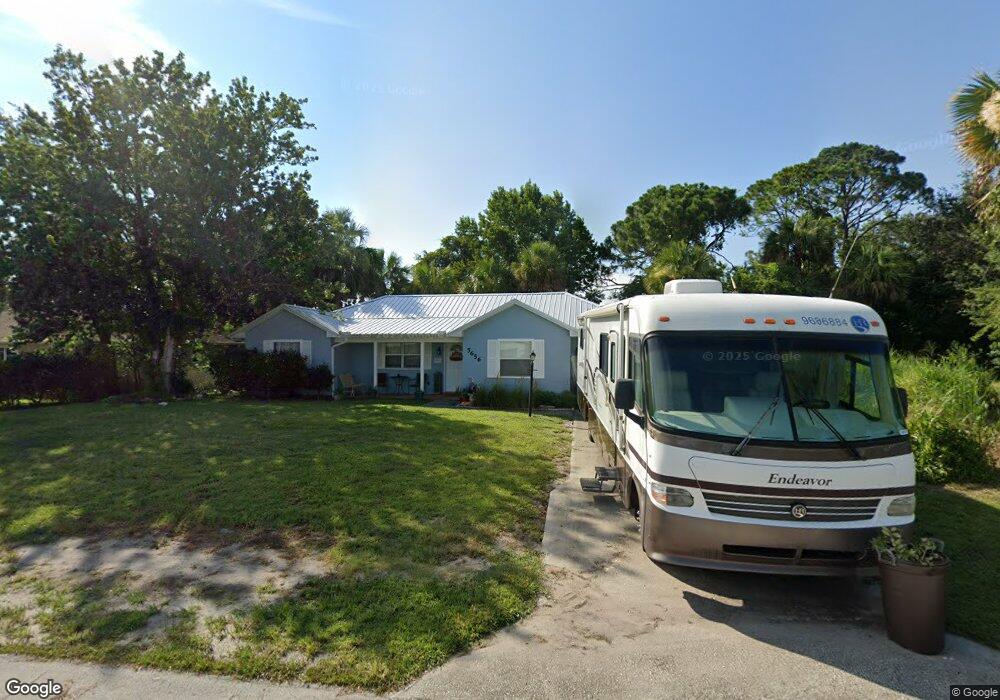
This home is located at 5656 Flint Rd, Cocoa, FL 32927 and is currently estimated at $266,805, approximately $241 per square foot. 5656 Flint Rd is a home located in Brevard County with nearby schools including Enterprise Elementary School, Space Coast Junior/Senior High School, and East Atlantic Prep of Brevard County.
Ownership History
We collect this data history from publicly available records. To have your information removed, we recommend requesting removal directly through your county’s website.
Purchase Details
Purchase Details
Purchase Details
Home Values in the Area
Average Home Value in this Area
Purchase History
We collect this data history from publicly available records. To have your information removed, we recommend requesting removal directly through your county’s website.
| Date | Buyer | Sale Price | Title Company |
|---|---|---|---|
| $100 | None Listed On Document | ||
| $100 | None Listed On Document | ||
| -- | Glow Title & Escrow | ||
| $11,500 | -- |
Tax History
We collect this data history from publicly available records. To have your information removed, we recommend requesting removal directly through your county’s website.
| Year | Tax Paid | Tax Assessment Tax Assessment Total Assessment is a certain percentage of the fair market value that is determined by local assessors to be the total taxable value of land and additions on the property. | Land | Improvement |
|---|---|---|---|---|
| 2025 | $1,005 | $71,520 | -- | -- |
| 2024 | $985 | $69,510 | -- | -- |
| 2023 | $985 | $67,490 | $0 | $0 |
| 2022 | $933 | $65,530 | $0 | $0 |
| 2021 | $934 | $63,630 | $0 | $0 |
| 2020 | $889 | $62,760 | $0 | $0 |
| 2019 | $836 | $61,350 | $0 | $0 |
| 2018 | $837 | $60,210 | $0 | $0 |
| 2017 | $837 | $58,980 | $0 | $0 |
| 2016 | $844 | $57,770 | $18,000 | $39,770 |
| 2015 | $849 | $57,370 | $15,000 | $42,370 |
| 2014 | $854 | $56,920 | $11,000 | $45,920 |
Map
- 5614 Jamaica Rd
- 5687 Holden Rd
- 6438 Hudson Rd
- 5685 Beaverbrook St
- 5540 Carrick Rd
- 5946 Deer Ln
- No Access W
- 6460 Irving Rd
- 5525 Fairbridge St
- 0 Aruin St Unit 1222557
- 5945 Coker Ave
- 5530 Fairbridge St
- 5424 Flint Rd
- 23-35-21-JX-B-2 Aruin St
- 6442 Fairchild Ave
- 5870 Logan Ave
- 5975 Aruin St
- 5920 Keystone Ave
- 6570 Bancroft Ave
- 6574 Haven Ave
Ask me questions while you tour the home.