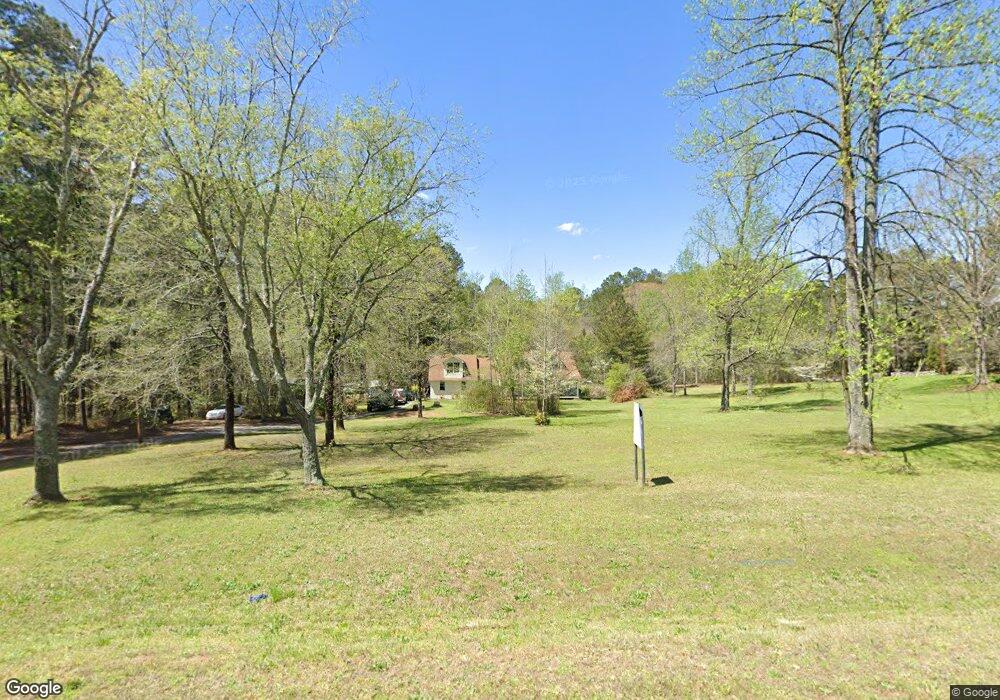
5656 Highway 81 Loganville, GA 30052
Estimated Value: $360,000 - $455,000
3
Beds
3
Baths
1,977
Sq Ft
$204/Sq Ft
Est. Value
About This Home
This home is located at 5656 Highway 81, Loganville, GA 30052 and is currently estimated at $403,269, approximately $203 per square foot. 5656 Highway 81 is a home located in Walton County with nearby schools including Loganville Elementary School, Loganville Middle School, and Loganville High School.
Ownership History
Date
Name
Owned For
Owner Type
Purchase Details
Closed on
Jun 23, 2021
Sold by
Lecroy Betty S
Bought by
Lecroy Betty and Lecroy Steven M
Current Estimated Value
Purchase Details
Closed on
Jan 25, 2010
Sold by
Aurora Ln Svcs Llc
Bought by
Lecroy Betty S
Purchase Details
Closed on
Dec 1, 2009
Sold by
Dejeu Samuel
Bought by
Aurora Ln Svcs Llc
Purchase Details
Closed on
Jun 30, 1999
Sold by
Pratt Billy J
Bought by
Dejeu Samuel
Home Financials for this Owner
Home Financials are based on the most recent Mortgage that was taken out on this home.
Original Mortgage
$144,240
Interest Rate
7.23%
Mortgage Type
New Conventional
Create a Home Valuation Report for This Property
The Home Valuation Report is an in-depth analysis detailing your home's value as well as a comparison with similar homes in the area
Home Values in the Area
Average Home Value in this Area
Purchase History
| Date | Buyer | Sale Price | Title Company |
|---|---|---|---|
| Lecroy Betty | -- | -- | |
| Lecroy Betty S | $127,300 | -- | |
| Aurora Ln Svcs Llc | $202,589 | -- | |
| Dejeu Samuel | $180,300 | -- |
Source: Public Records
Mortgage History
| Date | Status | Borrower | Loan Amount |
|---|---|---|---|
| Previous Owner | Dejeu Samuel | $144,240 |
Source: Public Records
Tax History Compared to Growth
Tax History
| Year | Tax Paid | Tax Assessment Tax Assessment Total Assessment is a certain percentage of the fair market value that is determined by local assessors to be the total taxable value of land and additions on the property. | Land | Improvement |
|---|---|---|---|---|
| 2024 | $3,109 | $105,456 | $47,080 | $58,376 |
| 2023 | $3,003 | $99,016 | $44,640 | $54,376 |
| 2022 | $2,827 | $89,416 | $40,280 | $49,136 |
| 2021 | $2,470 | $75,816 | $31,320 | $44,496 |
| 2020 | $2,381 | $71,256 | $27,160 | $44,096 |
| 2019 | $2,250 | $66,656 | $24,160 | $42,496 |
| 2018 | $2,229 | $66,656 | $24,160 | $42,496 |
| 2017 | $2,261 | $65,616 | $24,160 | $41,456 |
| 2016 | $1,955 | $57,576 | $20,800 | $36,776 |
| 2015 | $1,904 | $55,176 | $21,240 | $33,936 |
| 2014 | $1,875 | $52,996 | $0 | $0 |
Source: Public Records
Map
Nearby Homes
- 4874 Shiloh Dr
- 4994 Shiloh Rd
- 2655 Highland Ct
- 2655 Highland Ct
- 2665 Highland Ct
- 4894 Shiloh Dr
- 0 Shiloh Dr Unit 3172846
- 0 Shiloh Dr Unit 7490262
- 0 Shiloh Dr Unit 7270426
- 0 Shiloh Dr
- 0 Highland Ct Unit 8415776
- 0 Highland Ct Unit 8199924
- 0 Highland Ct
- 4855 Shiloh Dr Unit 2
- 5647 Highway 81
- 2654 Highland Ct Unit 3
- 4895 Shiloh Dr Unit 2
- 5657 Highway 81
- 6435 High Point Ridge
- 5667 Highway 81