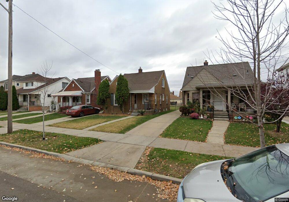
5657 Appoline St Dearborn, MI 48126
Hemlock Park NeighborhoodEstimated Value: $230,000 - $274,000
2
Beds
1
Bath
1,160
Sq Ft
$217/Sq Ft
Est. Value
About This Home
This home is located at 5657 Appoline St, Dearborn, MI 48126 and is currently estimated at $251,510, approximately $216 per square foot. 5657 Appoline St is a home located in Wayne County with nearby schools including Lowrey School, Lowrey Middle School, and Fordson High School.
Ownership History
Date
Name
Owned For
Owner Type
Purchase Details
Closed on
Apr 17, 2012
Sold by
Bank Of America Na
Bought by
Fannie Mae and Federal National Mortgage Association
Current Estimated Value
Purchase Details
Closed on
Mar 22, 2012
Sold by
Asfar Aous
Bought by
Bank Of America N A
Purchase Details
Closed on
Mar 15, 2005
Sold by
Reardon William M and Reardon Kimberly L
Bought by
Asfar Aous
Purchase Details
Closed on
Dec 11, 2000
Sold by
Reardon William M
Bought by
Reardon Kimberly L
Purchase Details
Closed on
May 11, 1998
Sold by
Reardon Judith A
Bought by
Reardon William M
Create a Home Valuation Report for This Property
The Home Valuation Report is an in-depth analysis detailing your home's value as well as a comparison with similar homes in the area
Home Values in the Area
Average Home Value in this Area
Purchase History
| Date | Buyer | Sale Price | Title Company |
|---|---|---|---|
| Fannie Mae | -- | None Available | |
| Bank Of America N A | $37,500 | None Available | |
| Asfar Aous | $151,500 | Multiple | |
| Reardon Kimberly L | -- | -- | |
| Reardon William M | $82,000 | -- |
Source: Public Records
Tax History
| Year | Tax Paid | Tax Assessment Tax Assessment Total Assessment is a certain percentage of the fair market value that is determined by local assessors to be the total taxable value of land and additions on the property. | Land | Improvement |
|---|---|---|---|---|
| 2025 | $4,994 | $108,900 | $0 | $0 |
| 2024 | $2,515 | $106,100 | $0 | $0 |
| 2023 | $2,850 | $89,400 | $0 | $0 |
| 2022 | $2,904 | $70,100 | $0 | $0 |
| 2021 | $2,975 | $62,500 | $0 | $0 |
| 2019 | $3,941 | $52,800 | $0 | $0 |
| 2018 | $3,350 | $49,600 | $0 | $0 |
| 2017 | $600 | $44,700 | $0 | $0 |
| 2016 | $3,178 | $38,900 | $0 | $0 |
| 2015 | $3,695 | $40,550 | $0 | $0 |
| 2013 | $3,580 | $35,800 | $0 | $0 |
| 2011 | -- | $39,350 | $0 | $0 |
Source: Public Records
Map
Nearby Homes
- 5845 Miller Rd
- 5444 Hartwell St
- 5439 Hartwell St
- 5411 Reuter St
- 6131 Appoline St
- 5510 Bingham St
- 5424 Bingham St
- 5861 Bingham St
- 5059 Hartwell St
- 6413 Calhoun St
- 6019 Maple St
- 5637 Horger St
- 7800 Schaefer Rd
- 4342 Lois St
- 8737 Smart St
- 4315 Bingham St
- 5003 Middlesex St
- 4200 Lois St
- 5444 Kenilworth St
- 4913 Middlesex St
- 5665 Appoline St
- 5649 Appoline St
- 5641 Appoline St
- 5701 Appoline St
- 5635 Appoline St
- 5707 Appoline St
- 5713 Appoline St
- 5656 Oakman Blvd
- 5648 Oakman Blvd
- 5666 Oakman Blvd
- 5640 Oakman Blvd
- 5708 Oakman Blvd
- 5721 Appoline St
- 5654 Appoline St
- 5660 Appoline St
- 5648 Appoline St
- 5700 Appoline St
- 5630 Oakman Blvd
- 12820 Ford Rd
- 12810 Ford Rd
Your Personal Tour Guide
Ask me questions while you tour the home.