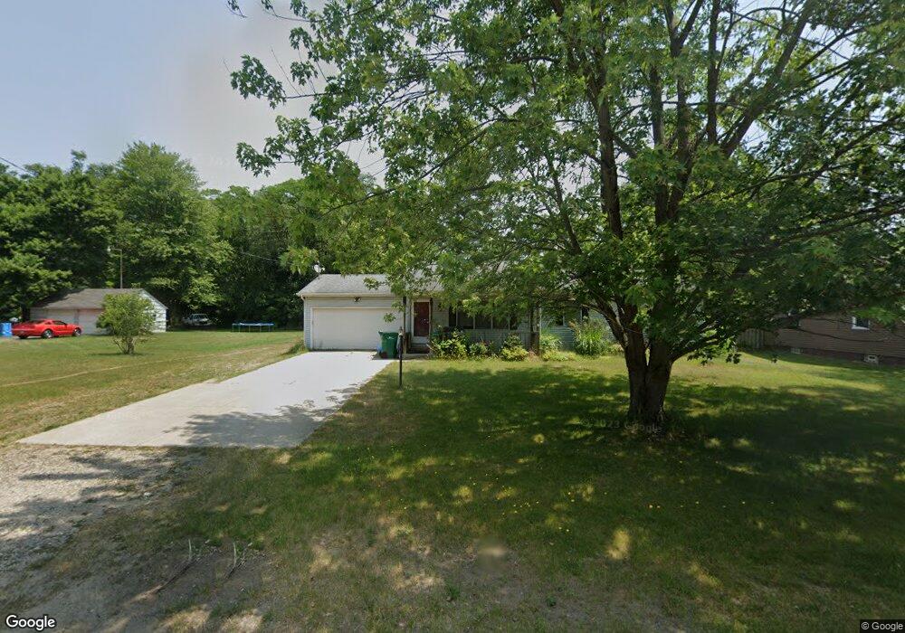
56596 Pear Rd South Bend, IN 46619
Estimated Value: $210,000 - $249,000
3
Beds
2
Baths
1,206
Sq Ft
$187/Sq Ft
Est. Value
About This Home
This home is located at 56596 Pear Rd, South Bend, IN 46619 and is currently estimated at $225,007, approximately $186 per square foot. 56596 Pear Rd is a home located in St. Joseph County with nearby schools including Paton-Churdan Elementary School, Wilson Elementary School, and Clay Intermediate Center.
Ownership History
Date
Name
Owned For
Owner Type
Purchase Details
Closed on
Aug 26, 2009
Sold by
Kruszewski Alan
Bought by
Blosser Mark A
Current Estimated Value
Home Financials for this Owner
Home Financials are based on the most recent Mortgage that was taken out on this home.
Original Mortgage
$109,890
Outstanding Balance
$71,941
Interest Rate
5.21%
Estimated Equity
$153,066
Purchase Details
Closed on
Feb 17, 2006
Sold by
Nyikos Andrew R
Bought by
Kruszewski Alan
Home Financials for this Owner
Home Financials are based on the most recent Mortgage that was taken out on this home.
Original Mortgage
$114,000
Interest Rate
6.33%
Create a Home Valuation Report for This Property
The Home Valuation Report is an in-depth analysis detailing your home's value as well as a comparison with similar homes in the area
Home Values in the Area
Average Home Value in this Area
Purchase History
| Date | Buyer | Sale Price | Title Company |
|---|---|---|---|
| Blosser Mark A | -- | Metropolitan Title In Llc | |
| Kruszewski Alan | -- | Meridian Title Corp |
Source: Public Records
Mortgage History
| Date | Status | Borrower | Loan Amount |
|---|---|---|---|
| Open | Blosser Mark A | $109,890 | |
| Previous Owner | Kruszewski Alan | $114,000 |
Source: Public Records
Tax History Compared to Growth
Tax History
| Year | Tax Paid | Tax Assessment Tax Assessment Total Assessment is a certain percentage of the fair market value that is determined by local assessors to be the total taxable value of land and additions on the property. | Land | Improvement |
|---|---|---|---|---|
| 2024 | $1,454 | $140,400 | $29,800 | $110,600 |
| 2023 | $1,399 | $143,100 | $29,700 | $113,400 |
| 2022 | $1,593 | $143,500 | $29,700 | $113,800 |
| 2021 | $1,352 | $119,200 | $15,600 | $103,600 |
| 2020 | $1,325 | $119,500 | $15,600 | $103,900 |
| 2019 | $1,115 | $119,100 | $14,800 | $104,300 |
| 2018 | $930 | $108,900 | $7,400 | $101,500 |
| 2017 | $645 | $86,300 | $7,400 | $78,900 |
| 2016 | $652 | $86,300 | $7,400 | $78,900 |
| 2014 | $543 | $84,800 | $7,400 | $77,400 |
Source: Public Records
Map
Nearby Homes
- 56451 Quince Rd
- 57115 White Pine Trail
- 57223 Pine Needle Ct
- 57210 White Pine Trail
- 26541 Gaited Horse Trail
- 55629 Cardinal Dr
- 26366 Hummingbird Rd
- 57248 Mcquade St
- 27180 Harrison Rd
- 54962 Quince Rd
- 57845 Crumstown Hwy
- 57860 Crumstown Hwy
- 55915 Dorn St
- 57195 Pinewood Dr
- 56435 Eastlea Dr
- 54483 Whitesell Dr
- 54520 Norwood Dr
- 54492 Avalon Dr
- 25260 Fillmore Rd
- 0 Lakewood Dr
- 56562 Pear Rd
- 56600 Pear Rd
- 56601 Windsor Ave
- 56618 Pear Rd
- 56699 Windsor Ave
- 26752 State Road 2
- 56625 Windsor Ave
- 26560 State Road 2
- 56537 Windsor Ave
- 58 & 59 Windsor Ave
- 56640 Pear Rd
- 26650 State Road 2
- 56580 Windsor Ave
- 56600 Windsor Ave
- 56571 Pear Rd
- 56610 Windsor Ave
- 56659 Windsor Ave
- 56556 Windsor Ave
- 26464 State Road 2
- 56662 Pear Rd