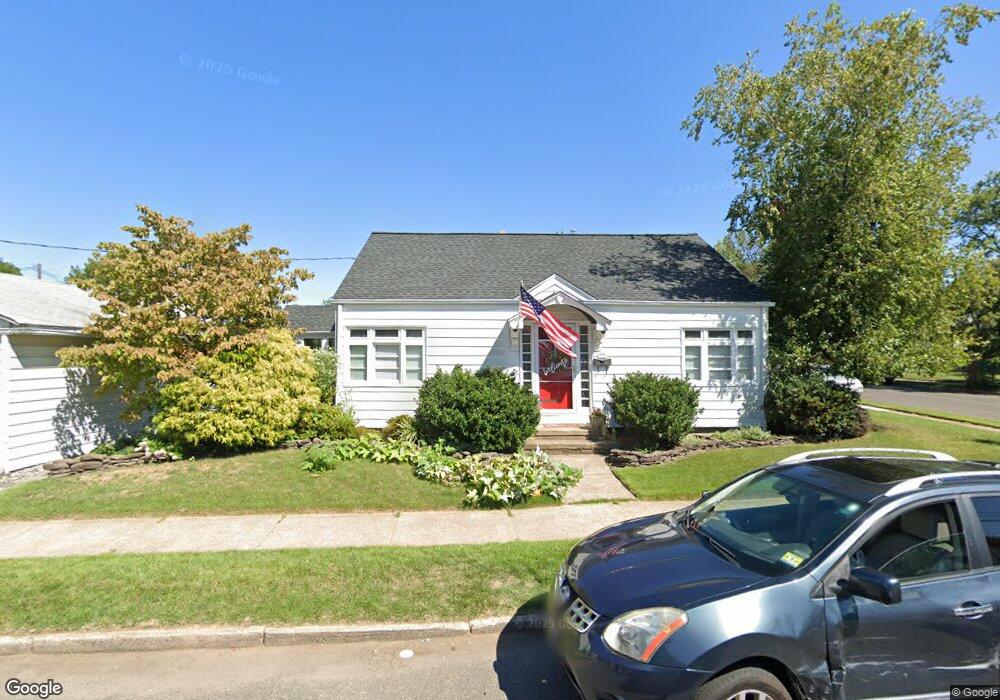
566 Atlantic Ave Trenton, NJ 08629
Estimated Value: $259,345 - $320,000
1
Bed
1
Bath
832
Sq Ft
$337/Sq Ft
Est. Value
About This Home
This home is located at 566 Atlantic Ave, Trenton, NJ 08629 and is currently estimated at $280,086, approximately $336 per square foot. 566 Atlantic Ave is a home located in Mercer County with nearby schools including Kuser Elementary School, Emily C. Reynolds Middle School, and Steinert - Hamilton High East.
Ownership History
Date
Name
Owned For
Owner Type
Purchase Details
Closed on
Apr 2, 1998
Sold by
Butko John
Bought by
Moschera Kathleen
Current Estimated Value
Home Financials for this Owner
Home Financials are based on the most recent Mortgage that was taken out on this home.
Original Mortgage
$73,000
Outstanding Balance
$13,712
Interest Rate
6.98%
Mortgage Type
FHA
Estimated Equity
$266,374
Create a Home Valuation Report for This Property
The Home Valuation Report is an in-depth analysis detailing your home's value as well as a comparison with similar homes in the area
Home Values in the Area
Average Home Value in this Area
Purchase History
| Date | Buyer | Sale Price | Title Company |
|---|---|---|---|
| Moschera Kathleen | $74,500 | -- |
Source: Public Records
Mortgage History
| Date | Status | Borrower | Loan Amount |
|---|---|---|---|
| Open | Moschera Kathleen | $73,000 |
Source: Public Records
Tax History Compared to Growth
Tax History
| Year | Tax Paid | Tax Assessment Tax Assessment Total Assessment is a certain percentage of the fair market value that is determined by local assessors to be the total taxable value of land and additions on the property. | Land | Improvement |
|---|---|---|---|---|
| 2025 | $4,275 | $121,300 | $25,000 | $96,300 |
| 2024 | $4,007 | $121,300 | $25,000 | $96,300 |
| 2023 | $4,007 | $121,300 | $25,000 | $96,300 |
| 2022 | $3,943 | $121,300 | $25,000 | $96,300 |
| 2021 | $4,528 | $121,300 | $25,000 | $96,300 |
| 2020 | $4,091 | $121,300 | $25,000 | $96,300 |
| 2019 | $3,985 | $121,300 | $25,000 | $96,300 |
| 2018 | $3,940 | $121,300 | $25,000 | $96,300 |
| 2017 | $3,738 | $121,300 | $25,000 | $96,300 |
| 2016 | $3,361 | $124,300 | $28,000 | $96,300 |
| 2015 | $3,620 | $74,500 | $20,000 | $54,500 |
| 2014 | $3,562 | $74,500 | $20,000 | $54,500 |
Source: Public Records
Map
Nearby Homes
- 1524 Elizabeth Ave
- 618 Atlantic Ave
- 235 Darcy Ave
- 448 Lynwood Ave
- 480 S Logan Ave
- 1427 Hamilton Ave
- 20 Charlotte Ave
- 365 Cleveland Ave
- 51 Charlotte Ave
- 19 Scammel Ave
- 224 Garfield Ave
- 631 S Olden Ave
- 151 S Logan Ave
- 254 S Olden Ave
- 657 S Olden Ave
- 194 Atlantic Ave
- 144 Beal St
- 1110 Hamilton Ave
- 116 Cleveland Ave
- 42 Bismarck Ave
- 1520 Elizabeth Ave
- 560 Atlantic Ave
- 1444 Elizabeth Ave
- 39 Quincy Ave
- 1526 Elizabeth Ave
- 561 Atlantic Ave
- 29 Quincy Ave
- 1530 Elizabeth Ave
- 1440 Elizabeth Ave
- 614 Atlantic Ave
- 23 Quincy Ave
- 601 Atlantic Ave
- 1438 Elizabeth Ave
- 551 Atlantic Ave
- 1519 Elizabeth Ave
- 1532 Elizabeth Ave
- 452 Atlantic Ave
- 611 Atlantic Ave
- 17 Quincy Ave
- 1428 Elizabeth Ave Unit 1430