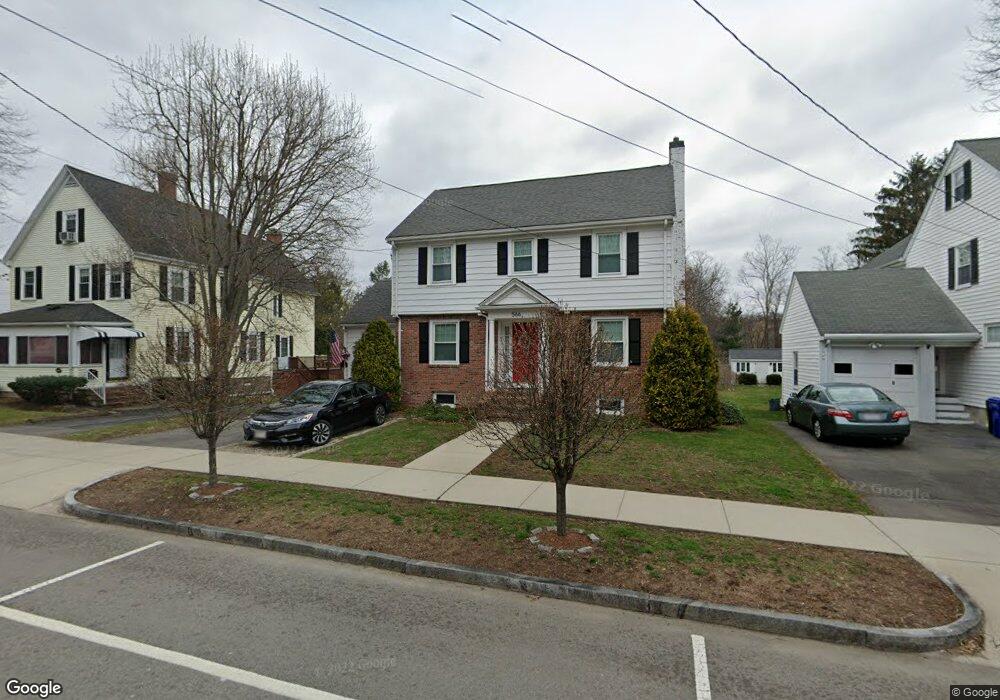
566 Brook Rd Milton, MA 02186
Columbine Cliffs NeighborhoodEstimated Value: $1,010,123 - $1,101,000
3
Beds
2
Baths
2,137
Sq Ft
$490/Sq Ft
Est. Value
About This Home
This home is located at 566 Brook Rd, Milton, MA 02186 and is currently estimated at $1,047,031, approximately $489 per square foot. 566 Brook Rd is a home located in Norfolk County with nearby schools including Milton High School, St. Mary of the Hills School, and Milton Academy.
Ownership History
Date
Name
Owned For
Owner Type
Purchase Details
Closed on
Jun 5, 2018
Sold by
Bushell Simon M and Bushell Kristen N
Bought by
166 Brook Rd Rt
Current Estimated Value
Purchase Details
Closed on
Oct 20, 2009
Sold by
Wall Dora J and Wall Diane E
Bought by
Bushell Simon M and Bushell Kristen N
Home Financials for this Owner
Home Financials are based on the most recent Mortgage that was taken out on this home.
Original Mortgage
$396,000
Interest Rate
5.14%
Mortgage Type
Purchase Money Mortgage
Create a Home Valuation Report for This Property
The Home Valuation Report is an in-depth analysis detailing your home's value as well as a comparison with similar homes in the area
Home Values in the Area
Average Home Value in this Area
Purchase History
| Date | Buyer | Sale Price | Title Company |
|---|---|---|---|
| 166 Brook Rd Rt | -- | -- | |
| Bushell Simon M | $440,000 | -- |
Source: Public Records
Mortgage History
| Date | Status | Borrower | Loan Amount |
|---|---|---|---|
| Previous Owner | Bushell Simon M | $396,000 |
Source: Public Records
Tax History
| Year | Tax Paid | Tax Assessment Tax Assessment Total Assessment is a certain percentage of the fair market value that is determined by local assessors to be the total taxable value of land and additions on the property. | Land | Improvement |
|---|---|---|---|---|
| 2025 | $9,427 | $850,000 | $445,200 | $404,800 |
| 2024 | $9,175 | $840,200 | $424,000 | $416,200 |
| 2023 | $9,005 | $789,900 | $404,000 | $385,900 |
| 2022 | $8,780 | $704,100 | $404,000 | $300,100 |
| 2021 | $8,444 | $643,100 | $357,200 | $285,900 |
| 2020 | $8,167 | $622,500 | $342,200 | $280,300 |
| 2019 | $7,966 | $604,400 | $332,300 | $272,100 |
| 2018 | $7,775 | $563,000 | $295,100 | $267,900 |
| 2017 | $7,260 | $535,400 | $281,100 | $254,300 |
| 2016 | $6,963 | $515,800 | $267,000 | $248,800 |
| 2015 | $6,546 | $469,600 | $226,300 | $243,300 |
Source: Public Records
Map
Nearby Homes
- 260 Canton Ave
- 484 Brook Rd
- 424 Brook Rd
- 259 Central Ave
- 10 Brookside Park
- 46 Audubon Rd
- 137 Thacher St Unit 137
- 44 Allen Cir
- 214 Brook Rd
- 18 Fairfax Rd
- 16 West St
- 168 Brook Rd
- 1241-1255 Adams St Unit F213
- 1241-1255 Adams St Unit B302
- 85 Forbes Rd
- 88 Wharf St Unit 105
- 1245 Adams St Unit B503
- 19 Standard St Unit 2
- 19 Standard St Unit 1
- 403405 Reedsdale Rd
Your Personal Tour Guide
Ask me questions while you tour the home.