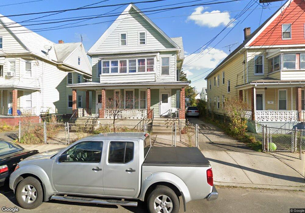
566 Brooks St Bridgeport, CT 06608
East Side Bridgeport NeighborhoodEstimated Value: $536,000 - $604,000
6
Beds
3
Baths
3,635
Sq Ft
$154/Sq Ft
Est. Value
About This Home
This home is located at 566 Brooks St, Bridgeport, CT 06608 and is currently estimated at $560,333, approximately $154 per square foot. 566 Brooks St is a home located in Fairfield County with nearby schools including Luis Munoz Marin School, Harding High School, and Achievement First Bridgeport Academy Elementary School.
Ownership History
Date
Name
Owned For
Owner Type
Purchase Details
Closed on
Jun 15, 1994
Sold by
Fhlmc
Bought by
Wade Lloyd and Riley Norman C
Current Estimated Value
Home Financials for this Owner
Home Financials are based on the most recent Mortgage that was taken out on this home.
Original Mortgage
$25,600
Interest Rate
8.5%
Mortgage Type
Unknown
Create a Home Valuation Report for This Property
The Home Valuation Report is an in-depth analysis detailing your home's value as well as a comparison with similar homes in the area
Home Values in the Area
Average Home Value in this Area
Purchase History
| Date | Buyer | Sale Price | Title Company |
|---|---|---|---|
| Wade Lloyd | $32,000 | -- | |
| Wade Lloyd | $32,000 | -- |
Source: Public Records
Mortgage History
| Date | Status | Borrower | Loan Amount |
|---|---|---|---|
| Closed | Wade Lloyd | $25,600 |
Source: Public Records
Tax History
| Year | Tax Paid | Tax Assessment Tax Assessment Total Assessment is a certain percentage of the fair market value that is determined by local assessors to be the total taxable value of land and additions on the property. | Land | Improvement |
|---|---|---|---|---|
| 2025 | $7,769 | $178,810 | $39,580 | $139,230 |
| 2024 | $7,769 | $178,810 | $39,580 | $139,230 |
| 2023 | $7,769 | $178,810 | $39,580 | $139,230 |
| 2022 | $7,769 | $178,810 | $39,580 | $139,230 |
| 2021 | $7,769 | $178,810 | $39,580 | $139,230 |
| 2020 | $7,241 | $134,110 | $18,740 | $115,370 |
| 2019 | $7,241 | $134,110 | $18,740 | $115,370 |
| 2018 | $7,292 | $134,110 | $18,740 | $115,370 |
| 2017 | $7,292 | $134,110 | $18,740 | $115,370 |
| 2016 | $7,292 | $134,110 | $18,740 | $115,370 |
| 2015 | $7,916 | $187,580 | $34,010 | $153,570 |
| 2014 | $7,916 | $187,580 | $34,010 | $153,570 |
Source: Public Records
Map
Nearby Homes
- 1365 E Main St
- 619 Brooks St Unit 621
- 502 Berkshire Ave
- 1218 Kossuth St
- 500 Park St
- 1248 Pembroke St
- 1220 Pembroke St
- 695 Shelton St
- 369 Park St
- 274 Park St
- 236 Brooks St
- 690 William St
- 750 William St
- 277 Helen St
- 252 Shelton St
- 386 Huntington Rd Unit 388
- 39 Jane St
- 40 Jane St
- 34 Hayes St Unit 40
- 746 Maple St
- 556 Brooks St Unit 560
- 576 Brooks St Unit 578
- 437 Berkshire Ave
- 552 Brooks St Unit 1
- 550 Brooks St Unit 552
- 550 Brooks St Unit 1
- 550-552 Brooks St
- 586 Brooks St Unit 588
- 594 Brooks St Unit 596
- 594 Brooks St Unit 1st Floor
- 569 Brooks St Unit 571
- 547 Brooks St Unit 553
- 410 Putnam St
- 602 Brooks St Unit 604
- 561 Brooks St Unit 563
- 163 Orchard St
- 583 Brooks St Unit 585
- 577 Brooks St
- 181 Orchard St Unit 183
- 149 Orchard St Unit 151
Your Personal Tour Guide
Ask me questions while you tour the home.