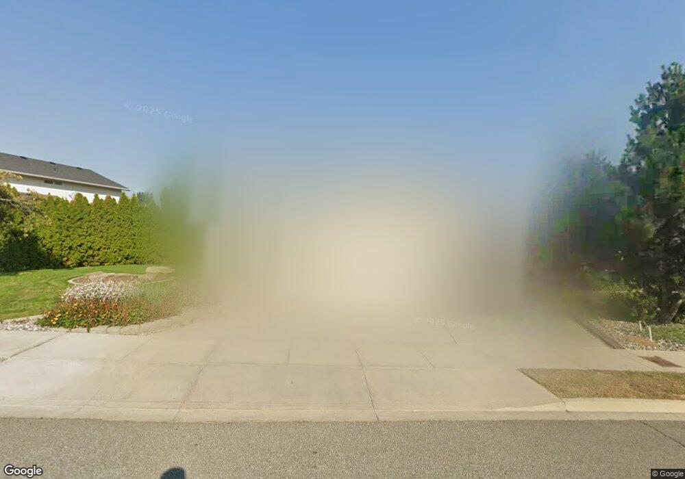
566 Chrisand Ln Wenatchee, WA 98801
Estimated Value: $586,000 - $624,000
3
Beds
2
Baths
1,574
Sq Ft
$384/Sq Ft
Est. Value
About This Home
This home is located at 566 Chrisand Ln, Wenatchee, WA 98801 and is currently estimated at $604,114, approximately $383 per square foot. 566 Chrisand Ln is a home located in Chelan County with nearby schools including Mission View Elementary School, Pioneer Middle School, and Wenatchee High School.
Ownership History
Date
Name
Owned For
Owner Type
Purchase Details
Closed on
May 10, 2012
Sold by
Hanson Dave E and Hanson Dave
Bought by
Hamilton Joshua M and Hamilton Eileen C
Current Estimated Value
Home Financials for this Owner
Home Financials are based on the most recent Mortgage that was taken out on this home.
Original Mortgage
$194,900
Outstanding Balance
$135,542
Interest Rate
3.98%
Mortgage Type
New Conventional
Estimated Equity
$468,572
Purchase Details
Closed on
Apr 21, 2010
Sold by
Hanson Latashja E
Bought by
Hanson David E
Create a Home Valuation Report for This Property
The Home Valuation Report is an in-depth analysis detailing your home's value as well as a comparison with similar homes in the area
Home Values in the Area
Average Home Value in this Area
Purchase History
| Date | Buyer | Sale Price | Title Company |
|---|---|---|---|
| Hamilton Joshua M | $244,900 | First Amer Title Wenatchee | |
| Hanson David E | -- | None Available |
Source: Public Records
Mortgage History
| Date | Status | Borrower | Loan Amount |
|---|---|---|---|
| Open | Hamilton Joshua M | $194,900 |
Source: Public Records
Tax History Compared to Growth
Tax History
| Year | Tax Paid | Tax Assessment Tax Assessment Total Assessment is a certain percentage of the fair market value that is determined by local assessors to be the total taxable value of land and additions on the property. | Land | Improvement |
|---|---|---|---|---|
| 2021 | $4,189 | $415,495 | $98,150 | $317,345 |
| 2020 | $3,405 | $376,972 | $78,000 | $298,972 |
| 2019 | $3,135 | $318,442 | $81,000 | $237,442 |
| 2018 | $3,766 | $308,731 | $57,600 | $251,131 |
| 2017 | $3,086 | $305,763 | $57,600 | $248,163 |
| 2016 | $2,690 | $271,284 | $57,600 | $213,684 |
| 2015 | $2,690 | $295,390 | $57,600 | $237,790 |
| 2013 | $2,690 | $226,156 | $48,000 | $178,156 |
Source: Public Records
Map
Nearby Homes
- 537 Chrisand Ln
- 576 Saddle Rock Loop
- 1735 Skeena Ct
- 1738 Skylar Ct
- 281 Terminal Ave
- 1704 Frances Ct
- 1535 Historic Ln
- 430 Crawford Ave
- 1770 Marker St
- 530 Crawford Ave Unit 19
- 38 S Viewdale St
- 203 Marr St
- 1104 Rosewood Ave
- 1043 Linwood Ave
- 812 Ferry St
- 1005 Fuller St
- 815 Highland Dr
- 926 Kittitas St
- 810 Cashmere St
- 658 Okanogan Ave
- 562 Chrisand Ln
- 570 Chrisand Ln
- 544 Circle St
- 558 Chrisand Ln
- 548 Circle St
- 536 Circle St
- 559 Chrisand Ln
- 1919 Okanogan Ave
- 552 Circle St
- 554 Chrisand Ln
- 1915 Okanogan Ave
- 532 Circle St
- 1942 Jolen Dr
- 1817 Troon Ave
- 1834 Jolen Dr
- 556 Circle St
- 540 Circle St
- 565 Circle St
- 1845 Jolen Dr
- 550 Chrisand Ln