Estimated Value: $286,433 - $356,000
3
Beds
1
Bath
1,744
Sq Ft
$187/Sq Ft
Est. Value
About This Home
This home is located at 566 Collins Rd, Ozark, MO 65721 and is currently estimated at $325,608, approximately $186 per square foot. 566 Collins Rd is a home with nearby schools including South Elementary School, Ozark Junior High School, and Ozark Middle School.
Ownership History
Date
Name
Owned For
Owner Type
Purchase Details
Closed on
Jul 11, 2025
Sold by
Edward R Branagh R and Edward Della M
Bought by
Branagh Edward R
Current Estimated Value
Home Financials for this Owner
Home Financials are based on the most recent Mortgage that was taken out on this home.
Original Mortgage
$35,000
Interest Rate
6.5%
Mortgage Type
Credit Line Revolving
Purchase Details
Closed on
Nov 17, 2023
Sold by
Brow Lindsay Marie
Bought by
Branagh Adham
Purchase Details
Closed on
Aug 5, 2019
Sold by
Branagh Edward E and Branagh Della M
Bought by
Branagh Edward R and Branagh Della M
Create a Home Valuation Report for This Property
The Home Valuation Report is an in-depth analysis detailing your home's value as well as a comparison with similar homes in the area
Purchase History
| Date | Buyer | Sale Price | Title Company |
|---|---|---|---|
| Branagh Edward R | -- | None Listed On Document | |
| Branagh Adham | -- | Fidelity Title | |
| Branagh Edward R | -- | None Available |
Source: Public Records
Mortgage History
| Date | Status | Borrower | Loan Amount |
|---|---|---|---|
| Previous Owner | Branagh Edward R | $35,000 |
Source: Public Records
Tax History
| Year | Tax Paid | Tax Assessment Tax Assessment Total Assessment is a certain percentage of the fair market value that is determined by local assessors to be the total taxable value of land and additions on the property. | Land | Improvement |
|---|---|---|---|---|
| 2025 | $1,454 | $26,620 | -- | -- |
| 2024 | $1,452 | $25,040 | -- | -- |
| 2023 | $1,452 | $25,040 | $0 | $0 |
| 2022 | $1,345 | $23,140 | $0 | $0 |
| 2021 | $1,347 | $23,140 | $0 | $0 |
| 2020 | $1,211 | $21,090 | $0 | $0 |
| 2019 | $1,211 | $21,090 | $0 | $0 |
| 2018 | $1,198 | $21,000 | $0 | $0 |
| 2017 | $1,198 | $21,000 | $0 | $0 |
| 2016 | $1,177 | $21,000 | $0 | $0 |
| 2015 | $1,284 | $21,000 | $21,000 | $0 |
| 2014 | $1,153 | $20,840 | $0 | $0 |
| 2013 | $1,153 | $20,840 | $0 | $0 |
| 2011 | -- | $41,680 | $0 | $0 |
Source: Public Records
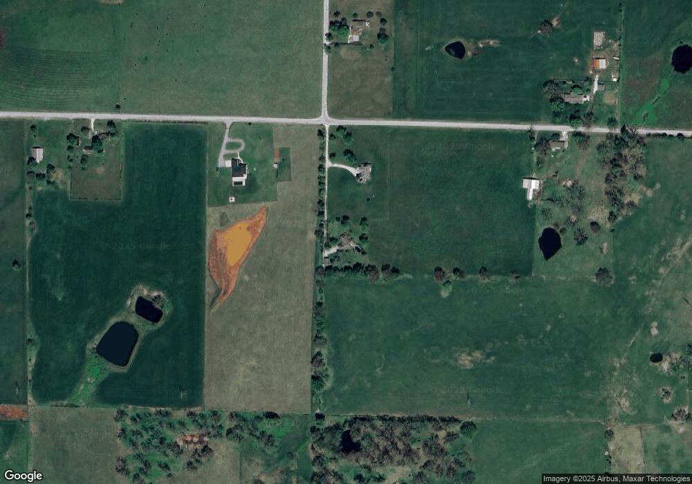
Map
Nearby Homes
- 000 Kentucky Rd
- 1086 Collins Rd
- 1080 Collins Rd
- 1080&1086 Collins Rd
- 3243 Selmore Rd
- 856 Hog Creek Rd
- 152 Covered Bridge Rd
- 1904 W Wellington Dr Unit Lot 56
- 1915 W Woodhaven Dr Unit Lot 102
- 1917 W Woodhaven Dr Unit Lot 101
- 2013 S Edgewood Ct
- 2206 S Grassmier Rd Unit Lot 34
- 2605 S Lotus St
- 1507 W Meadow St
- 2123 Riverdale Rd
- 2201 S 14th St
- 2004 S 14th St
- 2304 S 12th St
- 1402 W Daniels St
- Lot 5 S 12th St
- 558 Collins Rd
- 1396 Cave Hollow Rd
- Tbd Tennessee
- 356 Collins Rd
- 762 Collins Rd
- 339 Collins Rd
- 1322 Cave Hollow Rd
- 1922 Collins Rd
- 0 Collins Rd Unit 10817082
- 0 Collins Rd Unit 10821108
- 0 Collins Rd Unit 10817088
- 0 Collins Rd Unit 10821109
- 0 Collins Rd Unit 11215802
- 0 Collins Rd Unit 60078159
- 0 Collins Rd Unit 60078161
- 0 Collins Rd Unit 60078158
- Tbd Collins Rd
- 1 Collins Rd
- Tract-3 Collins Rd
- Tract-2 Collins Rd
Your Personal Tour Guide
Ask me questions while you tour the home.