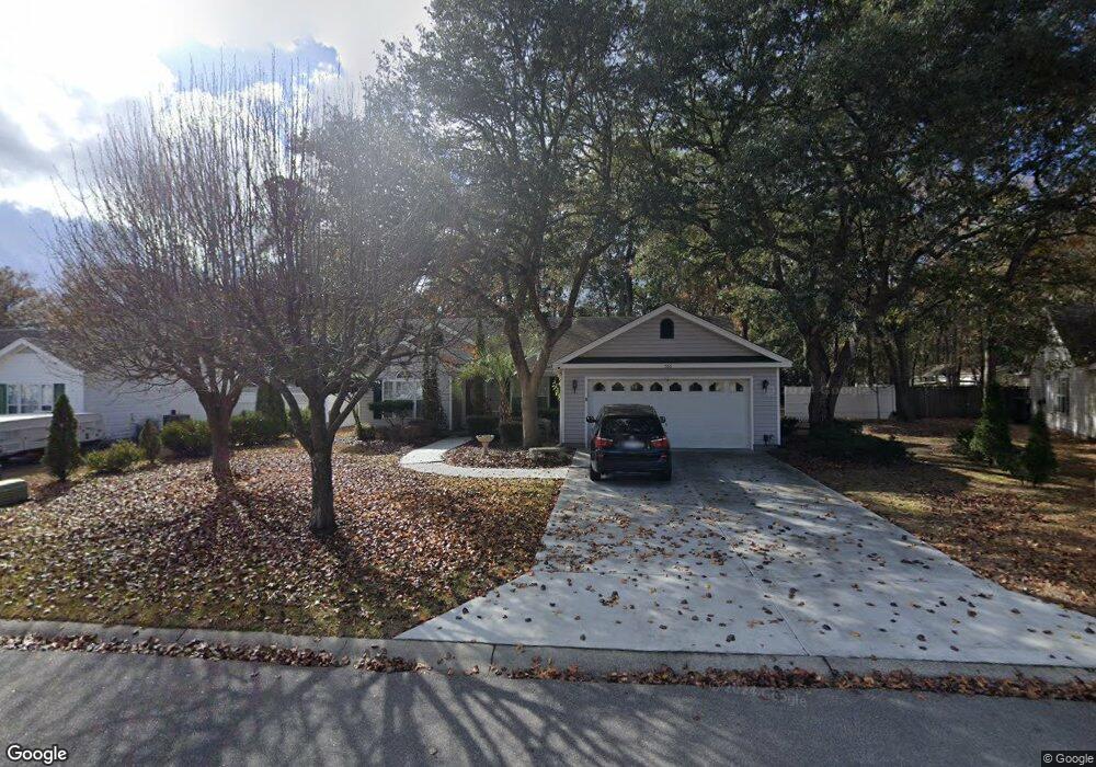
566 Crusade Cir Conway, SC 29526
Estimated Value: $258,000 - $298,000
3
Beds
2
Baths
1,278
Sq Ft
$214/Sq Ft
Est. Value
About This Home
This home is located at 566 Crusade Cir, Conway, SC 29526 and is currently estimated at $273,243, approximately $213 per square foot. 566 Crusade Cir is a home located in Horry County with nearby schools including Palmetto Bays Elementary School, Black Water Middle School, and Carolina Forest High School.
Ownership History
Date
Name
Owned For
Owner Type
Purchase Details
Closed on
Dec 27, 2000
Sold by
Beverly Construction Co Inc
Bought by
Smith Terry Dean
Current Estimated Value
Home Financials for this Owner
Home Financials are based on the most recent Mortgage that was taken out on this home.
Original Mortgage
$112,500
Outstanding Balance
$45,725
Interest Rate
9.95%
Mortgage Type
Purchase Money Mortgage
Estimated Equity
$227,518
Purchase Details
Closed on
Oct 28, 1999
Sold by
Castlewood Development Co Inc
Bought by
Beverly Construction Co Inc
Create a Home Valuation Report for This Property
The Home Valuation Report is an in-depth analysis detailing your home's value as well as a comparison with similar homes in the area
Home Values in the Area
Average Home Value in this Area
Purchase History
| Date | Buyer | Sale Price | Title Company |
|---|---|---|---|
| Smith Terry Dean | $112,500 | -- | |
| Beverly Construction Co Inc | $241,200 | -- |
Source: Public Records
Mortgage History
| Date | Status | Borrower | Loan Amount |
|---|---|---|---|
| Open | Smith Terry Dean | $112,500 |
Source: Public Records
Tax History
| Year | Tax Paid | Tax Assessment Tax Assessment Total Assessment is a certain percentage of the fair market value that is determined by local assessors to be the total taxable value of land and additions on the property. | Land | Improvement |
|---|---|---|---|---|
| 2025 | $702 | $0 | $0 | $0 |
| 2024 | $702 | $11,269 | $3,404 | $7,865 |
| 2023 | $658 | $5,796 | $1,154 | $4,642 |
| 2021 | $638 | $9,776 | $1,952 | $7,824 |
| 2020 | $549 | $9,776 | $1,952 | $7,824 |
| 2019 | $549 | $9,776 | $1,952 | $7,824 |
| 2018 | $496 | $7,561 | $1,501 | $6,060 |
| 2017 | $481 | $7,561 | $1,501 | $6,060 |
| 2016 | -- | $7,561 | $1,501 | $6,060 |
| 2015 | $481 | $7,561 | $1,501 | $6,060 |
| 2014 | $445 | $7,561 | $1,501 | $6,060 |
Source: Public Records
Map
Nearby Homes
- 800 Riverbirch Dr
- 973 Castlewood Dr
- 761 Drawbridge Dr Unit CASTLEWOOD
- 2208 Blair Ct
- 2043 Palm Meadows Way Unit Lot 102
- 2047 Palm Meadows Way Unit Lot 103
- 104 Persivant Dr
- 1008 Oak Meadow Dr Unit Lot 105
- 1127 Lancelot Ln
- 936 Woodwinds Dr
- 945 Woodwinds Dr
- 380 Myrtle Meadows Dr Unit 473A
- 153 Myrtle Grande Dr
- 382 Myrtle Meadows Dr Unit 473B
- 384 Myrtle Meadows Dr Unit 473C
- 386 Myrtle Meadows Dr Unit 473D
- 38 Myrtle Meadows Dr Unit 421E
- 381 Myrtle Meadows Dr Unit 421F
- 383 Myrtle Meadows Dr Unit 421E
- 390 Myrtle Meadows Dr Unit 473F
- 564 Crusade Cir
- 568 Crusade Cir
- 568 Crusade Cir Unit CASTLEWOOD
- 864 Riverbirch Dr
- 570 Crusade Cir Unit Castlewood
- 570 Crusade Cir
- 561 Crusade Cir
- 562 Crusade Cir
- 571 Crusade Cir
- Lot 8 Rolling Hills Dr
- 567 Crusade Cir
- 572 Crusade Cir
- 871 Riverbirch Dr
- 849 Riverbirch Dr
- 1845 Rolling Hills Dr Unit MYRTLE RIDGE
- 1845 Rolling Hills Dr
- 1832 Rolling Hills Dr
- 560 Crusade Cir
- 560 Crusade Cir Unit Castlewood
- 836 Riverbirch Dr
Your Personal Tour Guide
Ask me questions while you tour the home.