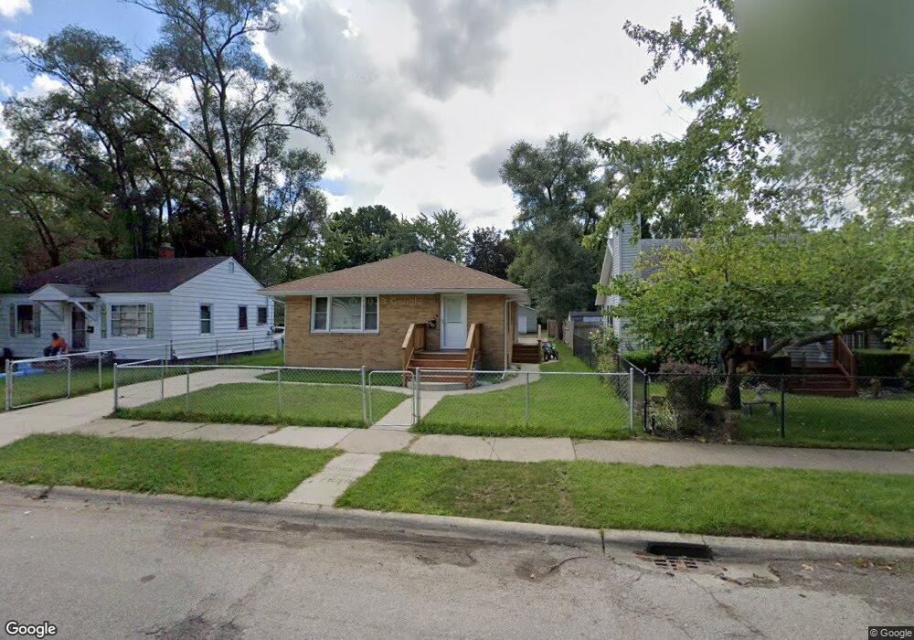
566 E May St Benton Harbor, MI 49022
Estimated Value: $94,000 - $114,000
3
Beds
1
Bath
1,120
Sq Ft
$95/Sq Ft
Est. Value
About This Home
This home is located at 566 E May St, Benton Harbor, MI 49022 and is currently estimated at $106,376, approximately $94 per square foot. 566 E May St is a home located in Berrien County with nearby schools including Fair Plain Middle School, Benton Harbor High School, and Benton Harbor Charter School Academy.
Ownership History
Date
Name
Owned For
Owner Type
Purchase Details
Closed on
Jan 30, 2024
Sold by
Beaty Roshell Rena
Bought by
Beaty Roshell Renu and Black Mariyah Lindsey
Current Estimated Value
Purchase Details
Closed on
Mar 29, 2017
Sold by
Palmer Donald and Palmer Brenda
Bought by
Beaty Roshell
Purchase Details
Closed on
Jan 27, 2005
Sold by
Heward Jeffery and Heward Cheri
Bought by
Palmer Donald and Palmer Brenda
Purchase Details
Closed on
Nov 13, 1996
Purchase Details
Closed on
Apr 13, 1991
Create a Home Valuation Report for This Property
The Home Valuation Report is an in-depth analysis detailing your home's value as well as a comparison with similar homes in the area
Home Values in the Area
Average Home Value in this Area
Purchase History
| Date | Buyer | Sale Price | Title Company |
|---|---|---|---|
| Beaty Roshell Renu | -- | None Listed On Document | |
| Beaty Roshell Renu | -- | None Listed On Document | |
| Beaty Roshell | -- | None Available | |
| Palmer Donald | $27,000 | -- | |
| -- | $24,000 | -- | |
| -- | $9,000 | -- |
Source: Public Records
Tax History
| Year | Tax Paid | Tax Assessment Tax Assessment Total Assessment is a certain percentage of the fair market value that is determined by local assessors to be the total taxable value of land and additions on the property. | Land | Improvement |
|---|---|---|---|---|
| 2025 | $879 | $41,600 | $0 | $0 |
| 2024 | $832 | $36,900 | $0 | $0 |
| 2023 | $611 | $26,800 | $0 | $0 |
| 2022 | $755 | $20,100 | $0 | $0 |
| 2021 | $773 | $18,700 | $700 | $18,000 |
| 2020 | $763 | $18,900 | $0 | $0 |
| 2019 | $2,189 | $15,600 | $0 | $0 |
| 2018 | $716 | $15,900 | $0 | $0 |
| 2017 | $801 | $18,200 | $0 | $0 |
| 2016 | $1,108 | $18,400 | $0 | $0 |
| 2015 | $1,105 | $17,700 | $0 | $0 |
| 2014 | $1,195 | $21,400 | $0 | $0 |
Source: Public Records
Map
Nearby Homes
- 1190 Monroe St
- 1064 Ogden Ave
- 1086 Union Ave
- 956 Union Ave
- 1250 Superior St
- 1342 Monroe St
- 1096 Pearl St
- 1132 Milton St
- 1309 Agard Ave
- 1216 Broadway
- 1238 Broadway
- V/L Mcalister
- 730 Superior St
- 1045 Broadway
- 979 Lavette Ave
- 758 Pearl St
- 410 Division St
- 180 Emery Ave
- 1593 Columbus Ave
- 1504 Michigan 139
- 560 E May St
- 572 E May St
- 550 E May St
- 1110 Jennings Ave
- 1122 Jennings Ave
- 1131 Monroe St
- 1095 Monroe St
- 1130 Jennings Ave
- 1139 Monroe St
- 1087 Monroe St
- 1094 Jennings Ave
- 1138 Jennings Ave
- 1083 Monroe St
- 1145 Monroe St
- 1086 Jennings Ave
- 1082 Jennings Ave
- 1144 Jennings Ave
- 528 E May St
- 1073 Monroe St
- 1111 Jennings Ave
Your Personal Tour Guide
Ask me questions while you tour the home.