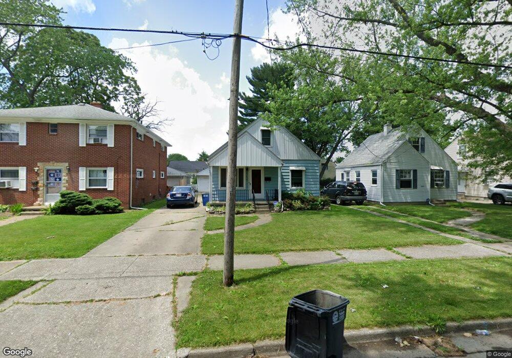
566 Federman St Toledo, OH 43609
Southside NeighborhoodEstimated Value: $78,000 - $104,000
3
Beds
1
Bath
1,248
Sq Ft
$73/Sq Ft
Est. Value
About This Home
This home is located at 566 Federman St, Toledo, OH 43609 and is currently estimated at $90,902, approximately $72 per square foot. 566 Federman St is a home located in Lucas County with nearby schools including Burroughs Elementary School, Bowsher High School, and Explorers Academy of Science and Technology.
Ownership History
Date
Name
Owned For
Owner Type
Purchase Details
Closed on
Jun 28, 2024
Sold by
Huss Marvin F and Huss Sharon L
Bought by
Baun James
Current Estimated Value
Home Financials for this Owner
Home Financials are based on the most recent Mortgage that was taken out on this home.
Original Mortgage
$56,000
Outstanding Balance
$55,122
Interest Rate
6.94%
Mortgage Type
New Conventional
Estimated Equity
$35,780
Create a Home Valuation Report for This Property
The Home Valuation Report is an in-depth analysis detailing your home's value as well as a comparison with similar homes in the area
Home Values in the Area
Average Home Value in this Area
Purchase History
| Date | Buyer | Sale Price | Title Company |
|---|---|---|---|
| Baun James | $70,000 | Liberty Title |
Source: Public Records
Mortgage History
| Date | Status | Borrower | Loan Amount |
|---|---|---|---|
| Open | Baun James | $56,000 |
Source: Public Records
Tax History
| Year | Tax Paid | Tax Assessment Tax Assessment Total Assessment is a certain percentage of the fair market value that is determined by local assessors to be the total taxable value of land and additions on the property. | Land | Improvement |
|---|---|---|---|---|
| 2025 | -- | $25,900 | $4,480 | $21,420 |
| 2024 | $815 | $25,900 | $4,480 | $21,420 |
| 2023 | $1,510 | $22,890 | $3,990 | $18,900 |
| 2022 | $1,515 | $22,890 | $3,990 | $18,900 |
| 2021 | $1,552 | $22,890 | $3,990 | $18,900 |
| 2020 | $1,671 | $21,910 | $3,815 | $18,095 |
| 2019 | $1,626 | $21,910 | $3,815 | $18,095 |
| 2018 | $1,633 | $21,910 | $3,815 | $18,095 |
| 2017 | $1,638 | $21,420 | $3,745 | $17,675 |
| 2016 | $1,636 | $61,200 | $10,700 | $50,500 |
| 2015 | $1,621 | $61,200 | $10,700 | $50,500 |
| 2014 | $797 | $21,430 | $3,750 | $17,680 |
| 2013 | $797 | $21,430 | $3,750 | $17,680 |
Source: Public Records
Map
Nearby Homes
- 2335 Airport Hwy
- 518 Myers St
- 2121 Airport Hwy
- 414 Bender Dr
- 415 Mayberry St
- 532 Colima Dr
- 518 Colima Dr
- 702 Colima Dr
- 2122 Arlington Ave
- 2010 Airport Hwy
- 812 National Ave
- 1936 Airport Hwy
- 859 National Ave
- 802 Wright Ave
- 512 Woodsdale Ave
- 2837 Airport Hwy
- 1777 South Ave
- 1836 Finch St
- 915 Atlantic Ave
- 1824 Arlington Ave
- 568 Federman St
- 556 Federman St
- 560 Federman St
- 2256 Dundee St
- 2258 Dundee St
- 552 Federman St
- 2234 Dundee St
- 2245 Dundee St
- 2249 Dundee St
- 630 Federman St
- 2239 Dundee St
- 2230 Dundee St
- 634 Federman St
- 2253 Dundee St
- 565 Apple Ave
- 544 Federman St
- 561 Apple Ave
- 547 Apple Ave
- 557 Federman St
- 2267 Dundee St
Your Personal Tour Guide
Ask me questions while you tour the home.