566 Garland Rd Winslow, ME 04901
Estimated Value: $295,000 - $553,000
5
Beds
2
Baths
1,951
Sq Ft
$210/Sq Ft
Est. Value
About This Home
This home is located at 566 Garland Rd, Winslow, ME 04901 and is currently estimated at $409,758, approximately $210 per square foot. 566 Garland Rd is a home located in Kennebec County with nearby schools including Winslow Elementary School, Winslow Junior High School, and Winslow High School.
Ownership History
Date
Name
Owned For
Owner Type
Purchase Details
Closed on
Mar 31, 2008
Sold by
Beneficial Maine Inc
Bought by
Upton Sheila E
Current Estimated Value
Home Financials for this Owner
Home Financials are based on the most recent Mortgage that was taken out on this home.
Original Mortgage
$119,225
Outstanding Balance
$59,487
Interest Rate
5.76%
Mortgage Type
Unknown
Estimated Equity
$350,271
Create a Home Valuation Report for This Property
The Home Valuation Report is an in-depth analysis detailing your home's value as well as a comparison with similar homes in the area
Home Values in the Area
Average Home Value in this Area
Purchase History
| Date | Buyer | Sale Price | Title Company |
|---|---|---|---|
| Upton Sheila E | -- | -- |
Source: Public Records
Mortgage History
| Date | Status | Borrower | Loan Amount |
|---|---|---|---|
| Open | Upton Sheila E | $119,225 |
Source: Public Records
Tax History Compared to Growth
Tax History
| Year | Tax Paid | Tax Assessment Tax Assessment Total Assessment is a certain percentage of the fair market value that is determined by local assessors to be the total taxable value of land and additions on the property. | Land | Improvement |
|---|---|---|---|---|
| 2024 | $3,815 | $254,300 | $51,200 | $203,100 |
| 2023 | $3,815 | $254,300 | $51,200 | $203,100 |
| 2022 | $2,904 | $137,000 | $35,600 | $101,400 |
| 2021 | $2,658 | $131,600 | $35,600 | $96,000 |
| 2020 | $2,477 | $131,600 | $35,600 | $96,000 |
| 2019 | $2,453 | $131,600 | $35,600 | $96,000 |
| 2018 | $2,361 | $131,600 | $35,600 | $96,000 |
| 2017 | $2,203 | $131,600 | $35,600 | $96,000 |
| 2016 | $2,071 | $131,600 | $35,600 | $96,000 |
| 2015 | $2,038 | $131,500 | $35,500 | $96,000 |
| 2014 | $2,038 | $131,500 | $35,500 | $96,000 |
Source: Public Records
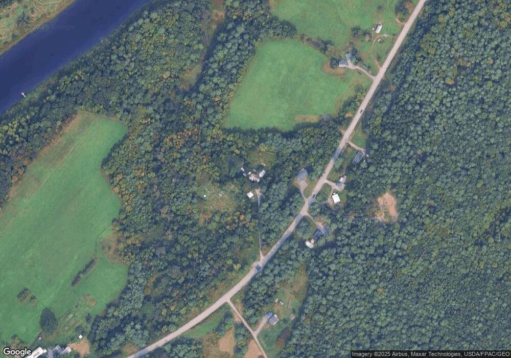
Map
Nearby Homes
- 486 Garland Rd
- 501 Clinton Ave
- 0 Olde Heritage Map 10 Lot 77-3 Place Unit 1628289
- 2 and 3 Blue Heron Ln
- 158 Clinton Ave
- 144 Clinton Ave
- 4 Marcoux St
- 14 Fuller Dr
- 701 China Rd
- Lot 4 Peachtree Ln
- 11 Poulin St
- 12 Whipple St
- 85 Halifax St
- 31 Whipple St
- 3 Baker St
- 1 S Reynolds Rd
- 73 Halifax St
- 23 N Garand St
- TBD China Rd
- 21 Meadow View Ln
- 580 Garland Rd
- 579 Garland Rd
- 587 Garland Rd
- 597 Garland Rd
- 569 Garland Rd
- 561 Garland Rd
- 514 Garland Rd
- 638 Garland Rd
- 608 Garland Rd
- 233 N Reynolds Rd
- 5260 Garland Rd
- 234 N Reynolds Rd
- 511 Garland Rd
- 395 Clinton Ave
- 397 Clinton Ave
- 345 Clinton Ave
- 341 Clinton Ave
- 230 N Reynolds Rd
- 2 Ellis Rd
- 670 Garland Rd