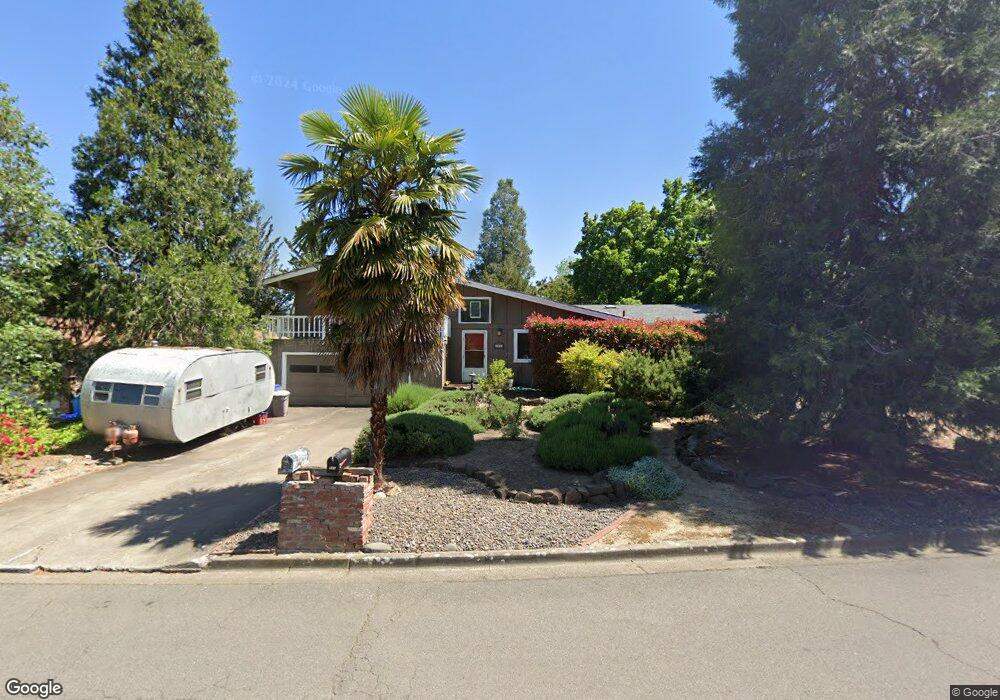
566 Oak Knoll Dr Ashland, OR 97520
Oak Knoll NeighborhoodEstimated Value: $514,000 - $589,000
3
Beds
2
Baths
1,850
Sq Ft
$290/Sq Ft
Est. Value
About This Home
This home is located at 566 Oak Knoll Dr, Ashland, OR 97520 and is currently estimated at $535,674, approximately $289 per square foot. 566 Oak Knoll Dr is a home located in Jackson County with nearby schools including Bellview Elementary School, Ashland Middle School, and Ashland High School.
Ownership History
Date
Name
Owned For
Owner Type
Purchase Details
Closed on
Sep 29, 2003
Sold by
Wise Nicholas L and Wise Genevieve O
Bought by
Miller John T and Payne Stacey D
Current Estimated Value
Home Financials for this Owner
Home Financials are based on the most recent Mortgage that was taken out on this home.
Original Mortgage
$192,000
Outstanding Balance
$89,660
Interest Rate
6.22%
Mortgage Type
Purchase Money Mortgage
Estimated Equity
$446,014
Create a Home Valuation Report for This Property
The Home Valuation Report is an in-depth analysis detailing your home's value as well as a comparison with similar homes in the area
Home Values in the Area
Average Home Value in this Area
Purchase History
| Date | Buyer | Sale Price | Title Company |
|---|---|---|---|
| Miller John T | $240,000 | Amerititle |
Source: Public Records
Mortgage History
| Date | Status | Borrower | Loan Amount |
|---|---|---|---|
| Open | Miller John T | $192,000 |
Source: Public Records
Tax History Compared to Growth
Tax History
| Year | Tax Paid | Tax Assessment Tax Assessment Total Assessment is a certain percentage of the fair market value that is determined by local assessors to be the total taxable value of land and additions on the property. | Land | Improvement |
|---|---|---|---|---|
| 2025 | $4,457 | $287,500 | $123,010 | $164,490 |
| 2024 | $4,457 | $279,130 | $119,430 | $159,700 |
| 2023 | $4,312 | $271,000 | $115,950 | $155,050 |
| 2022 | $4,174 | $271,000 | $115,950 | $155,050 |
| 2021 | $4,032 | $263,110 | $112,580 | $150,530 |
| 2020 | $3,919 | $255,450 | $109,300 | $146,150 |
| 2019 | $3,857 | $240,790 | $103,030 | $137,760 |
| 2018 | $3,643 | $233,780 | $100,030 | $133,750 |
| 2017 | $3,617 | $233,780 | $100,030 | $133,750 |
| 2016 | $3,523 | $220,370 | $94,300 | $126,070 |
| 2015 | $3,386 | $220,370 | $94,300 | $126,070 |
| 2014 | $3,277 | $207,730 | $88,890 | $118,840 |
Source: Public Records
Map
Nearby Homes
- 551 Sutton Place
- 642 Spring Creek Dr
- 738 Fairway Ct
- 30 Knoll Crest Dr
- 690 Spring Creek Dr
- 767 Twin Pines Cir
- 795 Oak Knoll Dr
- 805 Oak Knoll Dr
- 854 Twin Pines Cir Unit 7
- 0 Dead Indian Memorial Rd Unit 220202163
- 766 E Jefferson Ave
- 582 Washington St
- 799 E Jefferson Ave
- 510 Washington St
- 912 Cypress Point Loop
- 141 Majestic Ln
- 0 Tolman Cr Rd Unit 220204970
- 3345 Hwy 66 Hwy
- 3345 Highway 66
- 295 Tolman Creek Rd Unit 1
- 580 Oak Knoll Dr
- 550 Oak Knoll Dr
- 555 Oak Hill Cir
- 565 Oak Hill Cir
- 594 Oak Knoll Dr
- 540 Oak Knoll Dr
- 545 Oak Hill Cir
- 565 Oak Knoll Dr
- 571 Oak Knoll Dr
- 555 Oak Knoll Dr
- 535 Oak Hill Cir
- 541 Oak Knoll Dr
- 614 Oak Knoll Dr
- 593 Oak Knoll Dr
- 599 Oak Knoll Dr
- 566 Oak Hill Cir
- 575 Spring Creek Dr
- 2850 Wedgewood Ln
- 570 Sutton Place
- 558 Oak Hill Cir