566 Table Mountain Dr Macon, GA 31220
Lake Wildwood NeighborhoodEstimated Value: $177,000 - $192,000
3
Beds
2
Baths
1,393
Sq Ft
$132/Sq Ft
Est. Value
About This Home
This home is located at 566 Table Mountain Dr, Macon, GA 31220 and is currently estimated at $183,465, approximately $131 per square foot. 566 Table Mountain Dr is a home located in Bibb County with nearby schools including Heritage Elementary School, Weaver Middle School, and Westside High School.
Ownership History
Date
Name
Owned For
Owner Type
Purchase Details
Closed on
Jan 23, 2009
Sold by
Simpson Mary C and Chafin Mary C
Bought by
Chafin Ralph W and Chafin Mary C
Current Estimated Value
Home Financials for this Owner
Home Financials are based on the most recent Mortgage that was taken out on this home.
Original Mortgage
$69,856
Interest Rate
4.91%
Mortgage Type
FHA
Create a Home Valuation Report for This Property
The Home Valuation Report is an in-depth analysis detailing your home's value as well as a comparison with similar homes in the area
Home Values in the Area
Average Home Value in this Area
Purchase History
| Date | Buyer | Sale Price | Title Company |
|---|---|---|---|
| Chafin Ralph W | -- | Buckeye Clear Title Agency L |
Source: Public Records
Mortgage History
| Date | Status | Borrower | Loan Amount |
|---|---|---|---|
| Closed | Chafin Ralph W | $69,856 |
Source: Public Records
Tax History
| Year | Tax Paid | Tax Assessment Tax Assessment Total Assessment is a certain percentage of the fair market value that is determined by local assessors to be the total taxable value of land and additions on the property. | Land | Improvement |
|---|---|---|---|---|
| 2025 | $1,501 | $68,088 | $6,160 | $61,928 |
| 2024 | $1,551 | $68,088 | $6,160 | $61,928 |
| 2023 | $921 | $61,250 | $6,160 | $55,090 |
| 2022 | $1,687 | $55,718 | $3,283 | $52,435 |
| 2021 | $1,452 | $45,202 | $3,283 | $41,919 |
| 2020 | $1,298 | $40,439 | $3,283 | $37,156 |
| 2019 | $1,102 | $35,150 | $3,283 | $31,867 |
| 2018 | $1,688 | $32,162 | $3,283 | $28,879 |
| 2017 | $794 | $28,179 | $3,283 | $24,896 |
| 2016 | $733 | $28,179 | $3,283 | $24,896 |
| 2015 | $1,038 | $28,179 | $3,283 | $24,896 |
| 2014 | $1,121 | $29,838 | $3,283 | $26,556 |
Source: Public Records
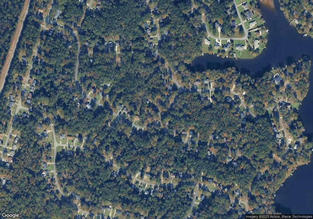
Map
Nearby Homes
- 565 Lacebark Dr
- 758 Friar Tuck Ln
- 578 Bristle Cone Dr
- 378 Fox Tail Dr
- 637 Will Scarlet Way
- 1532 Greentree Pkwy
- 1376 Greentree Pkwy Unit II
- 1360 Greentree Pkwy
- 1304 Greentree Pkwy
- 1169 Sandy Beach Dr
- 283 Springview Dr
- 1698 Greentree Pkwy
- 260 Edgewater Dr
- 1181 Greentree Pkwy
- 150 Lake Wildwood Dr
- 1153 Gareth Ln
- 1751 Bridle Ln
- 1776 Bridle
- 1137 N Plantation Pkwy
- 1154 N Plantation Pkwy
- 574 Table Mountain Dr
- 584 Table Mountain Dr
- 563 Table Mountain Dr
- 499 Lacebark Dr
- 510 Table Mountain Dr
- 573 Table Mountain Dr
- 581 Table Mountain Dr
- 491 Lacebark Dr
- 591 Table Mountain Dr
- 502 Table Mountain Dr
- 509 Bristle Cone Dr
- 545 Table Mountain Dr
- 485 Lacebark Dr
- 537 Table Mountain Dr
- 498 Table Mountain Dr
- 518 Bristle Cone Dr
- 527 Table Mountain Dr
- 477 Lacebark Dr
- 513 Bristle Cone Dr
- 498 Lacebark Dr
Your Personal Tour Guide
Ask me questions while you tour the home.