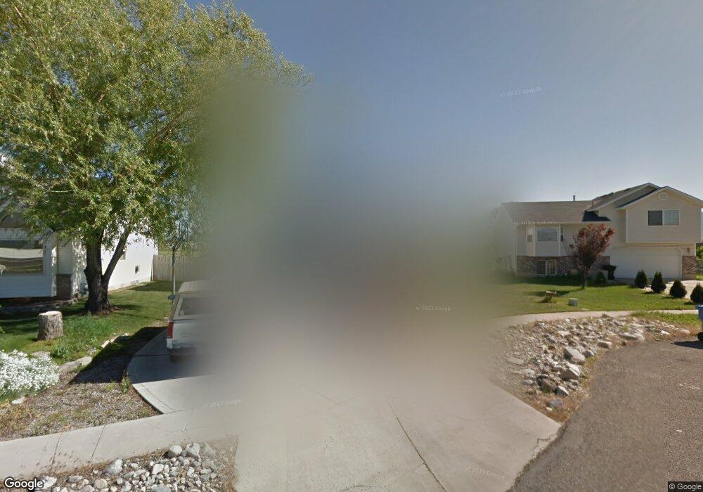
566 W 1330 N Logan, UT 84341
Bridger NeighborhoodEstimated Value: $375,000 - $420,000
Studio
--
Bath
1,571
Sq Ft
$256/Sq Ft
Est. Value
About This Home
This home is located at 566 W 1330 N, Logan, UT 84341 and is currently estimated at $402,632, approximately $256 per square foot. 566 W 1330 N is a home with nearby schools including Bridger School, Mount Logan Middle School, and Logan High School.
Ownership History
Date
Name
Owned For
Owner Type
Purchase Details
Closed on
May 11, 2018
Sold by
Miller Julie W and Miller Jason
Bought by
Miller Jason
Current Estimated Value
Home Financials for this Owner
Home Financials are based on the most recent Mortgage that was taken out on this home.
Original Mortgage
$222,000
Outstanding Balance
$190,364
Interest Rate
4.5%
Mortgage Type
VA
Estimated Equity
$212,268
Purchase Details
Closed on
Aug 1, 2017
Sold by
Scarpelli Arthur E and Miller Julie W
Bought by
Miller Julie W and Miller Jason
Home Financials for this Owner
Home Financials are based on the most recent Mortgage that was taken out on this home.
Original Mortgage
$179,029
Interest Rate
3.87%
Mortgage Type
FHA
Purchase Details
Closed on
Apr 15, 2015
Sold by
Miller Julie W
Bought by
Scarpelli Arthur E and Miller Julie W
Create a Home Valuation Report for This Property
The Home Valuation Report is an in-depth analysis detailing your home's value as well as a comparison with similar homes in the area
Home Values in the Area
Average Home Value in this Area
Purchase History
| Date | Buyer | Sale Price | Title Company |
|---|---|---|---|
| Miller Jason | -- | Title Source | |
| Miller Julie W | -- | None Available | |
| Scarpelli Arthur E | -- | Heritage Title |
Source: Public Records
Mortgage History
| Date | Status | Borrower | Loan Amount |
|---|---|---|---|
| Open | Miller Jason | $222,000 | |
| Closed | Miller Julie W | $179,029 |
Source: Public Records
Tax History
| Year | Tax Paid | Tax Assessment Tax Assessment Total Assessment is a certain percentage of the fair market value that is determined by local assessors to be the total taxable value of land and additions on the property. | Land | Improvement |
|---|---|---|---|---|
| 2025 | $1,716 | $221,895 | $0 | $0 |
| 2024 | $1,771 | $221,895 | $0 | $0 |
| 2023 | $1,848 | $220,685 | $0 | $0 |
| 2022 | $1,659 | $184,930 | $0 | $0 |
| 2021 | $1,614 | $277,995 | $45,000 | $232,995 |
| 2020 | $1,449 | $224,630 | $45,000 | $179,630 |
| 2019 | $1,514 | $224,630 | $45,000 | $179,630 |
| 2018 | $1,486 | $201,200 | $45,000 | $156,200 |
| 2017 | $1,383 | $99,030 | $0 | $0 |
| 2016 | $1,434 | $92,045 | $0 | $0 |
| 2015 | $1,270 | $87,595 | $0 | $0 |
| 2014 | $1,148 | $87,595 | $0 | $0 |
| 2013 | -- | $87,595 | $0 | $0 |
Source: Public Records
Map
Nearby Homes
- 432 Spring Ln
- 539 W 1465 N Unit 17-102
- 1515 N 450 W Unit 103
- 519 W 1570 N Unit 103
- 446 W 1595 N Unit 103
- 2200 N 220 W
- 1555 N 280 W Unit 102
- 518 W 930 N
- Park Avenue 1600 Plan at Park Avenue 1600
- 2 Somerset Place
- 430 W 810 N
- 897 N 250 W
- 111 Kings Ct
- 49 Kensington Place
- 420 W 750 N
- 60 Hampton Place
- 20 Kings Ct
- 1926 Lavender Loop Unit 6
- 476 W 725 N
- 365 W 690 N