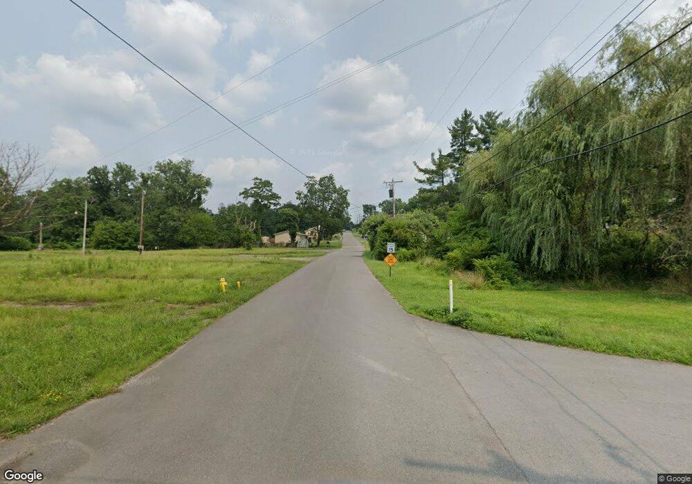
566 W Pennsylvania Ave Morgantown, WV 26501
Estimated Value: $190,384 - $223,000
3
Beds
2
Baths
1,584
Sq Ft
$128/Sq Ft
Est. Value
About This Home
This home is located at 566 W Pennsylvania Ave, Morgantown, WV 26501 and is currently estimated at $202,846, approximately $128 per square foot. 566 W Pennsylvania Ave is a home with nearby schools including Skyview Elementary School, Westwood Middle School, and University High School.
Ownership History
Date
Name
Owned For
Owner Type
Purchase Details
Closed on
Apr 15, 2021
Sold by
Mccardle Earl Edward
Bought by
Buzzo Otis Ted and Buzzo Lillian
Current Estimated Value
Purchase Details
Closed on
Sep 5, 2019
Sold by
Pappas Keith J
Bought by
United Bank
Purchase Details
Closed on
Jun 2, 2005
Sold by
Goodwin Kermit C and Goodwin Penny L
Bought by
Rupp Brooke C
Home Financials for this Owner
Home Financials are based on the most recent Mortgage that was taken out on this home.
Original Mortgage
$83,000
Interest Rate
6.25%
Mortgage Type
Adjustable Rate Mortgage/ARM
Create a Home Valuation Report for This Property
The Home Valuation Report is an in-depth analysis detailing your home's value as well as a comparison with similar homes in the area
Home Values in the Area
Average Home Value in this Area
Purchase History
| Date | Buyer | Sale Price | Title Company |
|---|---|---|---|
| Buzzo Otis Ted | $25,000 | None Available | |
| United Bank | $50,400 | None Available | |
| Rupp Brooke C | $89,000 | None Available |
Source: Public Records
Mortgage History
| Date | Status | Borrower | Loan Amount |
|---|---|---|---|
| Previous Owner | Rupp Brooke C | $83,000 |
Source: Public Records
Tax History Compared to Growth
Tax History
| Year | Tax Paid | Tax Assessment Tax Assessment Total Assessment is a certain percentage of the fair market value that is determined by local assessors to be the total taxable value of land and additions on the property. | Land | Improvement |
|---|---|---|---|---|
| 2024 | $1,970 | $75,420 | $17,760 | $57,660 |
| 2023 | $1,984 | $75,420 | $17,760 | $57,660 |
| 2022 | $1,914 | $75,060 | $17,760 | $57,300 |
| 2021 | $1,835 | $71,700 | $17,760 | $53,940 |
| 2020 | $929 | $72,360 | $17,760 | $54,600 |
| 2019 | $943 | $73,020 | $17,760 | $55,260 |
| 2018 | $949 | $73,260 | $18,180 | $55,080 |
| 2017 | $948 | $72,900 | $17,160 | $55,740 |
| 2016 | $912 | $71,580 | $15,840 | $55,740 |
| 2015 | $846 | $70,140 | $15,840 | $54,300 |
| 2014 | $788 | $68,100 | $14,520 | $53,580 |
Source: Public Records
Map
Nearby Homes
- 478 Dunkard Ave
- 159 Main St
- tbd Michigan Ave
- 352 Dunkard Ave
- 1448 Main St
- 8 W 4th St
- 235 Monongahela Ave
- 215 Western Ave
- 1202 Chinkapin Oak Trail
- 208 Dunkard Ave
- 127 Columbus St
- 208 W Hillcrest Ave
- 59 Monongahela Ave
- 755 Fairmont Rd
- 120 Parkview Dr
- 122 Parkview Dr
- 119 Jespy Dr
- 105 Kay St
- 208 Marshall Ave
- 32.74 AC Dupont Rd
- 571 Pennsylvania Ave
- 569 W Pennsylvania Ave
- 560 W Pennsylvania Ave
- 567 W Pennsylvania Ave
- 563 W Pennsylvania Ave
- 180 Poling Ave
- 556 W Pennsylvania Ave
- 553 Pennsylvania Ave Unit 553 penn
- 553 Pennsylvania Ave
- 553 Pennsylvania Ave Unit 553 penn bottom
- 553 Pennsylvania Ave
- 514 Ohio Ave
- 45 Short St
- 510 Ohio Ave
- 512 Ohio Ave
- 29 Nebraska Ave
- 538 W Pennsylvania Ave
- 647 Poling Ave
- 537 Pennsylvania Ave
- 663 W Pennsylvania Ave
