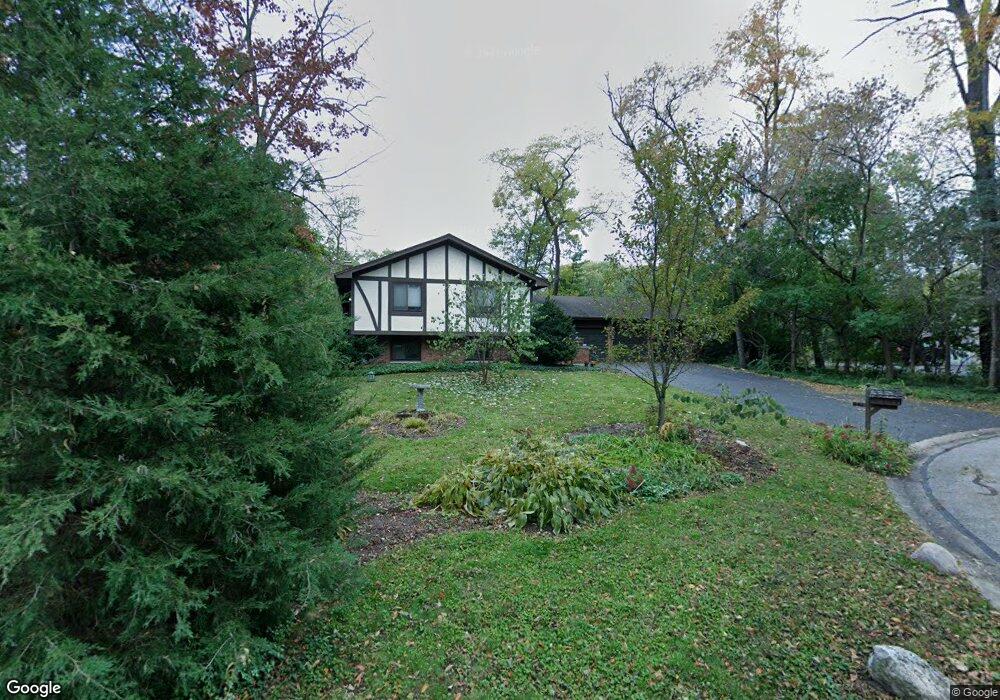
566 Windsor Ln Batavia, IL 60510
Northwest Batavia NeighborhoodEstimated Value: $432,848 - $460,000
3
Beds
--
Bath
1,668
Sq Ft
$270/Sq Ft
Est. Value
About This Home
This home is located at 566 Windsor Ln, Batavia, IL 60510 and is currently estimated at $450,712, approximately $270 per square foot. 566 Windsor Ln is a home located in Kane County with nearby schools including H C Storm Elementary School, Sam Rotolo Middle School, and Batavia Sr High School.
Ownership History
Date
Name
Owned For
Owner Type
Purchase Details
Closed on
Jun 29, 1905
Sold by
Henley Loren B and Henley Wanda I
Bought by
Hanna James A and Hanna Nancy Neil
Current Estimated Value
Home Financials for this Owner
Home Financials are based on the most recent Mortgage that was taken out on this home.
Original Mortgage
$195,200
Interest Rate
7.9%
Create a Home Valuation Report for This Property
The Home Valuation Report is an in-depth analysis detailing your home's value as well as a comparison with similar homes in the area
Home Values in the Area
Average Home Value in this Area
Purchase History
| Date | Buyer | Sale Price | Title Company |
|---|---|---|---|
| Hanna James A | $244,000 | Fox Title Company |
Source: Public Records
Mortgage History
| Date | Status | Borrower | Loan Amount |
|---|---|---|---|
| Previous Owner | Hanna James A | $195,200 |
Source: Public Records
Tax History Compared to Growth
Tax History
| Year | Tax Paid | Tax Assessment Tax Assessment Total Assessment is a certain percentage of the fair market value that is determined by local assessors to be the total taxable value of land and additions on the property. | Land | Improvement |
|---|---|---|---|---|
| 2024 | $9,047 | $130,423 | $38,281 | $92,142 |
| 2023 | $8,785 | $118,373 | $34,744 | $83,629 |
| 2022 | $6,689 | $110,629 | $32,471 | $78,158 |
| 2021 | $6,791 | $104,922 | $30,796 | $74,126 |
| 2020 | $6,760 | $102,905 | $30,204 | $72,701 |
| 2019 | $6,908 | $99,262 | $29,135 | $70,127 |
| 2018 | $6,912 | $95,481 | $28,025 | $67,456 |
| 2017 | $7,420 | $92,333 | $27,101 | $65,232 |
| 2016 | $7,058 | $89,644 | $26,312 | $63,332 |
| 2015 | -- | $87,603 | $25,713 | $61,890 |
| 2014 | -- | $84,846 | $24,904 | $59,942 |
| 2013 | -- | $89,294 | $30,522 | $58,772 |
Source: Public Records
Map
Nearby Homes
- 125 N Jackson St
- 123 N Jefferson St
- 705 W Fabyan Pkwy
- 605 W Fabyan Pkwy
- 109 N Van Nortwick Ave
- 250 N Batavia Ave
- 103 N Van Nortwick Ave
- Vista Plan at Ashton Ridge
- Bowman Plan at Ashton Ridge - Towns
- Park Place Plan at Ashton Ridge
- Boardwalk Plan at Ashton Ridge
- Fifth Avenue Plan at Ashton Ridge
- Woodward Plan at Ashton Ridge
- 950 Houston St
- 1075 Houston St Unit 89002
- 1067 Houston St Unit 89004
- 1071 Houston St Unit 89003
- 1058 Houston St Unit 74003
- 918 Houston St
- 934 Houston St
- 560 Windsor Ln
- 572 Windsor Ln
- 619 Maple Ln
- 631 Maple Ln
- 558 Waubonsee Trail
- 570 Waubonsee Trail
- 578 Windsor Ln
- 554 Windsor Ln
- 607 Maple Ln
- 546 Waubonsee Trail
- 641 Maple Ln Unit 2
- 620 Waubonsee Trail
- 608 Waubonsee Trail
- 528 Republic Rd
- 548 Windsor Ln
- 538 Republic Rd
- 543 Maple Ln
- 516 Republic Rd
- 534 Waubonsee Trail
- 548 Republic Rd