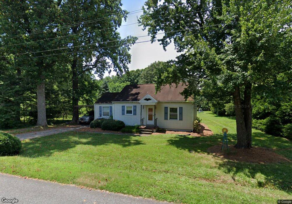
566 Wright Rd Kernersville, NC 27284
Woodbridge NeighborhoodEstimated Value: $207,000 - $214,000
2
Beds
2
Baths
1,136
Sq Ft
$185/Sq Ft
Est. Value
About This Home
This home is located at 566 Wright Rd, Kernersville, NC 27284 and is currently estimated at $209,613, approximately $184 per square foot. 566 Wright Rd is a home located in Forsyth County with nearby schools including Cash Elementary, East Forsyth Middle, and East Forsyth High School.
Ownership History
Date
Name
Owned For
Owner Type
Purchase Details
Closed on
Dec 27, 2010
Sold by
Barreau Deborah Rohath and Barreau Richard L
Bought by
Warren Brandon and Sorrell Amanda
Current Estimated Value
Home Financials for this Owner
Home Financials are based on the most recent Mortgage that was taken out on this home.
Original Mortgage
$87,617
Outstanding Balance
$59,054
Interest Rate
4.62%
Mortgage Type
FHA
Estimated Equity
$150,559
Create a Home Valuation Report for This Property
The Home Valuation Report is an in-depth analysis detailing your home's value as well as a comparison with similar homes in the area
Home Values in the Area
Average Home Value in this Area
Purchase History
| Date | Buyer | Sale Price | Title Company |
|---|---|---|---|
| Warren Brandon | $90,000 | Chicago Title Insurance Co |
Source: Public Records
Mortgage History
| Date | Status | Borrower | Loan Amount |
|---|---|---|---|
| Open | Warren Brandon | $87,617 |
Source: Public Records
Tax History
| Year | Tax Paid | Tax Assessment Tax Assessment Total Assessment is a certain percentage of the fair market value that is determined by local assessors to be the total taxable value of land and additions on the property. | Land | Improvement |
|---|---|---|---|---|
| 2025 | $1,216 | $171,700 | $58,000 | $113,700 |
| 2024 | $1,194 | $88,300 | $38,000 | $50,300 |
| 2023 | $1,194 | $88,300 | $38,000 | $50,300 |
| 2022 | $1,184 | $88,300 | $38,000 | $50,300 |
| 2021 | $1,184 | $88,300 | $38,000 | $50,300 |
| 2020 | $1,132 | $79,200 | $27,500 | $51,700 |
| 2019 | $1,140 | $79,200 | $27,500 | $51,700 |
| 2018 | $1,116 | $79,200 | $27,500 | $51,700 |
| 2016 | $1,127 | $81,129 | $32,500 | $48,629 |
Source: Public Records
Map
Nearby Homes
- 535 Trillium Place
- 528 Wright Rd
- 101 Stanley Farm Rd
- 479 Hopkins Rd
- 423 Lagerfield Ct
- 5664 Regents Park Rd
- 6003 Red Oak Ct
- 765 Robbins Perch Trail
- 5736 Brightington Ct
- 2231 Pisgah Church Rd
- 5909 Crossview Dr
- 1342 Driftwood Acres Dr
- 731 Barrington Park Cir
- 5928 Woodfield Dr
- 4721 Weston Brooke Trail
- 0 Weston Brooke Trail
- 2389 Robbins Perch Ct W
- 4761 Weston Brooke Trail
- 487 Raven Ridge Dr
- 2171 Castle Stone Ct
Your Personal Tour Guide
Ask me questions while you tour the home.