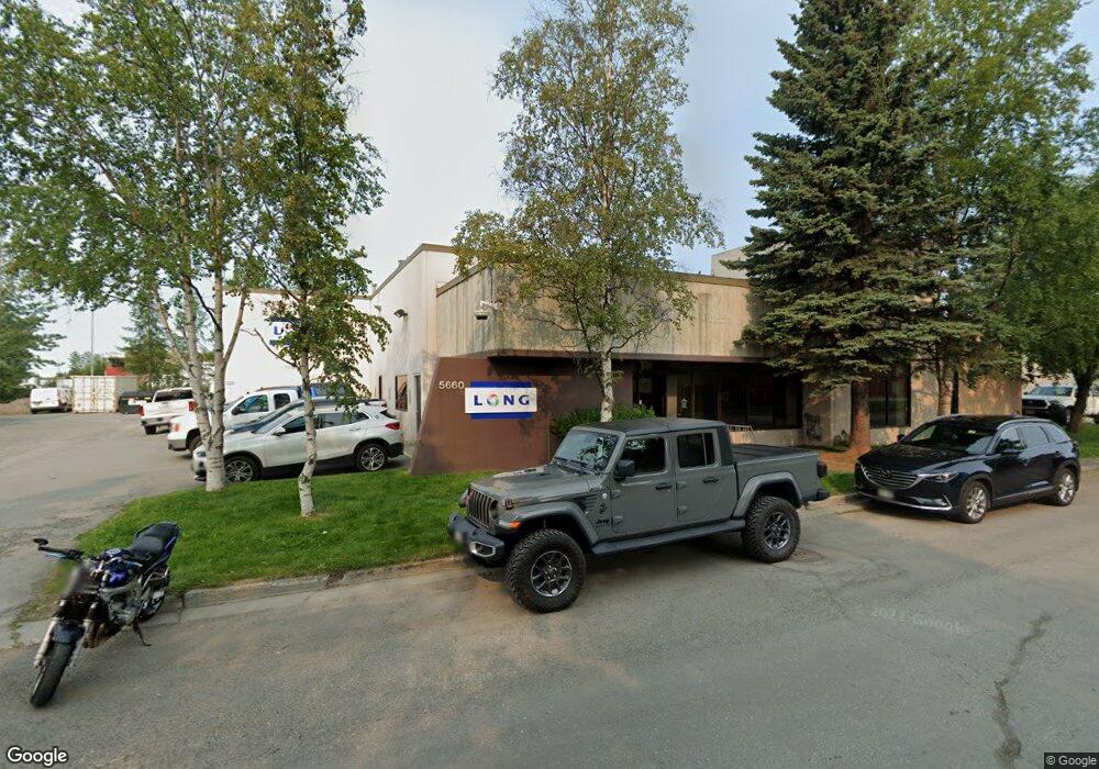
5660 B St Anchorage, AK 99518
Taku-Campbell NeighborhoodEstimated Value: $1,071,321
Studio
--
Bath
7,552
Sq Ft
$142/Sq Ft
Est. Value
About This Home
This home is located at 5660 B St, Anchorage, AK 99518 and is currently estimated at $1,071,321, approximately $141 per square foot. 5660 B St is a home located in Anchorage Municipality with nearby schools including Taku Elementary School, Romig Middle School, and West High School.
Ownership History
Date
Name
Owned For
Owner Type
Purchase Details
Closed on
Nov 16, 2022
Sold by
Dial One Llc
Bought by
Last 1 Llc
Current Estimated Value
Home Financials for this Owner
Home Financials are based on the most recent Mortgage that was taken out on this home.
Original Mortgage
$690,000
Outstanding Balance
$541,052
Interest Rate
7.08%
Estimated Equity
$530,269
Purchase Details
Closed on
May 21, 2007
Sold by
Control Contractors Inc
Bought by
Dial One Llc
Create a Home Valuation Report for This Property
The Home Valuation Report is an in-depth analysis detailing your home's value as well as a comparison with similar homes in the area
Home Values in the Area
Average Home Value in this Area
Purchase History
| Date | Buyer | Sale Price | Title Company |
|---|---|---|---|
| Last 1 Llc | -- | -- | |
| Dial One Llc | -- | None Available |
Source: Public Records
Mortgage History
| Date | Status | Borrower | Loan Amount |
|---|---|---|---|
| Open | Last 1 Llc | $690,000 |
Source: Public Records
Tax History
| Year | Tax Paid | Tax Assessment Tax Assessment Total Assessment is a certain percentage of the fair market value that is determined by local assessors to be the total taxable value of land and additions on the property. | Land | Improvement |
|---|---|---|---|---|
| 2025 | $14,708 | $1,041,000 | $213,400 | $827,600 |
| 2024 | $14,708 | $911,000 | $213,400 | $697,600 |
| 2023 | $14,811 | $869,700 | $205,300 | $664,400 |
| 2022 | $14,292 | $848,700 | $199,900 | $648,800 |
| 2021 | $15,414 | $855,400 | $195,900 | $659,500 |
| 2020 | $14,477 | $851,600 | $192,100 | $659,500 |
| 2019 | $13,935 | $851,800 | $188,200 | $663,600 |
| 2018 | $13,587 | $828,500 | $188,200 | $640,300 |
| 2017 | $12,777 | $815,900 | $188,200 | $627,700 |
| 2016 | $12,646 | $798,100 | $188,200 | $609,900 |
| 2015 | $12,646 | $872,800 | $188,200 | $684,600 |
| 2014 | $12,646 | $846,600 | $188,200 | $658,400 |
Source: Public Records
Map
Nearby Homes
- N/A Silverado Tract 2a
- 6243 Eula St
- 311 Lynnwood Dr Unit 4
- 000 Business Park Blvd
- 4810 C St
- 420 E 46th Place
- 5003 Buckingham Way
- 1200 Southampton Dr
- 638 King Arthur Cir Unit F06
- 102 Sweetgale Ct Unit 102
- 6405 Old Seward Hwy
- 300 W Tudor Rd
- 6901 Cheryl St
- 501 Nathan Dr Unit 5
- 4101 Credit Union Dr
- 7000 Chad St
- 7827 Old Seward Hwy
- 638 W 74th Ave
- 4207 Cope St
- 639 W 75th Ave
Your Personal Tour Guide
Ask me questions while you tour the home.