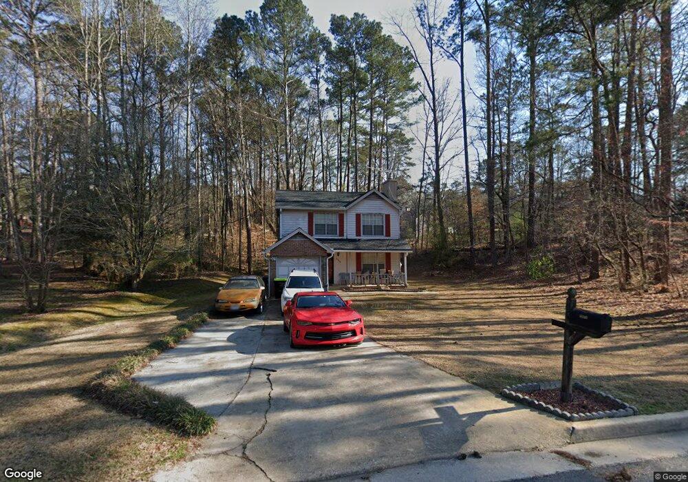
5660 Rock Rd Unit 4 Union City, GA 30291
Estimated Value: $214,000 - $247,000
3
Beds
2
Baths
1,200
Sq Ft
$190/Sq Ft
Est. Value
About This Home
This home is located at 5660 Rock Rd Unit 4, Union City, GA 30291 and is currently estimated at $227,448, approximately $189 per square foot. 5660 Rock Rd Unit 4 is a home located in Fulton County with nearby schools including Liberty Point Elementary School, Camp Creek Middle School, and Langston Hughes High School.
Ownership History
Date
Name
Owned For
Owner Type
Purchase Details
Closed on
Aug 26, 1999
Sold by
Sec Of Hud
Bought by
Barber Edith S
Current Estimated Value
Home Financials for this Owner
Home Financials are based on the most recent Mortgage that was taken out on this home.
Original Mortgage
$70,814
Outstanding Balance
$21,107
Interest Rate
7.89%
Mortgage Type
New Conventional
Estimated Equity
$206,341
Purchase Details
Closed on
Aug 4, 1998
Sold by
Bank United
Bought by
Secretary and Secretary Hud
Create a Home Valuation Report for This Property
The Home Valuation Report is an in-depth analysis detailing your home's value as well as a comparison with similar homes in the area
Home Values in the Area
Average Home Value in this Area
Purchase History
| Date | Buyer | Sale Price | Title Company |
|---|---|---|---|
| Barber Edith S | -- | -- | |
| Secretary | -- | -- | |
| Bank United | $69,822 | -- |
Source: Public Records
Mortgage History
| Date | Status | Borrower | Loan Amount |
|---|---|---|---|
| Open | Barber Edith S | $70,814 |
Source: Public Records
Tax History Compared to Growth
Tax History
| Year | Tax Paid | Tax Assessment Tax Assessment Total Assessment is a certain percentage of the fair market value that is determined by local assessors to be the total taxable value of land and additions on the property. | Land | Improvement |
|---|---|---|---|---|
| 2025 | $997 | $64,080 | $18,600 | $45,480 |
| 2023 | $1,954 | $69,240 | $21,720 | $47,520 |
| 2022 | $1,262 | $47,960 | $14,040 | $33,920 |
| 2021 | $979 | $36,080 | $8,720 | $27,360 |
| 2020 | $992 | $35,680 | $8,640 | $27,040 |
| 2019 | $1,127 | $26,680 | $6,160 | $20,520 |
| 2018 | $594 | $21,040 | $3,360 | $17,680 |
| 2017 | $614 | $21,040 | $3,360 | $17,680 |
| 2016 | $717 | $24,560 | $5,400 | $19,160 |
| 2015 | $1,105 | $24,560 | $5,400 | $19,160 |
| 2014 | $451 | $14,720 | $2,200 | $12,520 |
Source: Public Records
Map
Nearby Homes
- 5910 Rock Rd
- 0 Lakeside Dr Unit 22475152
- 0 Lakeside Dr Unit 7515650
- 5856 Rock Rd
- 3227 Diamond Bluff
- 0 Lower Dixie Lake Rd Unit 22475153
- 0 Lower Dixie Lake Rd Unit 7515143
- 6024 Diamond Ln
- 6000 Diamond Ln
- 0 Highpoint Rd Unit 10553938
- 4695 Ravenwood Loop
- 000 Highpoint Rd
- 99 Highpoint Rd
- 5900 Union Woods Way
- 4605 Ravenwood Loop
- 4611 Ravenwood Loop
- 6200 Ward Rd
- 4615 Ravenwood Loop
- 5640 Rock Rd
- 5680 Rock Rd
- 6006 Kings Ct
- 5953 Armour Dr Unit 1
- 6009 Kings Ct
- 5643 Rock Rd
- 5963 Armour Dr
- 5996 Kings Ct
- 5695 Liberty Rd
- 5633 Rock Rd
- 5942 Armour Dr
- 5667 Rock Rd Unit 5667
- 5667 Rock Rd
- 0 Armour Dr NE Unit 8384356
- 0 Armour Dr NE Unit 3265414
- 0 Armour Dr NE
- 5999 Kings Ct
- 6341 Wellington Dr
- 5973 Armour Dr
- 5687 Liberty Rd