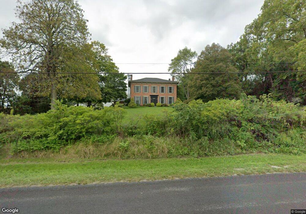
5661 Old Route 70 Springfield, OH 45502
Estimated Value: $351,000 - $522,000
3
Beds
3
Baths
3,632
Sq Ft
$123/Sq Ft
Est. Value
About This Home
This home is located at 5661 Old Route 70, Springfield, OH 45502 and is currently estimated at $448,530, approximately $123 per square foot. 5661 Old Route 70 is a home located in Clark County with nearby schools including Northeastern Elementary School and Twin Oaks Sda Elementary School.
Ownership History
Date
Name
Owned For
Owner Type
Purchase Details
Closed on
Sep 30, 2020
Sold by
Delaney Pamela and Delaney Rick
Bought by
Podolski James and Podolski Pamela
Current Estimated Value
Home Financials for this Owner
Home Financials are based on the most recent Mortgage that was taken out on this home.
Original Mortgage
$259,920
Outstanding Balance
$229,085
Interest Rate
2.9%
Mortgage Type
New Conventional
Estimated Equity
$219,445
Create a Home Valuation Report for This Property
The Home Valuation Report is an in-depth analysis detailing your home's value as well as a comparison with similar homes in the area
Purchase History
| Date | Buyer | Sale Price | Title Company |
|---|---|---|---|
| Podolski James | $324,900 | Partners Land Title |
Source: Public Records
Mortgage History
| Date | Status | Borrower | Loan Amount |
|---|---|---|---|
| Open | Podolski James | $259,920 |
Source: Public Records
Tax History
| Year | Tax Paid | Tax Assessment Tax Assessment Total Assessment is a certain percentage of the fair market value that is determined by local assessors to be the total taxable value of land and additions on the property. | Land | Improvement |
|---|---|---|---|---|
| 2025 | $4,188 | $127,290 | $19,400 | $107,890 |
| 2024 | $4,188 | $105,030 | $15,900 | $89,130 |
| 2023 | $4,047 | $105,030 | $15,900 | $89,130 |
| 2022 | $4,056 | $105,030 | $15,900 | $89,130 |
| 2021 | $3,251 | $75,030 | $11,360 | $63,670 |
| 2020 | $3,261 | $75,030 | $11,360 | $63,670 |
| 2019 | $3,305 | $75,030 | $11,360 | $63,670 |
| 2018 | $3,225 | $74,510 | $10,330 | $64,180 |
| 2017 | $3,214 | $74,508 | $10,325 | $64,183 |
| 2016 | $3,181 | $74,508 | $10,325 | $64,183 |
| 2015 | $3,277 | $74,508 | $10,325 | $64,183 |
| 2014 | $3,275 | $74,508 | $10,325 | $64,183 |
| 2013 | $3,279 | $74,508 | $10,325 | $64,183 |
Source: Public Records
Map
Nearby Homes
- 2800 Craig Rd
- 2212 Ridge Rd
- 2164 Ridge Rd
- 0 Fletcher Chapel Rd Unit 1042048
- 5210 Kerns Rd
- 5073 Kerns Rd
- 5143 E Pitchin Rd
- 414 S Landon Ln
- 413 S Landon Ln
- 410 S Landon Ln
- 407 S Landon Ln
- 405 S Landon Ln
- Emmett Plan at Melody Parks - Designer Collection
- Carrington Plan at Melody Parks - Designer Collection
- Wyatt Plan at Melody Parks - Designer Collection
- Grandin Plan at Melody Parks - Designer Collection
- Avery Plan at Melody Parks - Designer Collection
- Calvin Plan at Melody Parks - Designer Collection
- Charles Plan at Melody Parks - Designer Collection
- Blair Plan at Melody Parks - Designer Collection
Your Personal Tour Guide
Ask me questions while you tour the home.