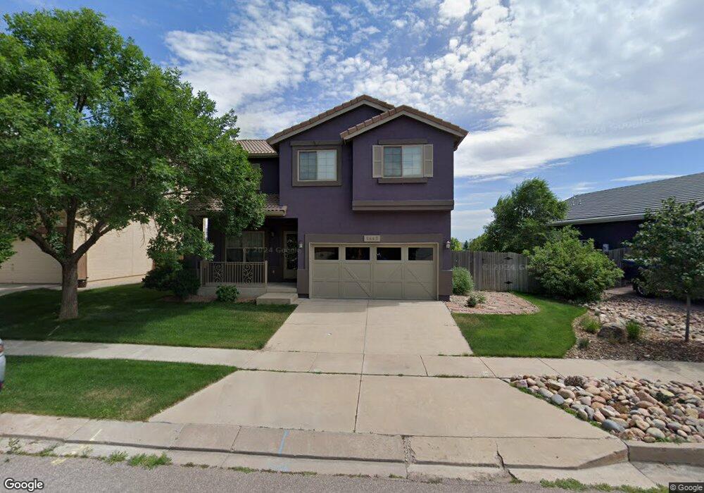
5663 Stable Ct Colorado Springs, CO 80920
Briargate NeighborhoodEstimated Value: $509,000 - $556,000
3
Beds
4
Baths
1,807
Sq Ft
$293/Sq Ft
Est. Value
About This Home
This home is located at 5663 Stable Ct, Colorado Springs, CO 80920 and is currently estimated at $529,350, approximately $292 per square foot. 5663 Stable Ct is a home located in El Paso County with nearby schools including Prairie Hills Elementary School, Timberview Middle School, and Liberty High School.
Ownership History
Date
Name
Owned For
Owner Type
Purchase Details
Closed on
Apr 30, 1998
Sold by
Saddletree Homes Llc
Bought by
Rollman Vincent E and Rollman Myong Ae
Current Estimated Value
Home Financials for this Owner
Home Financials are based on the most recent Mortgage that was taken out on this home.
Original Mortgage
$160,450
Outstanding Balance
$31,078
Interest Rate
7%
Mortgage Type
VA
Estimated Equity
$498,272
Create a Home Valuation Report for This Property
The Home Valuation Report is an in-depth analysis detailing your home's value as well as a comparison with similar homes in the area
Home Values in the Area
Average Home Value in this Area
Purchase History
| Date | Buyer | Sale Price | Title Company |
|---|---|---|---|
| Rollman Vincent E | $157,957 | Land Title |
Source: Public Records
Mortgage History
| Date | Status | Borrower | Loan Amount |
|---|---|---|---|
| Open | Rollman Vincent E | $160,450 |
Source: Public Records
Tax History Compared to Growth
Tax History
| Year | Tax Paid | Tax Assessment Tax Assessment Total Assessment is a certain percentage of the fair market value that is determined by local assessors to be the total taxable value of land and additions on the property. | Land | Improvement |
|---|---|---|---|---|
| 2025 | $2,013 | $33,850 | -- | -- |
| 2024 | $1,973 | $35,140 | $5,360 | $29,780 |
| 2023 | $1,973 | $35,140 | $5,360 | $29,780 |
| 2022 | $1,728 | $24,480 | $4,340 | $20,140 |
| 2021 | $1,910 | $25,180 | $4,460 | $20,720 |
| 2020 | $1,889 | $23,210 | $3,720 | $19,490 |
| 2019 | $1,870 | $23,210 | $3,720 | $19,490 |
| 2018 | $1,597 | $19,500 | $2,880 | $16,620 |
| 2017 | $1,592 | $19,500 | $2,880 | $16,620 |
| 2016 | $1,609 | $19,690 | $2,930 | $16,760 |
| 2015 | $1,606 | $19,690 | $2,930 | $16,760 |
| 2014 | $1,531 | $18,750 | $2,930 | $15,820 |
Source: Public Records
Map
Nearby Homes
- 8077 Radcliff Dr
- 8017 Radcliff Dr
- 7543 Potomac Dr
- 5305 Plumstead Dr
- 8352 James Creek Dr
- 8405 Andrus Dr
- 5026 Plumstead Dr
- 8313 Scarborough Dr
- 7975 Manston Dr
- 5109 Oyster Bay Dr
- 5408 Cushing Grove
- 5414 Cushing Grove
- 5426 Cushing Grove
- 8688 Eckberg Heights
- 5002 Herndon Cir
- 8728 Eckberg Heights
- 8372 Wilmington Dr
- 5947 Cumbre Vista Way
- 8760 Eckberg Heights
- 7775 Manston Dr
- 5669 Stable Ct
- 5651 Stable Ct
- 5675 Stable Ct
- 5681 Stable Ct
- 5662 Stable Ct
- 5656 Stable Ct
- 5668 Stable Ct
- 5650 Stable Ct
- 5674 Stable Ct
- 5687 Stable Ct
- 7613 Potomac Dr
- 7617 Potomac Dr
- 7609 Potomac Dr
- 5680 Stable Ct
- 5693 Stable Ct
- 7625 Potomac Dr
- 7605 Potomac Dr
- 8090 Radcliff Dr
- 8084 Radcliff Dr
- 5686 Stable Ct