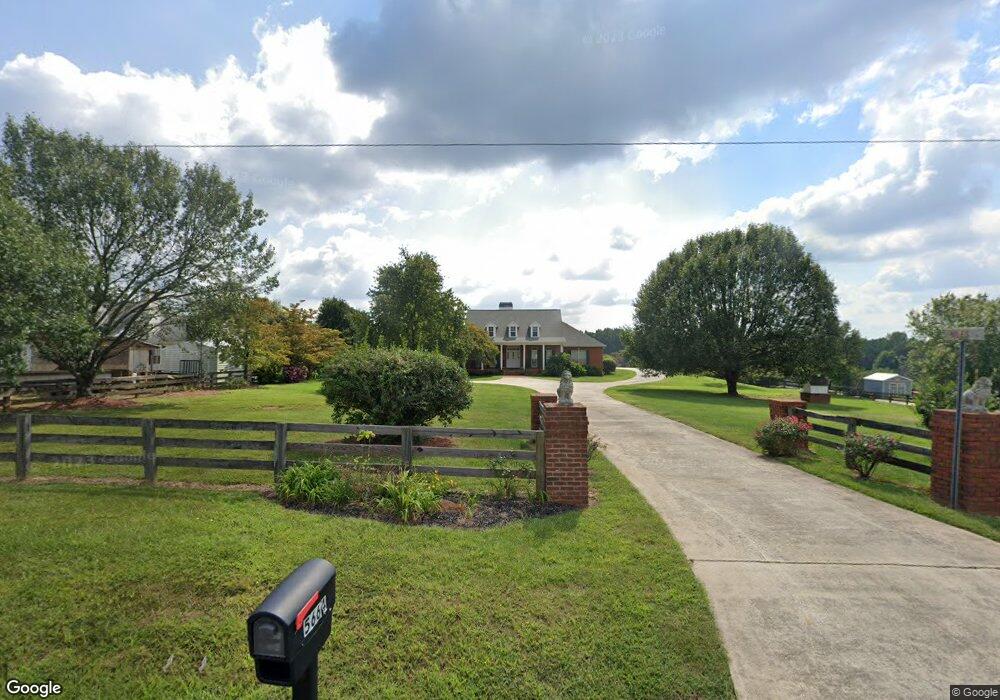
5664 Ransom Free Rd Clermont, GA 30527
Estimated Value: $579,720 - $664,000
3
Beds
3
Baths
2,587
Sq Ft
$237/Sq Ft
Est. Value
About This Home
This home is located at 5664 Ransom Free Rd, Clermont, GA 30527 and is currently estimated at $612,573, approximately $236 per square foot. 5664 Ransom Free Rd is a home with nearby schools including Wauka Mountain Elementary School, North Hall Middle School, and North Hall High School.
Ownership History
Date
Name
Owned For
Owner Type
Purchase Details
Closed on
Dec 13, 2012
Sold by
Niles Adrian S
Bought by
Niles Linda W
Current Estimated Value
Home Financials for this Owner
Home Financials are based on the most recent Mortgage that was taken out on this home.
Original Mortgage
$159,000
Outstanding Balance
$110,213
Interest Rate
3.38%
Mortgage Type
New Conventional
Estimated Equity
$502,360
Purchase Details
Closed on
Aug 8, 1996
Sold by
Truelove James David
Bought by
Niles Adrian S Linda
Create a Home Valuation Report for This Property
The Home Valuation Report is an in-depth analysis detailing your home's value as well as a comparison with similar homes in the area
Home Values in the Area
Average Home Value in this Area
Purchase History
| Date | Buyer | Sale Price | Title Company |
|---|---|---|---|
| Niles Linda W | -- | -- | |
| Niles Adrian S Linda | $27,400 | -- |
Source: Public Records
Mortgage History
| Date | Status | Borrower | Loan Amount |
|---|---|---|---|
| Open | Niles Linda W | $159,000 | |
| Closed | Niles Linda W | $159,000 |
Source: Public Records
Tax History Compared to Growth
Tax History
| Year | Tax Paid | Tax Assessment Tax Assessment Total Assessment is a certain percentage of the fair market value that is determined by local assessors to be the total taxable value of land and additions on the property. | Land | Improvement |
|---|---|---|---|---|
| 2024 | $5,123 | $206,520 | $38,520 | $168,000 |
| 2023 | $2,200 | $193,560 | $38,520 | $155,040 |
| 2022 | $3,851 | $148,720 | $13,200 | $135,520 |
| 2021 | $3,798 | $144,000 | $13,200 | $130,800 |
| 2020 | $3,760 | $138,520 | $13,200 | $125,320 |
| 2019 | $3,637 | $132,760 | $13,200 | $119,560 |
| 2018 | $3,692 | $130,473 | $10,800 | $119,673 |
| 2017 | $3,653 | $130,473 | $10,800 | $119,673 |
| 2016 | $3,565 | $130,473 | $10,800 | $119,673 |
| 2015 | $3,594 | $130,473 | $10,800 | $119,673 |
| 2014 | $3,594 | $130,473 | $10,800 | $119,673 |
Source: Public Records
Map
Nearby Homes
- 5722 Crystal
- 5649 Bradley Ln
- 5519 Cleveland Hwy
- 6223 Hulsey Rd
- 5814 Gailey Dr
- 6708 Clermont Hwy
- 6310 Green Mountain Ln
- 6632 Mountain Meadow Dr
- 5746 Avalon Commons Way
- 5821 Abbey View Ct
- 6618 Kenimer Rd
- 5231 Dahlonega Hwy
- 6217 Green Mountain Ln
- 239 Brown Dr
- 455 Long Mountain Ct
- 2856 Woodbriar Dr
- 5812 Claybrook Ct
- 5670 Ransom Free Rd
- 5656 Ransom Free Rd
- 5680 Ransom Free Rd
- 5663 Ransom Free Rd
- 5700 Ransom Free Rd
- 5659 Ransom Free Rd
- 5648 Ransom Free Rd
- 5652 Ransom Free Rd
- 5612 Little Branch Cir
- 5669 Ransom Free Rd Unit 3232
- 5865 Frank Gailey Rd
- 5644 Ransom Free Rd
- 5615 Little Branch Cir
- 5864 Frank Gailey Rd
- 5638 Ransom Free Rd
- 5618 Little Branch Cir
- 5653 Ransom Free Rd
- 5820 Sweetbottom Ln Unit 10
- 5824 Sweetbottom Ln
- 5816 Sweetbottom Ln