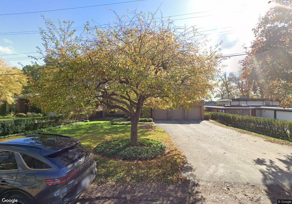
5665 Forman Dr Bloomfield Hills, MI 48301
Estimated Value: $1,442,000 - $2,837,000
5
Beds
7
Baths
4,703
Sq Ft
$431/Sq Ft
Est. Value
About This Home
This home is located at 5665 Forman Dr, Bloomfield Hills, MI 48301 and is currently estimated at $2,029,156, approximately $431 per square foot. 5665 Forman Dr is a home located in Oakland County with nearby schools including Conant Elementary School, South Hills Middle School, and Bloomfield Hills High School.
Ownership History
Date
Name
Owned For
Owner Type
Purchase Details
Closed on
Mar 30, 2017
Sold by
Deutch Singer Lenore and Singer Alan
Bought by
Lenore S Deutch Revocable Trust
Current Estimated Value
Purchase Details
Closed on
Jan 17, 2003
Sold by
Deutch Singer Lenore and Singer Alan
Bought by
Lenore Deutch Revocable Trust
Purchase Details
Closed on
Jan 16, 2003
Sold by
Lenore Deutch Revocable Trust and Deutch Lenore
Bought by
Deutch Singer Lenore
Purchase Details
Closed on
Feb 19, 1996
Sold by
Deutch Lenore S
Bought by
Lenore S Deutch Tr
Create a Home Valuation Report for This Property
The Home Valuation Report is an in-depth analysis detailing your home's value as well as a comparison with similar homes in the area
Home Values in the Area
Average Home Value in this Area
Purchase History
| Date | Buyer | Sale Price | Title Company |
|---|---|---|---|
| Lenore S Deutch Revocable Trust | -- | None Available | |
| Lenore Deutch Revocable Trust | -- | -- | |
| Deutch Singer Lenore | -- | Title Giant | |
| Lenore S Deutch Tr | -- | -- |
Source: Public Records
Tax History Compared to Growth
Tax History
| Year | Tax Paid | Tax Assessment Tax Assessment Total Assessment is a certain percentage of the fair market value that is determined by local assessors to be the total taxable value of land and additions on the property. | Land | Improvement |
|---|---|---|---|---|
| 2024 | $11,021 | $1,057,090 | $0 | $0 |
| 2023 | $10,665 | $1,021,320 | $0 | $0 |
| 2022 | $18,905 | $903,490 | $0 | $0 |
| 2021 | $18,717 | $850,920 | $0 | $0 |
| 2020 | $9,175 | $775,350 | $0 | $0 |
| 2019 | $17,612 | $781,820 | $0 | $0 |
| 2018 | $17,692 | $734,710 | $0 | $0 |
| 2017 | $17,565 | $727,660 | $0 | $0 |
| 2016 | $17,598 | $714,710 | $0 | $0 |
| 2015 | -- | $655,930 | $0 | $0 |
| 2014 | -- | $563,050 | $0 | $0 |
| 2011 | -- | $424,690 | $0 | $0 |
Source: Public Records
Map
Nearby Homes
- 4597 Broughton Dr
- 1651 Hoit Tower Dr
- 5611 Priory Ln
- 5340 Franklin Rd
- 4603 Hedgewood Dr
- 6041 Eastmoor Rd
- 5897 Sutters Ln
- 5361 Echo Rd
- 5190 Clarendon Crest St
- 5605 Woodwind Dr
- 5148 Crest Knolls Ct
- 4456 W Maple Rd
- 4776 Walnut Lake Rd
- 6701 Franklin Rd
- 1715 Lone Pine Rd
- 4783 Quarton Rd
- 5630 S Adams Way
- 750 Trailwood Path Unit B
- 450 Billingsgate Ct Unit C
- 1760 Trailwood Path
- 5685 Forman Dr Unit Bldg-Unit
- 5685 Forman Dr
- 5645 Forman Dr
- 5635 Forman Dr
- 5670 Forman Dr
- 5640 Forman Dr
- 5690 Forman Dr
- 5625 Forman Dr
- 5715 Forman Dr
- 5698 Forman Dr
- 5570 Forman Dr Unit Bldg-Unit
- 5570 Forman Dr
- 5675 Forman Dr
- 4395 Oak Grove Dr
- 5655 Forman Dr
- 5575 Franklin Rd
- 5695 Forman Dr
- 5705 Forman Dr
- 5565 Forman Dr
- 5550 Forman Dr