5665 Lind Rd Deming, WA 98244
Estimated Value: $386,000 - $589,000
2
Beds
1
Bath
994
Sq Ft
$490/Sq Ft
Est. Value
About This Home
This home is located at 5665 Lind Rd, Deming, WA 98244 and is currently estimated at $487,489, approximately $490 per square foot. 5665 Lind Rd is a home located in Whatcom County with nearby schools including Mount Baker Senior High School.
Ownership History
Date
Name
Owned For
Owner Type
Purchase Details
Closed on
Nov 16, 2003
Sold by
Walker Johni
Bought by
Walker Johni and Walker Catherine
Current Estimated Value
Purchase Details
Closed on
Sep 24, 2001
Sold by
Walker Catherine
Bought by
Walker Johni
Home Financials for this Owner
Home Financials are based on the most recent Mortgage that was taken out on this home.
Original Mortgage
$88,500
Interest Rate
6.49%
Create a Home Valuation Report for This Property
The Home Valuation Report is an in-depth analysis detailing your home's value as well as a comparison with similar homes in the area
Home Values in the Area
Average Home Value in this Area
Purchase History
| Date | Buyer | Sale Price | Title Company |
|---|---|---|---|
| Walker Johni | -- | Chicago Title Insurance Co | |
| Walker Johni | -- | Chicago Title Insurance |
Source: Public Records
Mortgage History
| Date | Status | Borrower | Loan Amount |
|---|---|---|---|
| Closed | Walker Johni | $88,500 |
Source: Public Records
Tax History Compared to Growth
Tax History
| Year | Tax Paid | Tax Assessment Tax Assessment Total Assessment is a certain percentage of the fair market value that is determined by local assessors to be the total taxable value of land and additions on the property. | Land | Improvement |
|---|---|---|---|---|
| 2024 | $2,319 | $309,169 | $192,673 | $116,496 |
| 2023 | $2,319 | $309,169 | $192,673 | $116,496 |
| 2022 | $2,289 | $303,107 | $188,895 | $114,212 |
| 2021 | $1,972 | $233,163 | $145,306 | $87,857 |
| 2020 | $1,820 | $189,557 | $118,131 | $71,426 |
| 2019 | $1,840 | $167,010 | $104,080 | $62,930 |
| 2018 | $2,082 | $184,606 | $129,774 | $54,832 |
| 2017 | $1,883 | $163,863 | $115,192 | $48,671 |
| 2016 | $1,930 | $163,863 | $115,192 | $48,671 |
| 2015 | $1,879 | $163,863 | $115,192 | $48,671 |
| 2014 | -- | $153,839 | $108,145 | $45,694 |
| 2013 | -- | $145,268 | $102,120 | $43,148 |
Source: Public Records
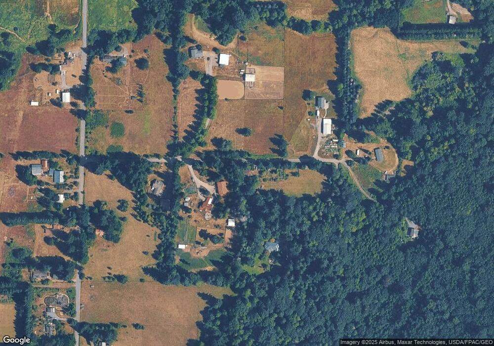
Map
Nearby Homes
- 5718 Schornbush Rd
- 4086 Valley Hwy
- 4120 Valley Hwy
- 0 Mt Baker Hwy Unit NWM2371192
- 0 Mt Baker Hwy Unit NWM2230071
- 5458 Mount Baker Hwy
- 7019 Mount Baker Hwy
- 5860 Bell Creek Logging Rd
- 4290 Mt Baker Hwy
- 3505 E Smith Rd
- 0 Hoff Cir
- 3100 Mt Baker Hwy
- 5947 Lawrence Rd
- 5656 Doran Rd
- 2940 Northshore Rd
- 3025 E Smith Rd
- 2802 Mount Baker Hwy
- 5196 Sand Rd
- 5544 Sand Rd
- 104 Grand View Ln