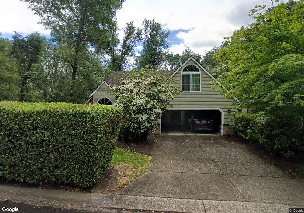
5666 Charles Cir Lake Oswego, OR 97035
Westlake NeighborhoodEstimated Value: $998,655 - $1,282,000
3
Beds
3
Baths
2,807
Sq Ft
$416/Sq Ft
Est. Value
About This Home
This home is located at 5666 Charles Cir, Lake Oswego, OR 97035 and is currently estimated at $1,168,164, approximately $416 per square foot. 5666 Charles Cir is a home located in Clackamas County with nearby schools including Lake Grove Elementary School, Lake Oswego Junior High School, and Lake Oswego Senior High School.
Ownership History
Date
Name
Owned For
Owner Type
Purchase Details
Closed on
Aug 1, 1992
Bought by
Miller Jeffrey S and Crow Constance S
Current Estimated Value
Create a Home Valuation Report for This Property
The Home Valuation Report is an in-depth analysis detailing your home's value as well as a comparison with similar homes in the area
Home Values in the Area
Average Home Value in this Area
Purchase History
| Date | Buyer | Sale Price | Title Company |
|---|---|---|---|
| Miller Jeffrey S | -- | -- |
Source: Public Records
Tax History Compared to Growth
Tax History
| Year | Tax Paid | Tax Assessment Tax Assessment Total Assessment is a certain percentage of the fair market value that is determined by local assessors to be the total taxable value of land and additions on the property. | Land | Improvement |
|---|---|---|---|---|
| 2025 | $10,270 | $534,772 | -- | -- |
| 2024 | $9,996 | $519,197 | -- | -- |
| 2023 | $9,996 | $504,075 | $0 | $0 |
| 2022 | $9,414 | $489,394 | $0 | $0 |
| 2021 | $8,277 | $452,275 | $0 | $0 |
| 2020 | $8,069 | $439,102 | $0 | $0 |
| 2019 | $7,870 | $426,313 | $0 | $0 |
| 2018 | $7,485 | $413,896 | $0 | $0 |
| 2017 | $7,222 | $401,841 | $0 | $0 |
| 2016 | $6,575 | $390,137 | $0 | $0 |
| 2015 | $6,352 | $378,774 | $0 | $0 |
| 2014 | $6,270 | $367,742 | $0 | $0 |
Source: Public Records
Map
Nearby Homes
- 5665 Bonita Rd
- 5185 Carman Dr
- 5094 Denton Dr
- 5725 Windfield Loop
- 5363 Greystoke Dr
- 5037 Parkhill St
- 15601 Manchester Dr
- 4674 Chelsea Ln
- 5952 Sunbrook Dr
- 15540 Partridge Dr
- 4735 Amherst Ct
- 86 SW Kingsgate Unit 22
- 5010 Park Bluff Place
- 4992 Park Bluff Place
- 5835 Carman Dr
- 4974 Park Bluff Place
- 5767 Baleine St
- 4355 Silver Ct
- 3990 Carman Dr
- 13541 SW 63rd Place
- 5670 Charles Cir
- 5758 Charles Cir
- 5674 Charles Cir
- 5678 Charles Cir
- 5750 Charles Cir
- 5668 Victoria Ct
- 5677 Charles Cir
- 5686 Victoria Ct
- 5682 Charles Cir
- 5746 Charles Cir
- 5650 Victoria Ct
- 5685 Charles Cir
- 5686 Charles Cir
- 5702 Victoria Ct
- 5743 Charles Cir
- 5770 Victoria Ct
- 5752 Victoria Ct
- 5691 Charles Cir
- 5657 Victoria Ct
- 5690 Charles Cir