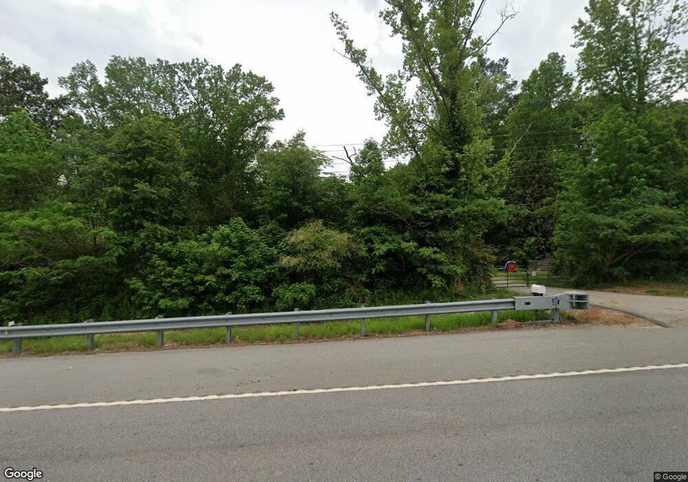
5666 Highway 81 S Covington, GA 30016
Estimated Value: $168,902 - $227,000
2
Beds
1
Bath
1,260
Sq Ft
$155/Sq Ft
Est. Value
About This Home
This home is located at 5666 Highway 81 S, Covington, GA 30016 and is currently estimated at $194,726, approximately $154 per square foot. 5666 Highway 81 S is a home located in Newton County with nearby schools including Oak Hill Elementary School, Veterans Memorial Middle School, and Alcovy High School.
Ownership History
Date
Name
Owned For
Owner Type
Purchase Details
Closed on
Jan 26, 2011
Sold by
Citifinancial Inc
Bought by
Sellars Joseph
Current Estimated Value
Purchase Details
Closed on
Dec 7, 2010
Sold by
Lollar Clara M
Bought by
Citifinancial Inc
Purchase Details
Closed on
Nov 24, 1999
Sold by
Cofield Vicki
Bought by
Lollar Clara M
Home Financials for this Owner
Home Financials are based on the most recent Mortgage that was taken out on this home.
Original Mortgage
$70,450
Interest Rate
7.68%
Mortgage Type
FHA
Create a Home Valuation Report for This Property
The Home Valuation Report is an in-depth analysis detailing your home's value as well as a comparison with similar homes in the area
Home Values in the Area
Average Home Value in this Area
Purchase History
| Date | Buyer | Sale Price | Title Company |
|---|---|---|---|
| Sellars Joseph | $13,900 | -- | |
| Citifinancial Inc | $39,000 | -- | |
| Lollar Clara M | $70,500 | -- |
Source: Public Records
Mortgage History
| Date | Status | Borrower | Loan Amount |
|---|---|---|---|
| Previous Owner | Lollar Clara M | $70,450 |
Source: Public Records
Tax History Compared to Growth
Tax History
| Year | Tax Paid | Tax Assessment Tax Assessment Total Assessment is a certain percentage of the fair market value that is determined by local assessors to be the total taxable value of land and additions on the property. | Land | Improvement |
|---|---|---|---|---|
| 2025 | $1,546 | $62,120 | $8,960 | $53,160 |
| 2024 | $1,449 | $57,200 | $5,920 | $51,280 |
| 2023 | $1,348 | $49,680 | $5,920 | $43,760 |
| 2022 | $1,107 | $40,800 | $5,920 | $34,880 |
| 2021 | $969 | $31,960 | $5,920 | $26,040 |
| 2020 | $968 | $28,800 | $7,200 | $21,600 |
| 2019 | $966 | $28,320 | $7,200 | $21,120 |
| 2018 | $470 | $27,400 | $7,200 | $20,200 |
| 2017 | $834 | $24,280 | $5,400 | $18,880 |
| 2016 | $761 | $22,160 | $5,400 | $16,760 |
| 2015 | $705 | $20,520 | $5,400 | $15,120 |
| 2014 | $702 | $20,520 | $0 | $0 |
Source: Public Records
Map
Nearby Homes
- 5506 Highway 81 S
- 1820 River Rd
- 1062 Crown Landing Pkwy
- 4627 Highway 212
- 120 Lummus Rd
- 6192 Highway 81 E
- 153 Helen Rd
- 290 White Birch Dr
- 105 White Birch Dr
- 85 Brittney Ln
- 15 Granville Ln
- 25 Shadowbrook Ct
- 230 Barcelona Dr
- 190 Shadowbrook Trace
- 200 Shadowbrook Trace
- 233 Cobblestone Ln
- 230 Great Gorge Pkwy
- 145 Shadowbrook Trace Unit 2
- 160 Cross Rd
- 50 Cheyenne Dr
- 5672 Highway 81 S
- 195 Snapping Shoals
- 195 Snapping Shoals Rd
- 4134 Highway 212
- 4134 Highway 212
- 0 Snapping Shoals Rd Unit 6956465
- 0 Snapping Shoals Rd Unit 9065567
- 0 Snapping Shoals Rd Unit 9065556
- 0 Snapping Shoals Rd Unit 8643918
- 0 Snapping Shoals Rd Unit 6604523
- 0 Snapping Shoals Rd Unit 8560694
- 4207 Highway 212
- 180 Snapping Shoals Rd
- 4206 Highway 212
- 4215 Highway 212
- 145 Snapping Shoals Rd
- 4227 Georgia 212
- 6569 Highway 81 E
- 4227 Highway 212
- 4227 Highway 212