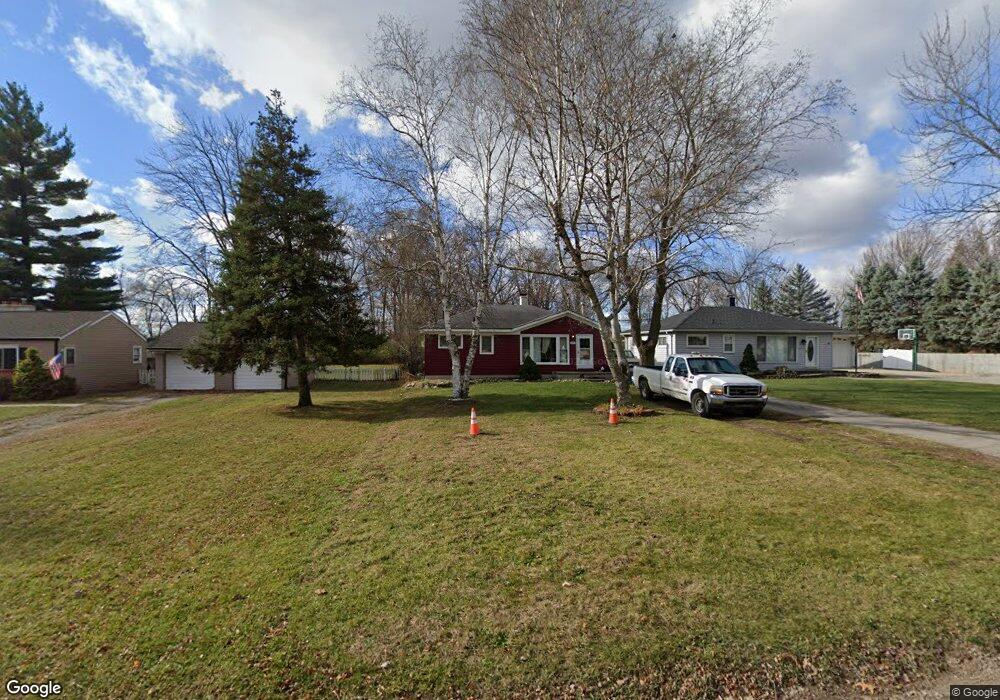
5667 Huff St Westland, MI 48185
Estimated Value: $164,000 - $222,000
--
Bed
1
Bath
936
Sq Ft
$197/Sq Ft
Est. Value
About This Home
This home is located at 5667 Huff St, Westland, MI 48185 and is currently estimated at $184,489, approximately $197 per square foot. 5667 Huff St is a home located in Wayne County with nearby schools including P.D. Graham Elementary School, Marshall Upper Elementary School, and Adlai Stevenson Middle School.
Ownership History
Date
Name
Owned For
Owner Type
Purchase Details
Closed on
May 31, 2002
Sold by
Kramer Jeffrey J
Bought by
Hayes Jay B
Current Estimated Value
Home Financials for this Owner
Home Financials are based on the most recent Mortgage that was taken out on this home.
Original Mortgage
$121,200
Interest Rate
6.63%
Purchase Details
Closed on
May 24, 1996
Sold by
Jeff Kramer
Bought by
Carlson Eric and Carlson Robin
Create a Home Valuation Report for This Property
The Home Valuation Report is an in-depth analysis detailing your home's value as well as a comparison with similar homes in the area
Home Values in the Area
Average Home Value in this Area
Purchase History
| Date | Buyer | Sale Price | Title Company |
|---|---|---|---|
| Hayes Jay B | $125,000 | -- | |
| Carlson Eric | $85,000 | -- |
Source: Public Records
Mortgage History
| Date | Status | Borrower | Loan Amount |
|---|---|---|---|
| Previous Owner | Hayes Jay B | $121,200 |
Source: Public Records
Tax History Compared to Growth
Tax History
| Year | Tax Paid | Tax Assessment Tax Assessment Total Assessment is a certain percentage of the fair market value that is determined by local assessors to be the total taxable value of land and additions on the property. | Land | Improvement |
|---|---|---|---|---|
| 2025 | $2,197 | $76,000 | $0 | $0 |
| 2024 | $2,197 | $69,300 | $0 | $0 |
| 2023 | $1,470 | $62,100 | $0 | $0 |
| 2022 | $1,678 | $53,000 | $0 | $0 |
| 2021 | $1,635 | $50,500 | $0 | $0 |
| 2020 | $1,616 | $44,300 | $0 | $0 |
| 2019 | $1,559 | $40,100 | $0 | $0 |
| 2018 | $1,209 | $37,400 | $0 | $0 |
| 2017 | $508 | $37,000 | $0 | $0 |
| 2016 | $1,512 | $37,900 | $0 | $0 |
| 2015 | $2,994 | $32,130 | $0 | $0 |
| 2013 | $2,900 | $30,060 | $0 | $0 |
| 2012 | $1,290 | $30,300 | $0 | $0 |
Source: Public Records
Map
Nearby Homes
- 5834 Morley St
- 38201 Carolon Blvd Unit 17B
- 38247 Carolon Blvd Unit 12C
- 38066 Sherwood St
- 38030 Greenwood St
- 5889 N Globe St
- 2260 N Hix Rd Unit 1C
- 6013 N Newburgh Rd
- 5692 N Globe St
- 38343 Carolon Blvd
- 38302 Warner Farms Dr Unit 24
- 1750 N Hix Rd
- 38074 Hixford Place
- 6026 Wilmer St
- 38122 Hixford Place
- 0 Dowling Ave
- 37186 Amhurst Dr Unit 5
- 6541 Pembrook Dr
- 37575 Barkridge Cir Unit 54
- 977 N Newburgh Rd