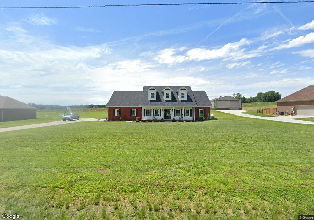
5667 State Route 142 Philpot, KY 42366
Estimated Value: $191,000 - $602,000
--
Bed
--
Bath
--
Sq Ft
1.02
Acres
About This Home
This home is located at 5667 State Route 142, Philpot, KY 42366 and is currently estimated at $402,792. 5667 State Route 142 is a home with nearby schools including Country Heights Elementary School, College View Middle School, and Daviess County High School.
Ownership History
Date
Name
Owned For
Owner Type
Purchase Details
Closed on
Oct 8, 2021
Sold by
Howard Brian A and Howard Dana O
Bought by
Bullington Sarah B and Bullington Aaron
Current Estimated Value
Home Financials for this Owner
Home Financials are based on the most recent Mortgage that was taken out on this home.
Original Mortgage
$296,000
Outstanding Balance
$270,969
Interest Rate
3.07%
Mortgage Type
Construction
Estimated Equity
$131,823
Purchase Details
Closed on
Apr 1, 2015
Bought by
Howard Brian A and Howard Dana O
Create a Home Valuation Report for This Property
The Home Valuation Report is an in-depth analysis detailing your home's value as well as a comparison with similar homes in the area
Home Values in the Area
Average Home Value in this Area
Purchase History
| Date | Buyer | Sale Price | Title Company |
|---|---|---|---|
| Bullington Sarah B | $370,000 | Foreman Watson Land Title Llc | |
| Howard Brian A | $30,000 | -- |
Source: Public Records
Mortgage History
| Date | Status | Borrower | Loan Amount |
|---|---|---|---|
| Open | Bullington Sarah B | $296,000 |
Source: Public Records
Tax History Compared to Growth
Tax History
| Year | Tax Paid | Tax Assessment Tax Assessment Total Assessment is a certain percentage of the fair market value that is determined by local assessors to be the total taxable value of land and additions on the property. | Land | Improvement |
|---|---|---|---|---|
| 2025 | -- | $370,000 | $0 | $0 |
| 2024 | $38 | $370,000 | $0 | $0 |
| 2023 | $3,880 | $370,000 | $0 | $0 |
| 2022 | $3,967 | $370,000 | $0 | $0 |
| 2021 | $3,219 | $297,041 | $0 | $0 |
| 2020 | $3,246 | $297,041 | $0 | $0 |
| 2019 | $3,184 | $297,041 | $0 | $0 |
| 2018 | $6,582 | $297,041 | $0 | $0 |
| 2017 | $728 | $65,000 | $0 | $0 |
| 2016 | $304 | $30,000 | $0 | $0 |
| 2015 | -- | $30,000 | $0 | $0 |
Source: Public Records
Map
Nearby Homes
- 5141 Pleasant Valley Rd
- 2423 Nannie Belle Loop
- 4883 Oak Meadow Ct
- 4131 S Hampton Rd
- 6208 Kentucky 144
- 2736 Hillside Dr
- 6453 Roy Wells Rd
- 2835 Timberline Dr
- 4883 Pleasant Grove Rd
- 5741 Timberlane Dr
- 2118 Arlington Park Blvd
- 5450 Park Haven Bend
- 2644 Hayden Rd
- 3434 Woodlane Dr
- 1907 Sturbridge Place
- 5030 Sturbridge Place
- 5110 Sturbridge Place
- 5106 Sturbridge Place
- 6613 Barcroft
- The Sheffield Plan at Saddle Pointe
- 5693 State Route 142
- 5641 State Route 142
- 5615 State Route 142
- 5719 State Route 142
- 5589 State Route 142
- 5760 Lane Rd
- 5644 State Route 142
- 5696 Lane Rd
- 5750 Lane Rd
- 5714 Lane Rd
- 5563 Kentucky 142
- 5563 State Route 142
- 5610 State Route 142
- 5735 Lane Rd
- 5547 State Route 142
- 5699 Lane Rd
- 5592 State Route 142
- 5781 State Route 142
- 5662 Lane Rd
- 5675 Lane Rd