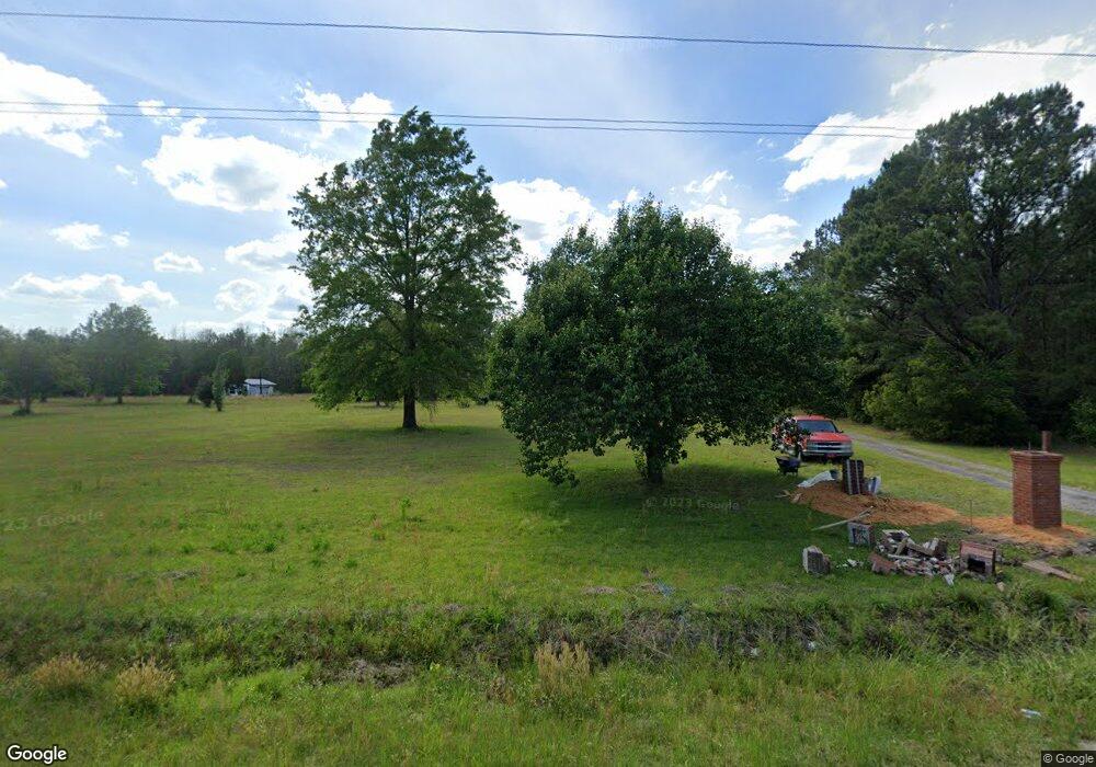
5668 Freedom Rd Branchville, SC 29432
Estimated Value: $147,000 - $323,605
4
Beds
3
Baths
2,375
Sq Ft
$105/Sq Ft
Est. Value
About This Home
This home is located at 5668 Freedom Rd, Branchville, SC 29432 and is currently estimated at $248,401, approximately $104 per square foot. 5668 Freedom Rd is a home located in Orangeburg County with nearby schools including Lockett Elementary, Lockett Elementary School, and Branchville High School.
Ownership History
Date
Name
Owned For
Owner Type
Purchase Details
Closed on
Apr 27, 2011
Sold by
York Dianne
Bought by
Taylor Sharese B and Taylor Alvin N
Current Estimated Value
Purchase Details
Closed on
Aug 27, 2010
Sold by
Bowman Flossie Mae
Bought by
York Dianne
Home Financials for this Owner
Home Financials are based on the most recent Mortgage that was taken out on this home.
Original Mortgage
$154,800
Outstanding Balance
$111,421
Interest Rate
4.61%
Mortgage Type
New Conventional
Estimated Equity
$136,980
Purchase Details
Closed on
Aug 25, 2009
Sold by
Estate Of Robert L Bowman Sr
Bought by
Bowman Flossie Mae
Create a Home Valuation Report for This Property
The Home Valuation Report is an in-depth analysis detailing your home's value as well as a comparison with similar homes in the area
Home Values in the Area
Average Home Value in this Area
Purchase History
| Date | Buyer | Sale Price | Title Company |
|---|---|---|---|
| Taylor Sharese B | -- | -- | |
| York Dianne | $144,000 | -- | |
| Bowman Flossie Mae | -- | -- |
Source: Public Records
Mortgage History
| Date | Status | Borrower | Loan Amount |
|---|---|---|---|
| Open | York Dianne | $154,800 |
Source: Public Records
Tax History Compared to Growth
Tax History
| Year | Tax Paid | Tax Assessment Tax Assessment Total Assessment is a certain percentage of the fair market value that is determined by local assessors to be the total taxable value of land and additions on the property. | Land | Improvement |
|---|---|---|---|---|
| 2024 | $1,148 | $10,037 | $533 | $9,504 |
| 2023 | $4,310 | $6,938 | $466 | $6,472 |
| 2022 | $941 | $6,938 | $466 | $6,472 |
| 2021 | $926 | $6,938 | $466 | $6,472 |
| 2020 | $906 | $6,938 | $466 | $6,472 |
| 2019 | $911 | $6,938 | $466 | $6,472 |
| 2018 | $917 | $6,738 | $466 | $6,272 |
| 2017 | $907 | $6,738 | $0 | $0 |
| 2016 | $907 | $6,738 | $0 | $0 |
| 2015 | $836 | $6,738 | $0 | $0 |
| 2014 | $836 | $6,739 | $467 | $6,272 |
| 2013 | -- | $7,006 | $466 | $6,540 |
Source: Public Records
Map
Nearby Homes
- 5837 Freedom Rd
- 496 O C 4148
- 0 Highway 210 Unit 24752850
- 703 Calhoun St
- 0 Calhoun St Unit 170350
- 0 Calhoun St Unit 25018526
- 115 Rowes Pump Dr
- 4003 Rowesville Rd
- 00 Freedom Rd
- 323 Railroad Ave
- TBD Ellis St
- 1 Freedom Rd
- 1307 Dusty Rd
- 319 Hewitt Rd
- 281 Bridge St
- 331 Bridge St
- 1373 Bridge St
- 1 Parnel Rd
- 0 Gordon Dr
- 1 Stevenson Rd
- 5676 Freedom Rd
- 0 Mays Chapel Rd
- 5624 Freedom Rd
- 5728 Freedom Rd
- 5608 Freedom Rd
- 164 Fox Paw Ct
- 5738 Freedom Rd
- 5739 Freedom Rd
- 220 Greywood Dr
- 220 Greywood Dr
- 248 Greywood Dr
- 0 O C 4142
- 219 Greywood Dr
- 118 Seacrest Ln
- 5537 Freedom Rd
- 5822 Freedom Rd
- 5829 Freedom Rd
- 152 Seacrest Ln
- 5855 Freedom Rd
- 297 Fox Paw Ct
