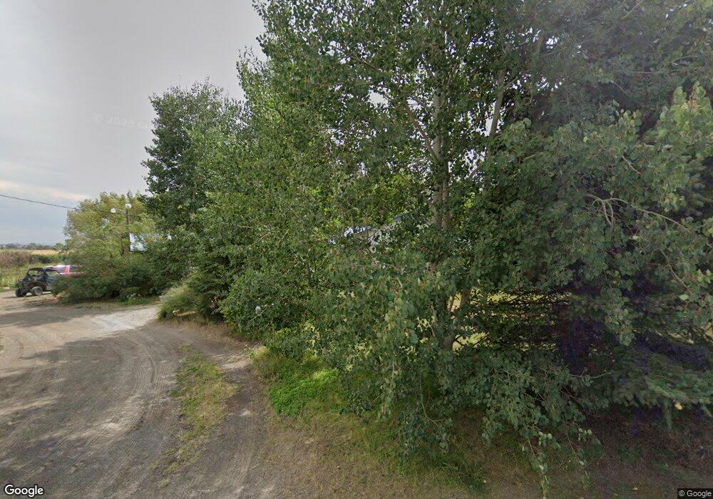
5669 W 7000 N Saint Anthony, ID 83445
Estimated Value: $415,750 - $457,000
3
Beds
2
Baths
2,427
Sq Ft
$180/Sq Ft
Est. Value
About This Home
This home is located at 5669 W 7000 N, Saint Anthony, ID 83445 and is currently estimated at $436,375, approximately $179 per square foot. 5669 W 7000 N is a home located in Madison County with nearby schools including Central Elementary School, Kershaw Intermediate School, and Sugar-Salem Junior High School.
Create a Home Valuation Report for This Property
The Home Valuation Report is an in-depth analysis detailing your home's value as well as a comparison with similar homes in the area
Home Values in the Area
Average Home Value in this Area
Tax History Compared to Growth
Tax History
| Year | Tax Paid | Tax Assessment Tax Assessment Total Assessment is a certain percentage of the fair market value that is determined by local assessors to be the total taxable value of land and additions on the property. | Land | Improvement |
|---|---|---|---|---|
| 2025 | $1,185 | $361,108 | $88,533 | $272,575 |
| 2024 | $1,185 | $361,108 | $88,533 | $272,575 |
| 2023 | $1,185 | $331,649 | $67,314 | $264,335 |
| 2022 | $1,495 | $306,566 | $56,095 | $250,471 |
| 2021 | $1,199 | $237,617 | $39,876 | $197,741 |
| 2020 | $1,097 | $193,754 | $32,376 | $161,378 |
| 2019 | $1,144 | $177,386 | $32,376 | $145,010 |
| 2018 | $1,008 | $162,738 | $32,376 | $130,362 |
| 2017 | $1,043 | $155,414 | $32,376 | $123,038 |
| 2016 | $1,044 | $152,914 | $29,876 | $123,038 |
| 2015 | $1,013 | $150,800 | $0 | $0 |
| 2013 | -- | $150,800 | $0 | $0 |
Source: Public Records
Map
Nearby Homes
- 6631 W 6000 N
- 435 N 1500 E
- 140 N 5000 W
- 3620 Yosemite Cir
- TBD Henry's Fork Way
- 2700 N 6000 W
- 2120 N 6000 W
- 205 N N 1800 E
- 3625 N 2000 W
- 1821 E E 170 N
- 1800 E 180 N
- 1820 E 180 N
- 2303 W 3000 N
- 3804 W 2000 N
- TBD Fort Henry Estates
- 2561 Silverleaf Ln
- 2977 N 2000 W
- TBD Clover Meadow Way
- LOT 4 E 350 N
- LOT 5 E 350 N
